Sujet
Aerocartograph Mapping
Légende
Washington, D.C.: October 13, 1927
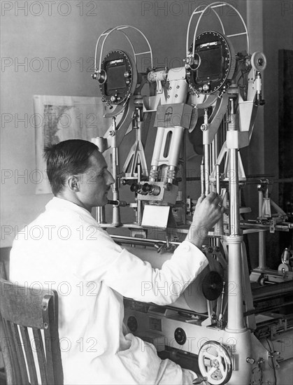
Heinz Gruner of the U.S. Geological Survey doing experimental trials of an aerocartograph to do topographic mapping with aerial images © Underwood Archives / The Image Works
Date
13 oct. 1927
Crédit
Photo12/Underwood Archives/UIG
Notre référence
UMG20A12_341
Model release
Non
Property release
NA
Licence
Droits gérés
Format disponible
56.8Mo (2.9Mo) / 33.0cm x 43.2cm / 3894 x 5100 (300dpi)