Légende
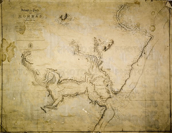
Map of Mombas Island, 1827. A map of the island and ports of Mombas (Mombasa), surveyed under the direction of Captain W.F.W. Owen of HMS Leven. The map was produced by the Hydrographical Office of the Admirality and was published in London in 1827. Mombas (Mombasa), Kenya, 1827. Mombasa, Coast, Kenya, Eastern Africa, Africa.
Crédit
Photo12/Universal Images Group
Notre référence
UMG12A07_430
Licence
Droits gérés
Format disponible
57.0Mo (2.6Mo) / 42.9cm x 33.3cm / 5068 x 3931 (300dpi)