Period

7 results for: cartographic symbols

  • Page
  • of
  • 1
Please sign in for more results
Actual depiction of the strong city of Sluys, with all its forts, redoubts, and excavated teychen,
LZT26B46_022

Actual depiction of the strong city of Sluys, with...

t Landaw area, the diocese of Speir and the surrounding area, Landauiae et Spirae territory, cum
LZT26B29_155

t Landaw area, the diocese of Speir and the surrou...

Map of the Bravalla heath, Topographica Delineatio Camporum Bravielsium in Smolandiae Praefectura
LZT26B28_400

Map of the Bravalla heath, Topographica Delineatio...

Historical map of the Netherlands with the territories of the Batavians and Frisians, Descriptio
LZT26B34_044

Historical map of the Netherlands with the territo...

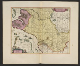
La Saintonge vers le Midy auecq. le Brovageais, terre d'Arvert &C.; Gerard Valck 1651/52–1726 and
LZT26A06_297

La Saintonge vers le Midy auecq. le Brovageais, te...
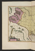
La Saintonge vers le Midy auecq. le Brovageais, terre d'Arvert &C. Map by Nicolas Sanson;
LZT26A06_298

La Saintonge vers le Midy auecq. le Brovageais, te...
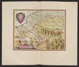
Le pais de Bearn; cartographic map of Béarn, France Aquitaine; makers: Pieter Schenck 1660–1711 and
LZT26A06_310

Le pais de Bearn; cartographic map of Béarn, Franc...