Caption
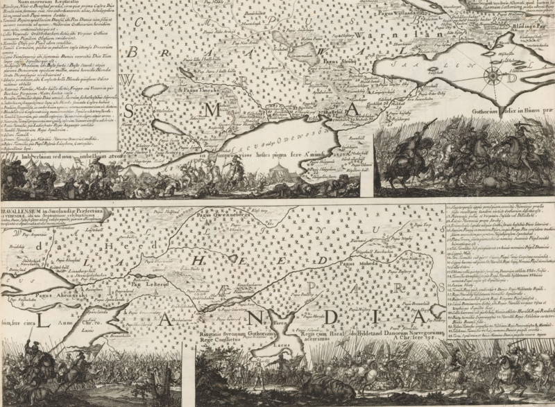
Map of the Bravalla heath, Topographica Delineatio Camporum Bravielsium in Smolandiae Praefectura Cronebergensi territorio Alboensi, Suecia Antiqua et Hodierna, print, album page, folder, printmaker: Willem Swidde, Stockholm, supervision: Erik Jönssen Dahlberg, 1693, paper, etching, height 293 mm x width 379 mm, Bravalla heath, A detailed monochrome engraving showing a large map with coastlines, islands, labeled regions, and many small repeated symbols covering land areas, framed by blocks of text and cartographic elements like a compass rose. Along the top and middle horizontal bands are dense rows of engraved battle scenes and gatherings of mounted figures, foot soldiers, tents, banners, and fallen bodies depicted in dynamic poses. The map includes stylized shorelines, pen-and-ink shading, clusters of small tree-like marks, and numerous place labels rendered in ornate script. Decorative elements include framed legend boxes, ornamental cartouches, and densely hatched shading creating contrast between land and water. The overall composition is divided into horizontal strips combining map detail with illustrative vignette scenes, all rendered in fine line work and crosshatching.
Credit line
Photo12/Liszt Collection
Reference
LZT26B28_400
License type
Rights managed
Available size
34.7Mb (9.4Mb) / 13.6in x 9.9in / 4066 x 2984 (300dpi)