1251 results for: map of the world
- Page
-
- of
- 13
Please sign in for more results
BRK26C87_082
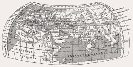
World map by Claudius Ptolemy, c.?100 – c.?170, a ...
BRK26C98_244
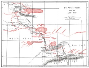
The Gobi Desert with Lop Nur or Lop Nor, East Asia...
BRK26C77_098
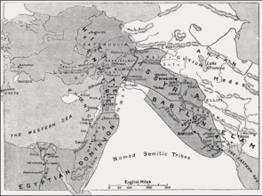
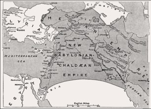
Map of the Babylonian Empire, 1500 BC until 1000 B...
BRK26D02_391
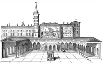
Old St. Peter's Basilica, Vatican, Rome, Italy, 13...
BRK26C72_440
Map of the Empires after the fall of Assyria, 600 ...
BRK26C85_048
Oberhausen, North Rhine-Westphalia, Germany, Gasom...
BRK26D05_247
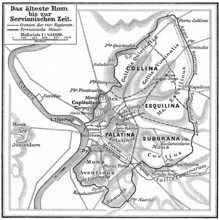
Map of ancient Rome, Italy
BRK26D04_297
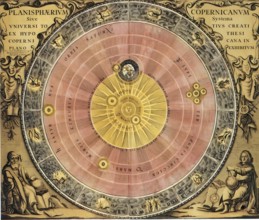
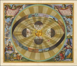
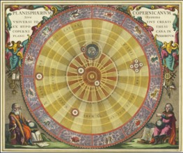
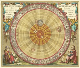
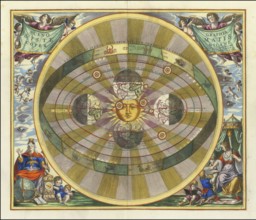
Copernicus' worldview, the sun as the center of th...
BRK26C78_037
The Parable of the Weeds, New Testament, steel eng...
BRK26D00_438
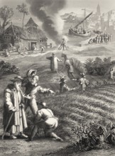
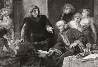
Martin von Behaim, German astronomer, showing his ...
BRK26C80_487
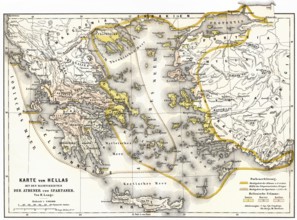
Territory of ancient Hellas, Sparta and Athens
BRK26C15_403
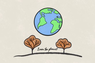
Illustration of planet Earth above two stylized tr...
BRK26C42_368
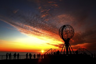
North Cape sunset with iconic globe and people in ...
BRK26C42_372
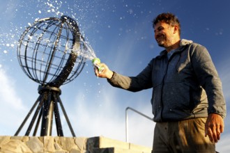
Man spraying globe sculpture at North Cape against...
BRK26C42_248
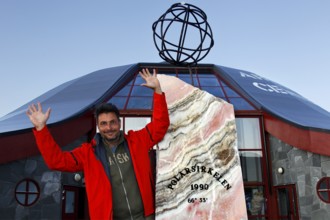
Happy person in front of the distinctive symbol of...
BRK26C18_149
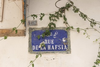
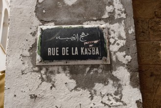
A Tunisian street sign for Rue de la Hafsia writte...
BRK26C19_261
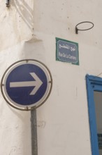
A one-way blue street sign on Rue de la Carriere, ...
BRK26C18_152
Tunis, Tunisia. 13th May 2024 A Tunisian street si...
BRK26C19_181
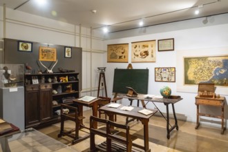
Vintage classroom with old wooden desks, a chalkbo...
BRK26C13_486
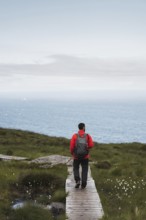
A traveler wearing a red jacket and backpack walks...
BRK26C23_373
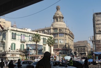
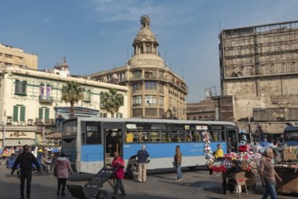
Cairo, Egypt. December 7th 2022 Busy Traffic cross...
BRK26C35_425
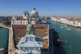
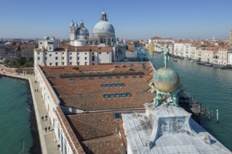
Drone footage of the Dogana da Mar, moving wind va...
BRK26C11_104
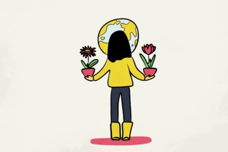
A whimsical illustration of a woman with a globe h...
BRK26C04_203
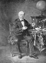
Hermann Ludwig Ferdinand Helmholtz, from 1883 von ...

BRK26C49_496
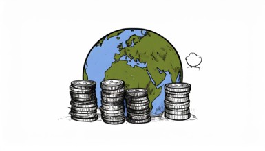
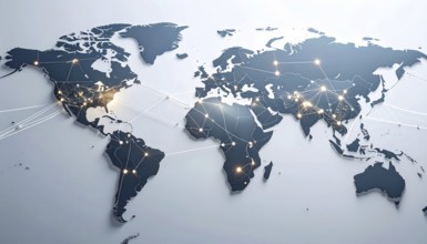
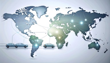
Concept of global international trade and commerce...

BRK26C47_417
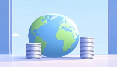
Green earth globe with silver coin stack symbolizi...

BRK26C47_415
Green earth globe with silver coin stack symbolizi...
BRK26B81_394
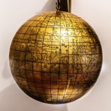
Jagiellonian globe, first globe, with the newly di...

BRK26B58_417
Symbolic image, dove of peace on a democratic glob...

BRK26C01_406
Green earth globe with silver coin stack symbolizi...

BRK26C01_408
Green earth globe with silver coin stack symbolizi...
BRK26B81_482
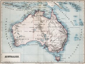
Color topographic map of the island of Australia, ...
BRK26B85_077
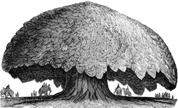
The baobab or baobab tree (Adansonia digitata) Gam...
BRK26B85_087
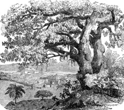
Breadfruit tree (Artocarpus altilis), also (Artoca...
BRK26B55_020
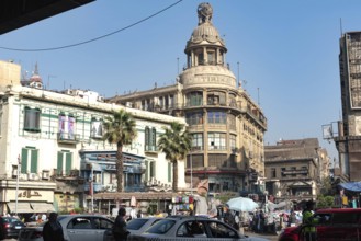
Cairo, Egypt. December 7th 2022 Busy Traffic cross...
BRK26B85_084
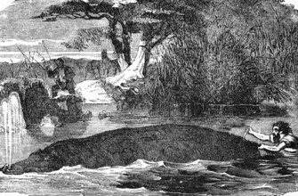
Hippopotamus (Hippopotamus amphibius) river, swim,...
BRK26B55_050
Cairo, Egypt. December 7th 2022 Busy Traffic cross...
BRK26B85_086
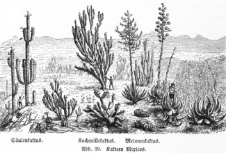
Various cactus species in the wild in the mountain...
BRK26B85_079
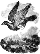
Pigeon flying with mail, dove breed domestic pigeo...
BRK26B85_078
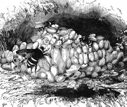
The Large earth bumblebee (Bombus terrestris) in i...
BRK26B85_085
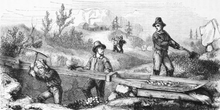
Gold seekers mining, USA, hilly landscape, mineral...

BRK26B98_497
Dhaka, Bangladesh- 02 Dec 2025: A Close-up of a la...
BRK26B85_082
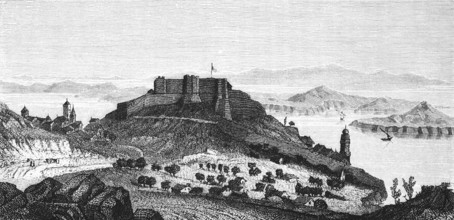
Fort San Giovanni near Sebenico or Šibenik, Croati...

BRK26B85_083
Taming a wild elephant, shackles, pegs in soil, at...
BRK26B85_081
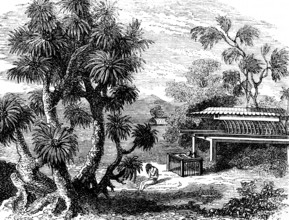
A Pandanus (Pandanus) tree, screw tree family (Pan...
BRK26B12_019
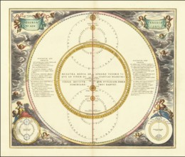
Celestial map entitled Hæmisphærium Stellatum Bore...
BRK26B12_023
Planisphaerium Braheum, a famous historical celest...
BRK26B12_044
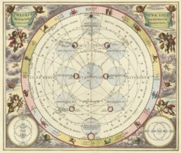
Historical astronomical map Theoria Lunae, Eius Mo...
BRK26B12_483
Jagiellonian globe, first globe, with the newly di...
BRK26B12_035
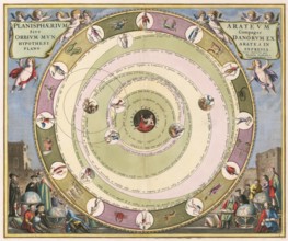
Planisphaerium of Aratos from the famous celestial...
BRK26B12_046
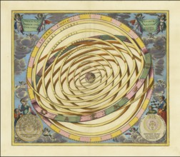
Historical illustration of the orbits of Mercury a...
BRK26B07_430
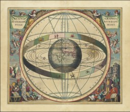
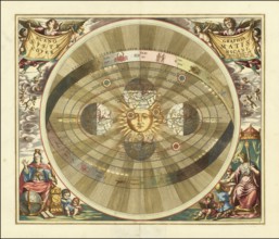
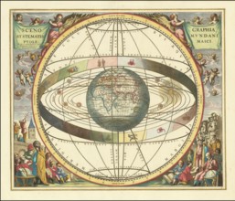
Historical sky map known as Scenographia Systemati...
BRK26B12_043
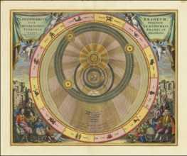
Scenographia Systematis Copernicani, scenography o...
BRK26B12_029
Orbium Planetarum Terram Complectentium Scenograph...
BRK26B12_349
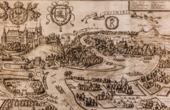
Map of Kazimierz, copper engraving, 1608, Kazimier...
BRK26B07_429
Historical presentation of the tychonic world view...
BRK26B12_022
Planisphaerium Copernicanum sky diagram by Andreas...
BRK26B12_041
Scenographia Systematis Copernicani, scenography o...
BRK26B12_264
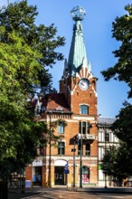
House under the globe, 1904, headquarters of the K...
BRK26B12_030
Planisphaerium Arateum, part of the famous celesti...
BRK26B12_028
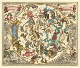
Celestial map of the southern hemisphere with the ...

BRK26B12_024
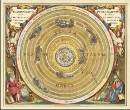
Historical celestial map depicting the Ptolemaic, ...
BRK26B12_032
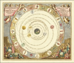
Historical astronomical map titled Planisphaerium ...
BRK26B12_021
Historical sky map with Ptolemy's geocentric world...
BRK26B12_033
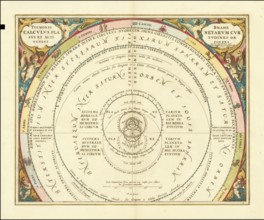
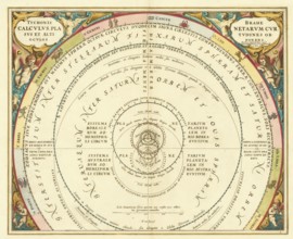
Presentation of the geocentric world view based on...
BRK26B12_017
Historical presentation of the Tychonic world syst...
BRK26B12_047
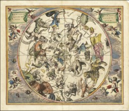
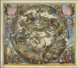
Historical sky map titled Haemisphaerium Stellatum...
BRK26B12_232
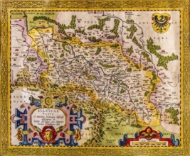
Map of Silesia as described by Martin Helwig from ...
BRK26B12_020
Historical map titled Scenographia Systematis Cope...
BRK26B12_045
Celestial map Typus Aspectuum Oppositionum et Coni...
BRK26B12_246
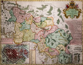
Map of Silesian theater of war and city map of Wro...
BRK26B06_100
Drone footage of the Dogana da Mar, moving wind va...
BRK26B43_172
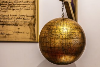
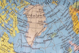
Puzzle globe. Map made from puzzle pieces. Greenla...
BRK26B08_168
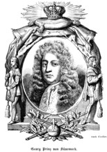
George Prince of Denmark (1653-1708) Duke of Cumbe...
BRK26B08_172
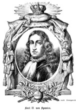
Carlos II, King Carlos II of Spain (1661-1700) col...
BRK26B38_275
Green earth globe with silver coin stack symbolizi...

BRK26B41_457
Concept of global international trade and commerce...
BRK26B08_160
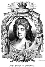
Sophie Dorothea Duchess of Brunswick and Lüneburg ...
BRK26B08_169
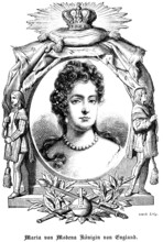
Mary of Modena, Queen of England, Scotland and Ire...
BRK26B08_170
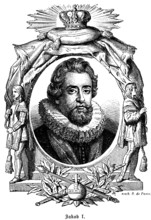
James I or Jacob I (1566-1625), son of Mary Stuart...
BRK26B08_161
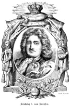
King Frederick I of Prussia (1657-1713) House of H...
BRK26B08_163
Portrait of famous people, oval, royal regalia, cr...
BRK26B38_181
Abstract visualization of global rare earth supply...
BRK26B08_165
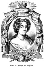
Mary II Queen of England (1662-1694) Curls, neckla...
BRK26B38_182
Abstract visualization of global rare earth supply...
BRK26B38_273
Green earth globe with silver coin stack symbolizi...
BRK26B07_487
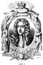
James II (1633-1701) James II of England also Jame...
BRK26B07_486
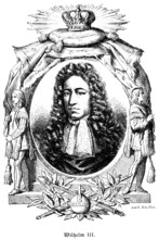
Prince William III of Orange (1650-1702) Governor ...
BRK26B07_499
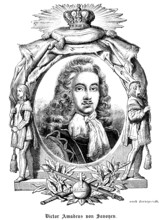
Victor Amadeus I of Savoy-Carignan (1690-1741) Pri...
BRK26B07_490
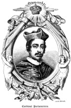
Cardinal Portocarrero (1636-1705) Archbishop of To...
BRK26B07_497
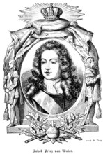
James Prince of Wales, James Francis Edward Stuart...
BRK26B16_261
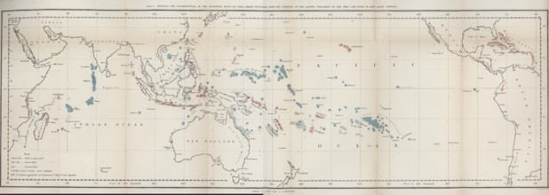
First map of the worldwide distribution of coral r...
BRK26B07_488
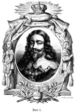
Charles I, Charles I (1600-1649) King of England, ...
BRK26B07_496
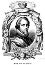
Moritz Prince of Orange (1567- 1625) Governor of t...
BRK26B17_267
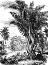
Vine palm, Raphia, palm family (Arecaceae), occurr...
BRK26B17_268
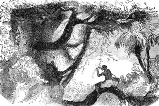
Collecting vanilla (Vanilla), family of orchids (O...

BRK26A87_211
Green earth globe with silver coin stack symbolizi...
BRK26A63_295
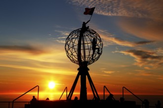
Man on the North Cape globe with flag at spectacul...
BRK26A63_296
Silhouette of a climber on the North Cape globe in...
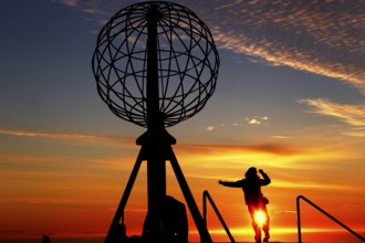
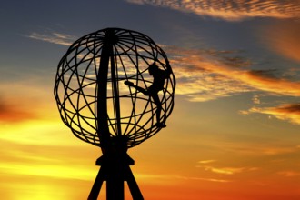
BRK26A63_292
Person jumping on the North Cape globe in front of...
- Page
-
- of
- 13