Caption
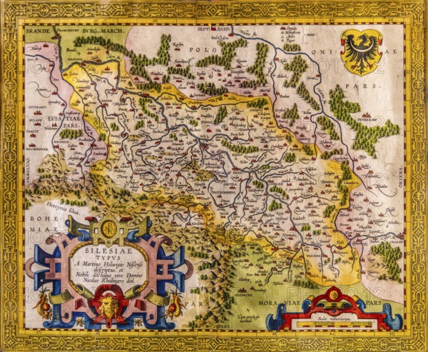
Map of Silesia as described by Martin Helwig from Neisse, cartographer Abraham Ortelius, copper engraving Antwerp 1609, Piast Castle Museum, 16th century, Gliwice, Poland
Date
Sep 09, 2025
Credit line
Photo12/imageBROKER/Raimund Franken
Reference
BRK26B12_232
Model release
No
Property release
No
License type
Rights managed
Available size
93.3Mb (9.8Mb) / 21.0in x 17.3in / 6300 x 5178 (300dpi)