Period

2004 results for: map of europe

  • Page
  • of
  • 21
Please sign in for more results
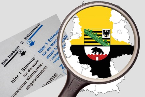
(Photo montage) Map of Saxony-Anhalt with state coat of arms under a magnifying glass
BRK26J05_405

(Photo montage) Map of Saxony-Anhalt with state co...
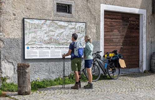
Two hikers are standing in front of a wall map at the top of the Gotthard Pass. The mountain pass
BRK26J40_005

Two hikers are standing in front of a wall map at ...
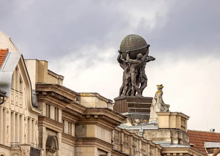
Museum of Communication in the building of the former Reich Post Ministry on Leipziger Straße, at
BRK26J27_306

Museum of Communication in the building of the for...

Map butterfly (Araschnia levana), caterpillars, North Rhine-Westphalia, Germany
BRK26J16_385

Map butterfly (Araschnia levana), caterpillars, No...
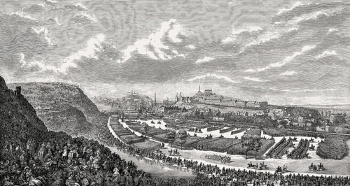
The Volunteer Review in the Queen's Park, 1860, Edinburgh, Scotland, United Kingdom
BRK26J13_370

The Volunteer Review in the Queen's Park, 1860, Ed...
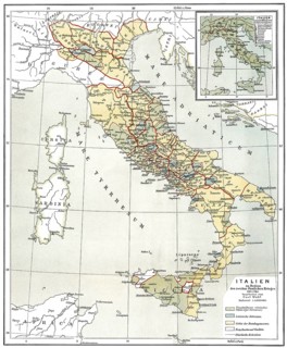
Historical map of Ancient Italy, c. 218 BC
BRK26J18_425

Historical map of Ancient Italy, c. 218 BC

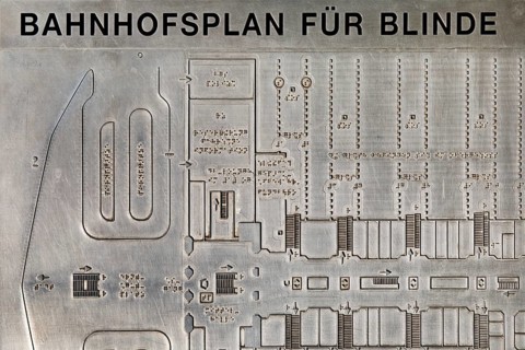
Railway station map for blind people to feel in the main railway station, Hanover, Lower Saxony,
BRK26J27_468

Railway station map for blind people to feel in th...
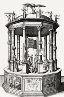
Tabvlæ Rudolphinæ, Rudolphine Tables, a book by Johannes Kepler, Tycho Brahe, Philipp Eckebrecht,
BRK26J20_375

Tabvlæ Rudolphinæ, Rudolphine Tables, a book by Jo...
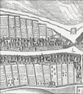
Bird's eye view of the Canongate, Edinburgh, Scotland, after James Gordon of Rothiemay, 17th
BRK26J42_200

Bird's eye view of the Canongate, Edinburgh, Scotl...
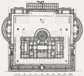
Plan of the Baths of Caracalla in ancient Rome, Italy, Reconstruction
BRK26J31_204

Plan of the Baths of Caracalla in ancient Rome, It...
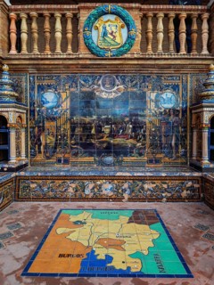
Alava province alcove at Plaza de Espana with a historical ceramic mural, coat of arms, decorative
BRK26J09_310

Alava province alcove at Plaza de Espana with a hi...
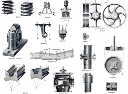
Machine gauge, simple machine parts, screws, bracket bearings, foot bearings, ordinary pin bearing,
BRK26I90_091

Machine gauge, simple machine parts, screws, brack...
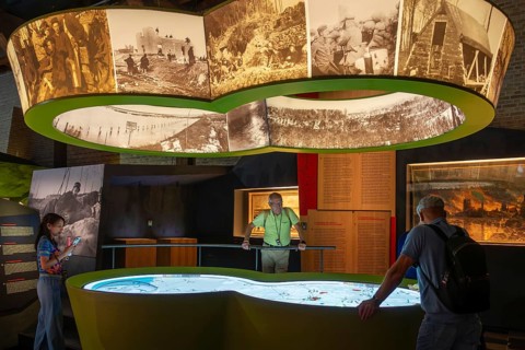
Visitors looking at map in the In Flanders Fields Museum about World War One at Ypres, Ieper, West
BRK26I82_209

Visitors looking at map in the In Flanders Fields ...
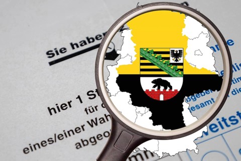
(Photo montage) Map of Saxony-Anhalt with state coat of arms under a magnifying glass
BRK26I57_458

(Photo montage) Map of Saxony-Anhalt with state co...
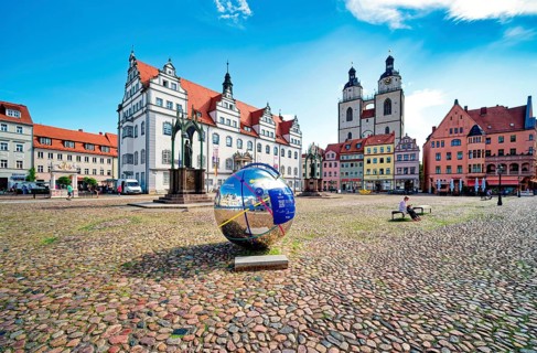
Market square with town hall, city church, town and parish church of St. Marien and globe with QR
BRK26I63_352

Market square with town hall, city church, town an...
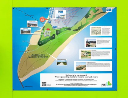
Information board with map about Landguard Nature Reserve, Landguard Fort, Port of Felixstowe,
BRK26I82_453

Information board with map about Landguard Nature ...
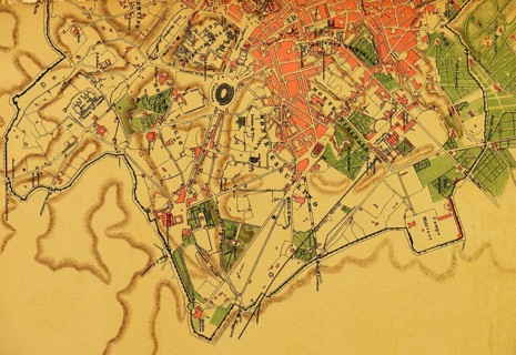
Detail from city map Roma Moderna, ancient Rome, 19th century, Montes Mountains, Circo Maximo,
BRK26I99_294

Detail from city map Roma Moderna, ancient Rome, 1...
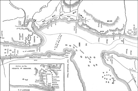
The Battle of the Plains of Abraham, Battle of Quebec, 1759, Seven Years' War
BRK26I75_024

The Battle of the Plains of Abraham, Battle of Que...
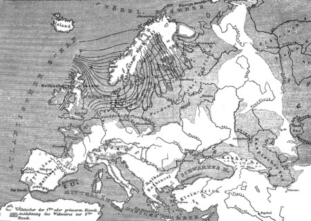
Topographical map of Europe during the last and penultimate ice age, glaciation, geology,
BRK26I92_331

Topographical map of Europe during the last and pe...
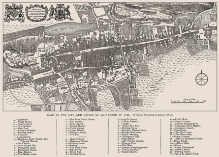
Plan of Edinburgh in 1742, Scotland, United Kingdom
BRK26I87_012

Plan of Edinburgh in 1742, Scotland, United Kingdo...
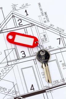
House plan with key. A residential key is on a map, Austria
BRK26I73_406

House plan with key. A residential key is on a map...
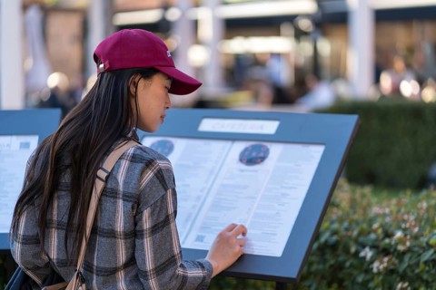
An Asian woman, wearing a red cap and plaid shirt, carefully reads an information panel at a
BRK26J00_452

An Asian woman, wearing a red cap and plaid shirt,...
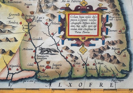
Old coloured map of Ceylon or Sri Lanka decorated with decorative cartouche, by Jodocus Hondius
BRK26I75_180

Old coloured map of Ceylon or Sri Lanka decorated ...
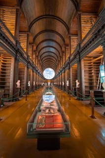
Library room with exhibited globe and old book collection, Trinity Collage, Dublin, Ireland
BRK26I04_081

Library room with exhibited globe and old book col...
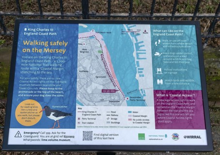
Information board and map King Charles III England Coast path, Wallasey, Wirral Peninsula,
BRK26I03_353

Information board and map King Charles III England...
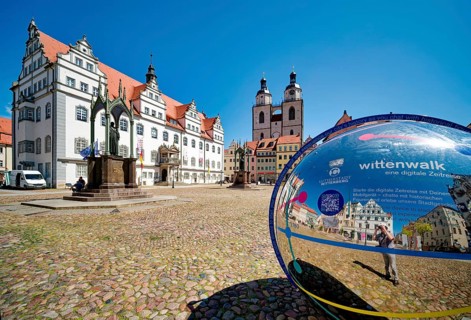
Market square with town hall, city church, town and parish church of St. Marien and globe with QR
BRK26I25_343

Market square with town hall, city church, town an...
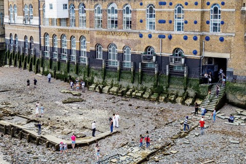
At low tide, families and mudlarkers pick across the stone and shingle foreshore below Horselydown
BRK26I23_414

At low tide, families and mudlarkers pick across t...

Chrome globe mascot bearing the Triumph name on a vintage car radiator grille
BRK26I52_208

Chrome globe mascot bearing the Triumph name on a ...
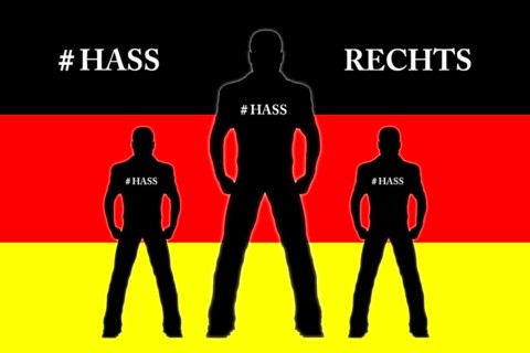
Reichsbürger, skinhead, skinheads, Nazi, right, clock, 5 in front of 12, Germany, national flag,
BRK26I14_127

Reichsbürger, skinhead, skinheads, Nazi, right, cl...
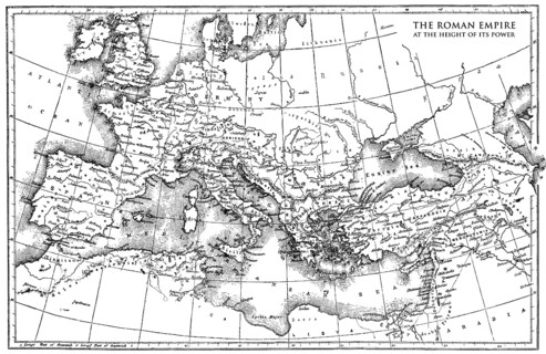
Historical map of the Roman Empire
BRK26I47_049

Historical map of the Roman Empire
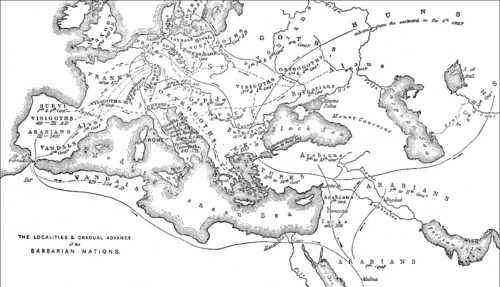
Historical map of the origin or occupation of the barbaric nations
BRK26I38_199

Historical map of the origin or occupation of the ...
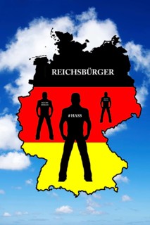
Reichsbürger, skinhead, skinheads, Nazi, right, clock, 5 in front of 12, Germany, national flag,
BRK26I29_348

Reichsbürger, skinhead, skinheads, Nazi, right, cl...

Young happy caucasian tourist couple sightseeing visit Tbilisi old city walk in street use map
BRK26I41_143

Young happy caucasian tourist couple sightseeing v...
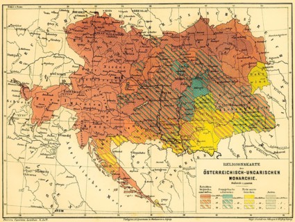
Religious map of the Austro-Hungarian Monarchy, percentage of believers, Catholics, Protestant
BRK26I40_443

Religious map of the Austro-Hungarian Monarchy, pe...
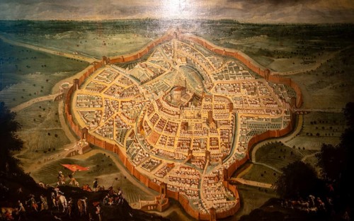
Painting, Map of Udine, Galleria d'Arte Antica, Castello di Udine, Friuli-Venezia Giulia, Italy
BRK26I12_198

Painting, Map of Udine, Galleria d'Arte Antica, Ca...
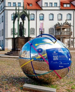
Market square with town hall and globe with QR code for historical apps, Luther city Wittenberg,
BRK26H67_037

Market square with town hall and globe with QR cod...
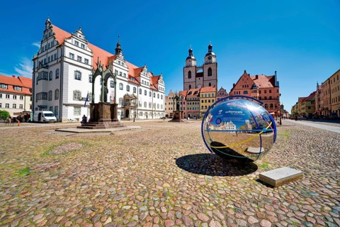
Market square with town hall, city church, town and parish church of St. Marien and globe with QR
BRK26H79_331

Market square with town hall, city church, town an...
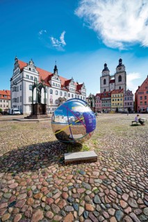
Market square with town hall, city church, town and parish church of St. Marien and globe with QR
BRK26H57_078

Market square with town hall, city church, town an...
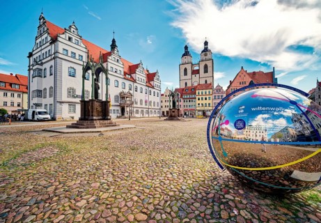
Market square with town hall, city church, town and parish church of St. Marien and globe with QR
BRK26H60_326

Market square with town hall, city church, town an...
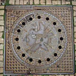
Artistically designed Berlin manhole cover with reliefs and city motifs, Alexanderplatz, Berlin
BRK26H66_282

Artistically designed Berlin manhole cover with re...
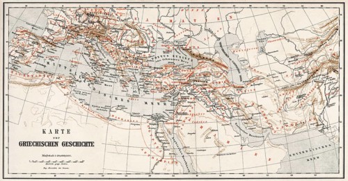
Historical map of ancient Greece
BRK26H84_500

Historical map of ancient Greece
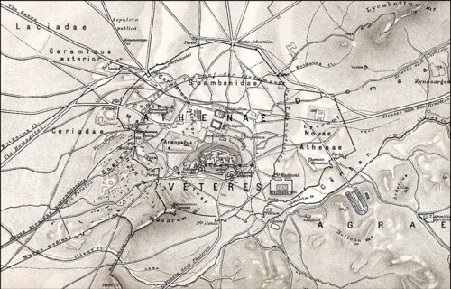
Historical map of ancient Athens, Greece, Europe, Historischer Stadtplan vom antiken Athen,
BRK26H82_268

Historical map of ancient Athens, Greece, Europe, ...
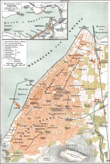
Historical city map, Smyrna or Izmir, Turkey, 19th Century, historischer Stadtplan von Izmir,
BRK26H91_410

Historical city map, Smyrna or Izmir, Turkey, 19th...
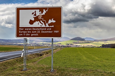
Road sign with map of Europe and text against green landscape and cloudy sky, The Point Alpha
BRK26H89_379

Road sign with map of Europe and text against gree...
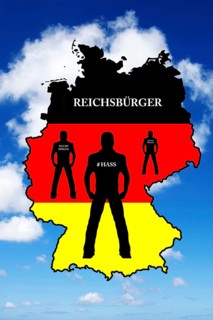
Reichsbürger, skinhead, skinheads, Nazi, Nazis, right, rights, clock, 5 to 12, Germany, national
BRK26H82_360

Reichsbürger, skinhead, skinheads, Nazi, Nazis, ri...
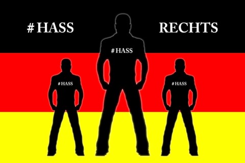
Reichsbürger, skinhead, skinheads, Nazi, right, clock, 5 in front of 12, Germany, national flag,
BRK26H65_373

Reichsbürger, skinhead, skinheads, Nazi, right, cl...
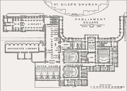
Plan of Parliament House and the Supreme Courts of Scotland, Edinburgh, 19th century
BRK26H91_097

Plan of Parliament House and the Supreme Courts of...
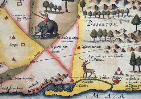
Old coloured map of Ceylon or Sri Lanka decorated with an elephant, by Jodocus Hondius from the
BRK26H78_339

Old coloured map of Ceylon or Sri Lanka decorated ...
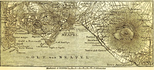
Map of the city of Naples and the surrounding area with the Vesuvius volcano, Pompei, Torre
BRK26I02_092

Map of the city of Naples and the surrounding area...
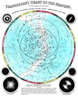
The circular planisphere shows the constellations of the night sky, which are visible all year
BRK26H65_172

The circular planisphere shows the constellations ...
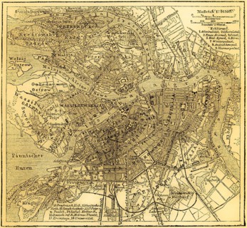
City map of Petersburg, St. Petersburg on the Neva, Baltic Sea, Russia, Eastern Europe, Gulf of
BRK26H57_357

City map of Petersburg, St. Petersburg on the Neva...
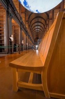
Wooden bench in a historic library with globe and classic busts, Trinity Collage, Dublin, Ireland
BRK26H10_011

Wooden bench in a historic library with globe and ...
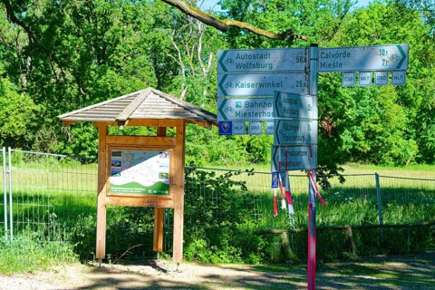
Information map and signpost in the Ohre wetland near Mieste in the UNESCO biosphere reserve
BRK26H04_361

Information map and signpost in the Ohre wetland n...
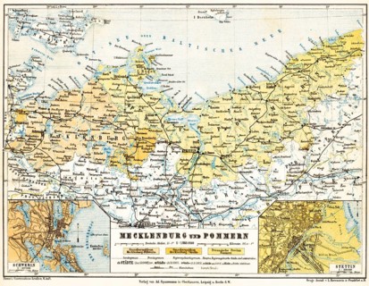
Map of Mecklenburg and Pomerania, city map of Schwerin and Szczecin, Grand Duchy of
BRK26H27_249

Map of Mecklenburg and Pomerania, city map of Schw...
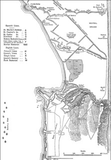
Plan of the Spanish attack on Gibraltar, Great Siege of Gibraltar, 1782, From British Battles on
BRK26H51_256

Plan of the Spanish attack on Gibraltar, Great Sie...
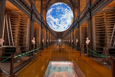
Impressive library with illuminated globe and classic busts, Trinity Collage, Dublin, Ireland
BRK26H05_097

Impressive library with illuminated globe and clas...
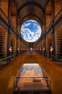
Impressive library with lively globe display and old books, Trinity Collage, Dublin, Ireland
BRK26H05_091

Impressive library with lively globe display and o...
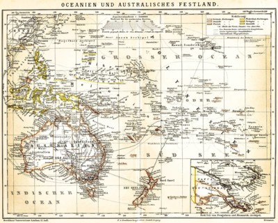
Map of Oceania and Mainland Australia with special map of Eastern New Guinea and Bismarck
BRK26H21_255

Map of Oceania and Mainland Australia with special...
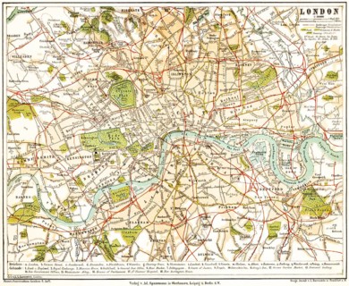
City map of London on the Thames, capital, England, Great Britain, United Kingdom, big city,
BRK26H41_492

City map of London on the Thames, capital, England...
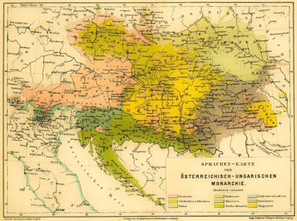
Language map of the Austro-Hungarian Empire, color map with scale, Czech Poland, German Slovaks,
BRK26H14_229

Language map of the Austro-Hungarian Empire, color...
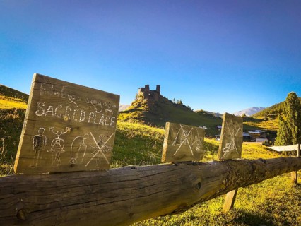
Sacred place with signs No woman in Upper Omalo. Tusheti national park sightseeing historical
BRK26H21_200

Sacred place with signs No woman in Upper Omalo. T...
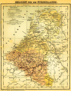
Belgium and the Netherlands, Luxembourg, Benelux countries, Brabant, Flanders, Namur, Geldern,
BRK26H24_202

Belgium and the Netherlands, Luxembourg, Benelux c...

Smiling woman hiker checking mobile GPS navigation app type message, use social media on smartphone
BRK26H22_208

Smiling woman hiker checking mobile GPS navigation...
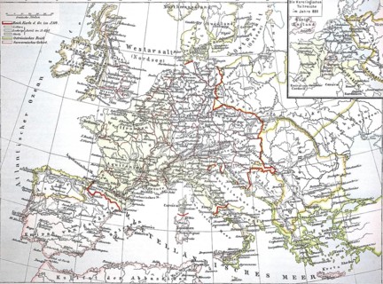
Map from 1890, Europe at the time of the Carolingians, Charlemagne's empire, illustration,
BRK26H04_367

Map from 1890, Europe at the time of the Carolingi...
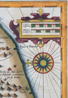
Old coloured map of Ceylon or Sri Lanka decorated with compass rose and decorative cartouche, by
BRK26H15_387

Old coloured map of Ceylon or Sri Lanka decorated ...
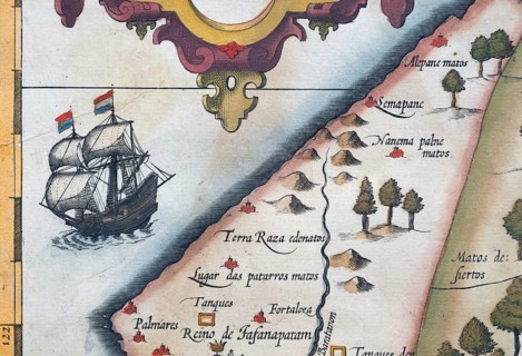
Old coloured map of Ceylon or Sri Lanka decorated with a sailing ship and decorative cartouche, by
BRK26H49_465

Old coloured map of Ceylon or Sri Lanka decorated ...
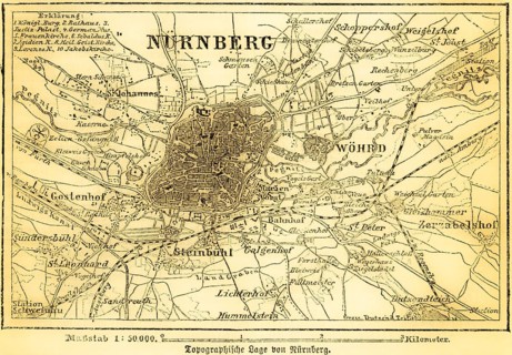
City map of Nuremberg and surrounding area, Pegnitz, Ludwigs Canal, villages, roads, railroad,
BRK26H21_231

City map of Nuremberg and surrounding area, Pegnit...
Old coloured map of Ceylon or Sri Lanka decorated with compass rose, by Jodocus Hondius from the
BRK26H22_397

Old coloured map of Ceylon or Sri Lanka decorated ...
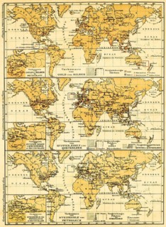
World maps of the continents with their mineral resources, detailed map of Germany, gold, silver,
BRK26H35_119

World maps of the continents with their mineral re...
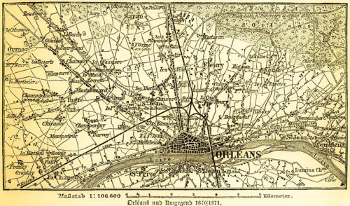
Plan of the city and surrounding area of Orleans on the Loire in 1870-71, France, roads, villages,
BRK26H24_367

Plan of the city and surrounding area of Orleans o...
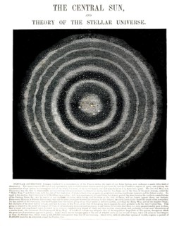
Astronomical diagram entitled The Central Sun, and Theory of the Stellar Universe, illustrates an
BRK26H30_264

Astronomical diagram entitled The Central Sun, and...
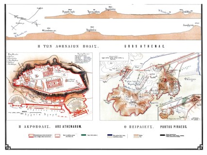
Historical map of ancient Athens from 1906, illustration comprising specific plans of H Acropolis
BRK26H31_469

Historical map of ancient Athens from 1906, illust...
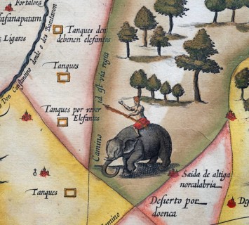
Old coloured map of Ceylon or Sri Lanka decorated with an elephant, by Jodocus Hondius from the
BRK26H31_344

Old coloured map of Ceylon or Sri Lanka decorated ...

Landcarts or Landcarts butterfly (Araschnia levana f. prorsa), butterfly of the summer generation,
BRK26G93_248

Landcarts or Landcarts butterfly (Araschnia levana...
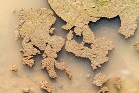
Puddle, looks like a map of Europe
BRK26G69_397

Puddle, looks like a map of Europe
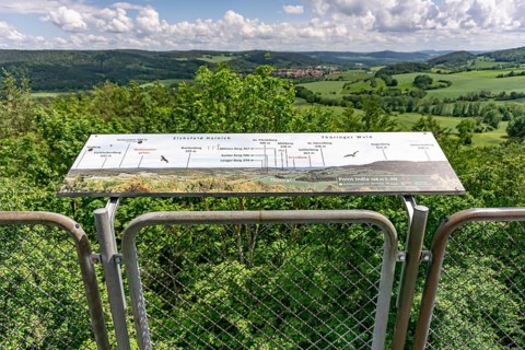
View from the observation tower of the former US military base Point India on the inner-German
BRK26G93_007

View from the observation tower of the former US m...
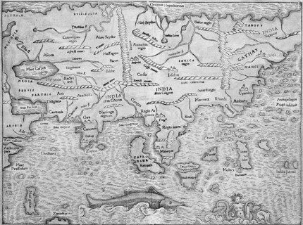
Asia, woodcut map from Sebastian Münster Cosmographey oder Beschreibung aller Länder, Basel 1578
BRK26G89_185

Asia, woodcut map from Sebastian Münster Cosmograp...
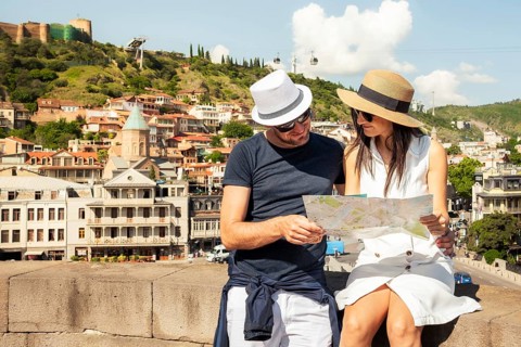
Couple study city map in Tbilisi old town, enjoying sunny day adventure visit sightseeing Georgia
BRK26G53_358

Couple study city map in Tbilisi old town, enjoyin...

Romantic Couple tourists having fun walking Tbilisi city streets on holiday. Happy friends laughing
BRK26G54_109

Romantic Couple tourists having fun walking Tbilis...
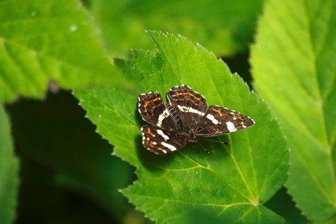
Map Butterfly (Araschnia levana, July, Saxony, Germany
BRK26G94_453

Map Butterfly (Araschnia levana, July, Saxony, Ger...
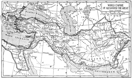
Historical map of the world empire of Alexander the Great
BRK26G67_017

Historical map of the world empire of Alexander th...
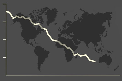
Illustration with falling share price and a world map symbolising a declining (world) economy
BRK26G93_256

Illustration with falling share price and a world ...
Person in Easter bunny costume at a market with a basket in front of a blue information sign,
BRK26G49_458

Person in Easter bunny costume at a market with a ...
Symbolic image Hiking with smartphone and hiking app, navigation on hiking trails, digital hiking
BRK26G48_441

Symbolic image Hiking with smartphone and hiking a...
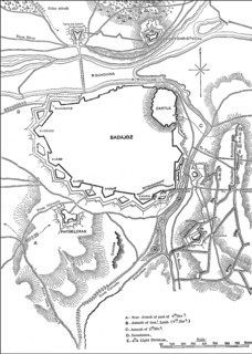
The Siege of Badajoz, 16 March – 6 April 1812, Peninsular War, From British Battles on Land and Sea
BRK26G21_100

The Siege of Badajoz, 16 March – 6 April 1812, Pen...
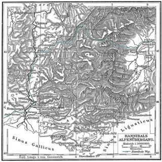
Hannibal Barkas, c. 246-183 BC, Carthaginian military commander trekking across the Alps
BRK26G23_155

Hannibal Barkas, c. 246-183 BC, Carthaginian milit...
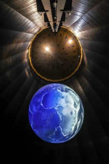
Oberhausen, North Rhine-Westphalia, Germany, Gasometer Oberhausen. The exhibition DAS ZERBRECHLICHE
BRK26G11_215

Oberhausen, North Rhine-Westphalia, Germany, Gasom...
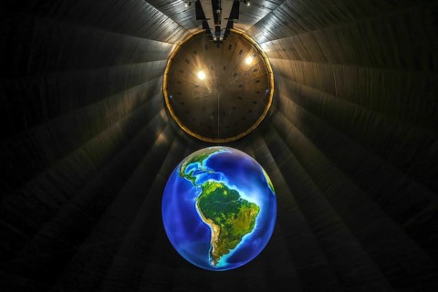
Oberhausen, North Rhine-Westphalia, Germany, Gasometer Oberhausen. The exhibition DAS ZERBRECHLICHE
BRK26G37_205

Oberhausen, North Rhine-Westphalia, Germany, Gasom...
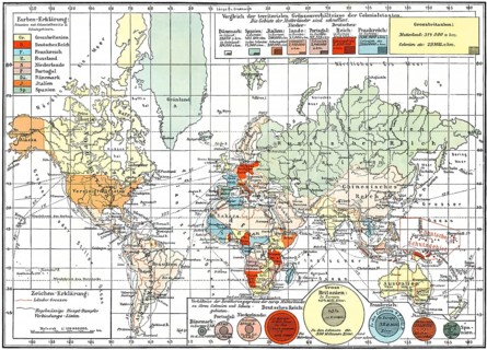
Map of colonial empires throughout the world, end of the 19th century, Weltkarte der Verteilung der
BRK26G17_136

Map of colonial empires throughout the world, end ...
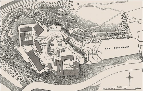
Ground plan of Edinburgh Castle in the 19th century
BRK26G40_413

Ground plan of Edinburgh Castle in the 19th centur...
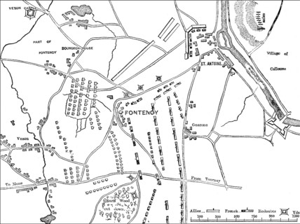
Battle of Fontenoy, War of the Austrian Succession, on 11 May 1745, Tournai, Belgium
BRK26G51_035

Battle of Fontenoy, War of the Austrian Succession...
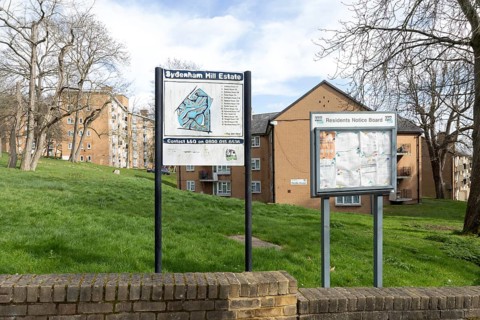
Residents Notice Board, map plan of Sydenham Hill Estate, Lewisham, London, SE26, England, UK
BRK26F92_128

Residents Notice Board, map plan of Sydenham Hill ...
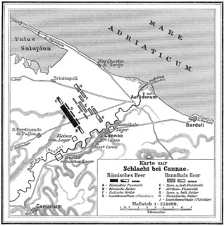
Battle of Cannae, Second Punic War on 2 August 216 BC
BRK26F79_094

Battle of Cannae, Second Punic War on 2 August 216...
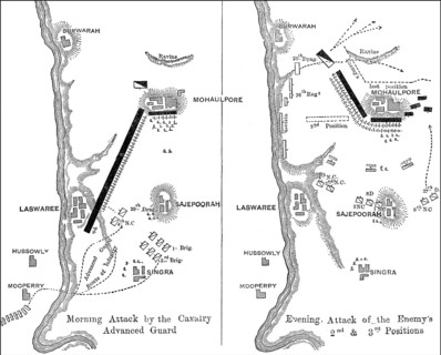
Battle of Laswari, November 1, 1803 near Laswari village, Alwar, Second Anglo-Maratha War, From
BRK26F59_284

Battle of Laswari, November 1, 1803 near Laswari v...
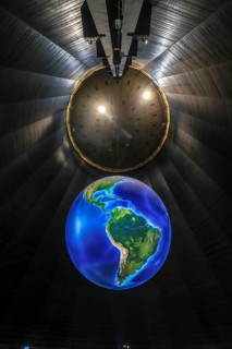
Oberhausen, North Rhine-Westphalia, Germany, Gasometer Oberhausen. The exhibition DAS ZERBRECHLICHE
BRK26F65_396

Oberhausen, North Rhine-Westphalia, Germany, Gasom...
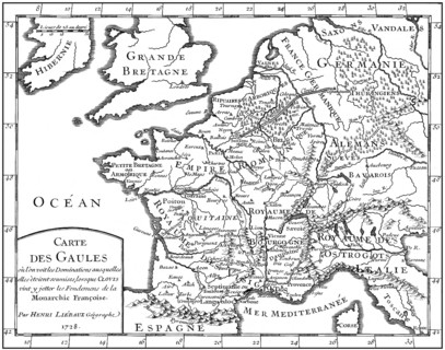
Map of Gaul, 5th century, foundations of the Françoise monarchy
BRK26F59_455

Map of Gaul, 5th century, foundations of the Franç...
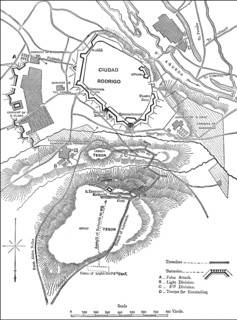
Siege of Ciudad Rodrigo, Wellington's campaign in Spain, 19 January 1812, Peninsular War, From
BRK26F76_145

Siege of Ciudad Rodrigo, Wellington's campaign in ...
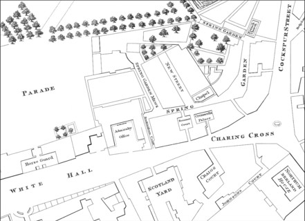
Map of Westminster, London, England, 1740
BRK26F70_254

Map of Westminster, London, England, 1740

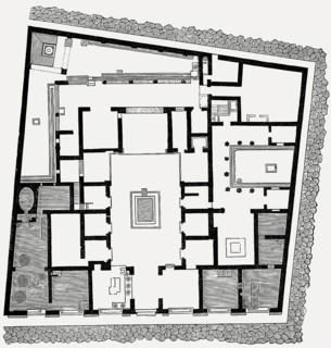
Plan of the House of Sallust, ancient Roman city of Pompeii
BRK26F83_093

Plan of the House of Sallust, ancient Roman city o...
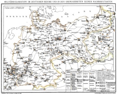
Historical military map of Germany, 1894, Historische militärische Landkarte, 1894, Deutschland
BRK26F61_160

Historical military map of Germany, 1894, Historis...

  • Page
  • of
  • 21