Caption
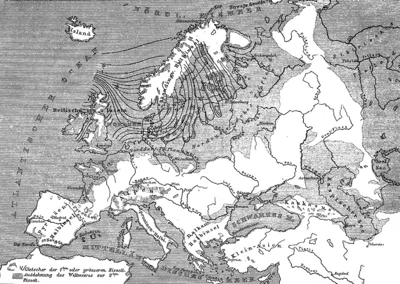
Topographical map of Europe during the last and penultimate ice age, glaciation, geology, geological history, extent of the seas, Scandinavia, Alps, Northern Europe, Baltic Sea, North Sea, historical illustration 1880
Credit line
Photo12/ImageBROKER/Wolfgang Diederich
Reference
BRK26I92_331
Model release
No
Property release
No
License type
Rights managed
Available size
74.4Mb (24.8Mb) / 20.2in x 14.3in / 6053 x 4298 (300dpi)