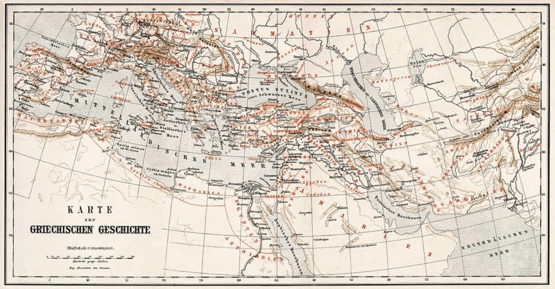
Historical map of ancient Greece
Caption

Historical map of ancient Greece

Date

May 28, 2017

Credit line

Photo12/ImageBROKER/Heinz-Dieter Falkenstein

Reference

BRK26H84_500

Model release

NA

Property release

No

License type

Rights managed

Available size

227.5Mb (75.8Mb) / 41.1in x 21.5in / 12318 x 6454 (300dpi)

Keywords

deserted antique city urban geography antiquity history orientation Mediterranean Sea Aegean Sea Greece Europe illustration depiction map information Greek historic culture old town mediterranean cultural Southeast Europe capital city Balkans Southern Europe european person Athens heritage geographic classicistic sea classicism ancient Greece plan ancient travel photography ancient civilization Downtown Historic illustration Historic quarter Mediterranean region Ancient Greece ancient greek Hellenic no one town urban environment ancient world navigation Mediterranean Aegean representation ancient times historical historic center Southeastern Europe Balkan South Europe Human being geographical classical ancient Greek civilization midtown Historical illustration Historic district Mediterranean area No People municipal historic centre Balkan Peninsula People neoclassical city center nobody historic city center city centre uninhabited historic city centre town center empty historic old town Town centre historical old town Inner city old city Inner town old district Old town area antiques cities illustrations depictions maps Altertum cultures old towns persons heritages classicist plans ancient civilizations Historic illustrations Historic quarters historically human Historical illustrations Historic districts old historic town Europe's depicting historical image history image history images Altstadt capital capitals individual individuals representing historic part humans in the centre of

Please log in to download the high resolution file