Caption
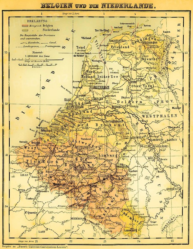
Belgium and the Netherlands, Luxembourg, Benelux countries, Brabant, Flanders, Namur, Geldern, Friesland, Zealand, scale in German miles and kilometers, capital of the provinces, North Sea, West Frisian Islands, Rhine estuary, Westphalia province, railway lines, canal, topography, color map, historical illustration 1877
Date
Apr 26, 2026
Credit line
Photo12/ImageBROKER/Wolfgang Diederich
Reference
BRK26H24_202
Model release
No
Property release
No
License type
Royalty free
Available size
71.7Mb (23.9Mb) / 14.7in x 19.0in / 4408 x 5688 (300dpi)