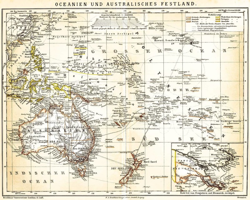
Caption
Map of Oceania and Mainland Australia with special map of Eastern New Guinea and Bismarck Archipelago, Oceania, Australia, grid, scale, possessions of Britain, Germany, France, Netherlands, Portugal, Spain, German Empire, subvented steamer lines, steamship, international telegraph lines, New Zealand, Melanesia, Micronesia, atolls, Fiji Islands, Marshal Archipelago, Hawaii, Chinese Sea, colonies, colonialism, historical illustration 1885
Date
Jun 02, 2026
Credit line
Photo12/ImageBROKER/Wolfgang Diederich
Reference
BRK26H21_255
Model release
No
Property release
No
License type
Rights managed
Available size
88.9Mb (29.6Mb) / 20.8in x 16.6in / 6232 x 4984 (300dpi)