18 résultats pour : late 18th century map
- Page
-
- sur
- 1
Connectez-vous pour plus de résultats
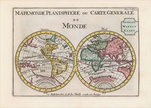
UMG23A62_334
World map dating from the late 17th or early 18th ...
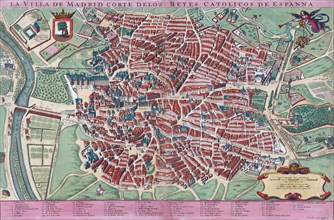
UMG23A61_201
Anonymous map of Madrid dating from late 17th or e...

UMG22A65_444
Atlas on Frontispiece
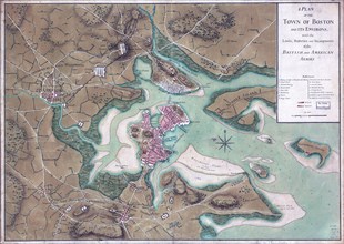
UMG22A25_068
Vintage Maps / Antique Maps - A plan of the town o...
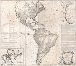
UMG22A24_478
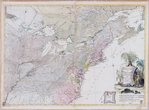
Antique map of North and South America - ca. 1772
UMG22A24_479
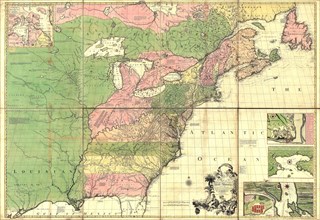
Vintage Maps / Antique Maps - A map of the British...
UMG22A30_048
Vintage Maps / Antique Maps - Theatrum belli in Am...
UMG22A29_294
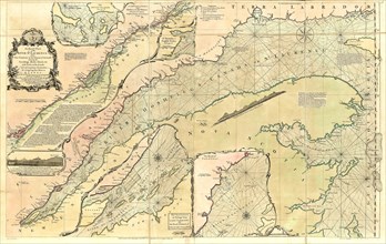
Vintage Maps / Antique Maps - An exact chart of th...
UMG22A30_049
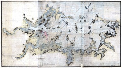
Vintage Maps / Antique Maps - Boston Harbour, with...
UMG22A30_050
Vintage Maps / Antique Maps - A trader's map of th...
UMG22A30_051
Vintage Maps / Antique Maps - A plan of the island...
UMG22A30_103
Vintage Maps / Antique Maps - map of the city of Q...
UMG22A29_485
Vintage Maps / Antique Maps - Exact plan of Genera...
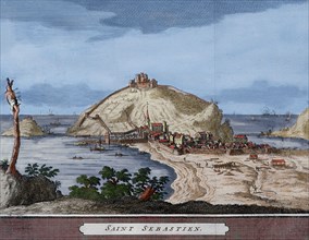
UMG20B39_232
Spain. San Sebastian or Donostia. Santa Clara Isla...
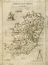
UMG20B36_187
Hybernia Nunc Irlant. Ireland. Map.
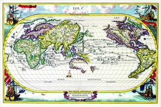
UMG20A04_104
Navigationes Precipae Europorum ad Exteras Natione...
UMG20A04_107
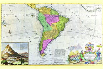
Antique Map of South America 1715
UMG20A03_417