Sujet
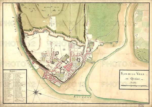
Vintage Maps / Antique Maps - map of the city of Québec ca. 1750?
Légende
Vintage Maps / Antique Maps - map of the city of Québec ca. 1750?.
Date
20e siècle
Crédit
Photo12/Universal Images Group/HUM Images
Notre référence
UMG22A30_103
Model release
Non
Property release
Non
Licence
Droits gérés
Format disponible
11.0Mo (1.0Mo) / 19.8cm x 13.9cm / 2341 x 1647 (300dpi)