Sujet
Vintage Maps / Antique Maps - A map of the British and French dominions in North America, with the roads, distances, limits, and extent of the settlements ca. 1755-1761
Légende
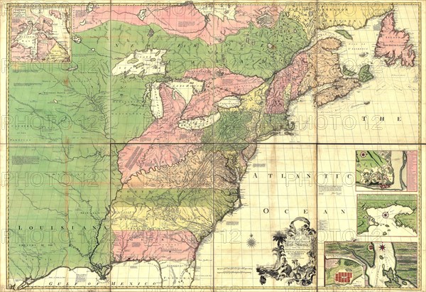
Vintage Maps / Antique Maps - A map of the British and French dominions in North America, with the roads, distances, limits, and extent of the settlements.
Crédit
Photo12/Universal Images Group/HUM Images
Notre référence
UMG22A24_479
Model release
Non
Property release
Non
Licence
Droits gérés
Format disponible
67.7Mo (9.2Mo) / 49.7cm x 34.1cm / 5873 x 4031 (300dpi)