Sujet
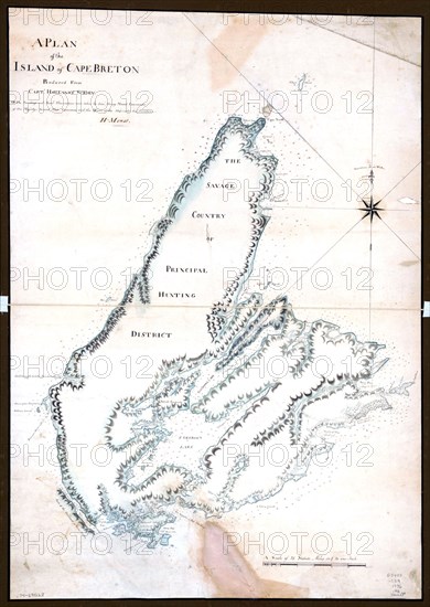
Vintage Maps / Antique Maps - A plan of the island of Cape Breton ca. 1776
Légende
Vintage Maps / Antique Maps - A plan of the island of Cape Breton ca. 1776.
Crédit
Photo12/Universal Images Group/HUM Images
Notre référence
UMG22A30_051
Model release
Non
Property release
Non
Licence
Droits gérés
Format disponible
14.4Mo (835.4Ko) / 16.0cm x 22.5cm / 1890 x 2661 (300dpi)