2171 résultats pour : cartography
- Page
-
- sur
- 22
Connectez-vous pour plus de résultats
UMG23A66_397
Carte géographique du 17e siècle
UMG23A66_398
Carte géographique du 16e siècle
UMG23A66_399
Carte géographique du 16e siècle
UMG23A66_391
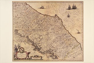
Carte géographique du 17e siècle
UMG23A66_393
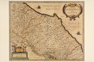
Carte géographique du 17e siècle

UMG23A66_392
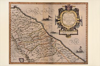
Carte géographique du 17e siècle
UMG23A66_394
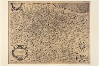
Carte géographique du 17e siècle
UMG23A66_395
Carte géographique du 17e siècle
UMG23A66_396
Carte géographique du 17e siècle
UMG23A66_387
Carte géographique du 19e siècle
UMG23A66_388
Carte géographique du 17e siècle
UMG23A66_389
Carte géographique du 17e siècle
UMG23A66_390
Carte géographique du 17e siècle
UMG23A66_384
Carte géographique du 18e siècle
UMG23A66_385
Carte géographique du 18e siècle
UMG23A66_386
Carte géographique du 19e siècle
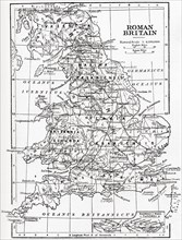
UMG23A58_459
Map of Roman Britain showing the area of the islan...
UMG23A58_421
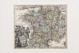
Map of France.
UMG23A60_343
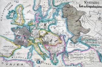
17th century map of Russia and surrounding countri...
UMG23A58_376
Map of France by the Treaty of Bretigny.
UMG23A58_420
Map of France in 1429.
UMG23A62_060
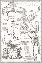
Imagined situation of the Garden of Eden.
UMG23A61_201
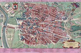
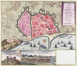
Anonymous map of Madrid dating from late 17th or e...
UMG23A60_090
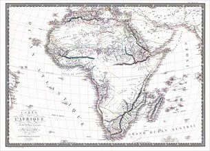
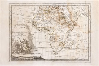
Map of the African continent by the geographer A.H...
UMG23A58_373
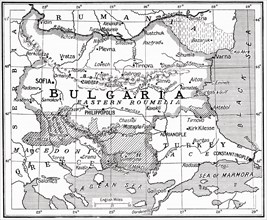
Map of Bulgaria at the outbreak of WWI.
UMG23A62_099
The true and exact Plan of all the Old and New For...

UMG23A61_117
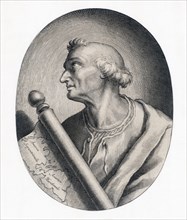
Amerigo Vespucci.
UMG23A61_155
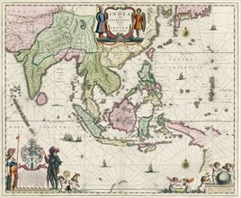
Map of South-East Asia.
UMG23A62_069
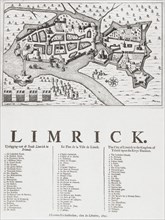
Map of Limerick.
UMG23A60_344
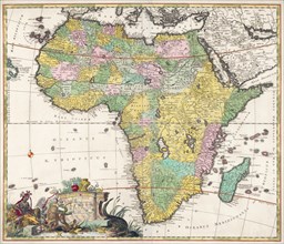
Map of Africa dating from the late 17th century.

UMG23A62_481
Nathaniel Nye.
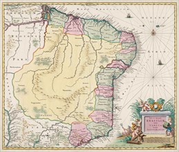
UMG23A61_133
Map of Brazil.
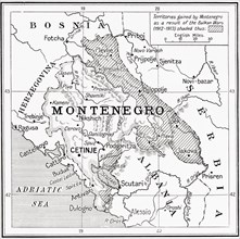
UMG23A58_371
Map of Montenegro at the outbreak of WWI.
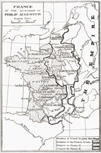
UMG23A58_414
Map of France at the accession of Philip II, aka P...
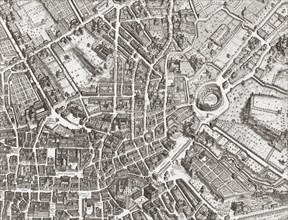
UMG23A61_153
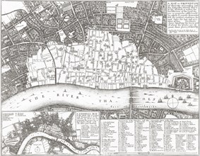
Map of the centre of Rome.
UMG23A58_312
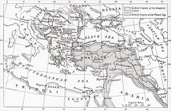
Map of Turkey at the outbreak of WWI.
UMG23A58_351
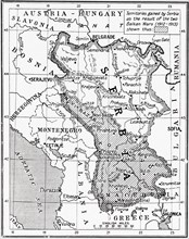
Map of Serbia at the start of WWI.
UMG23A62_474
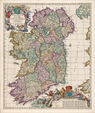
Map of Ireland.
UMG23A58_328
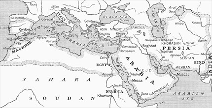
Map of the Umayyad Caliphate at its height around ...
UMG23A63_006
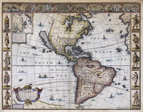
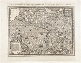
Map of America.
UMG23A58_429
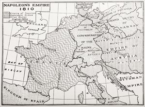
Map showing Napoleon's Empire, France.
UMG23A58_437
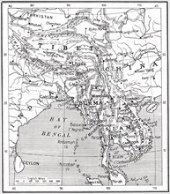
Map of the Indo-Chinese nations as at 1915.
UMG23A61_164
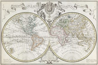
World Map.
UMG23A62_478
Map of North and South America.
UMG23A58_290
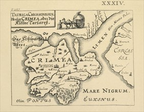
Map of Crimea published in Kiev.
UMG23A61_124
Amerigo Vespucci.
UMG23A62_062
Map showing the extent of the damage caused by the...
UMG23A65_099
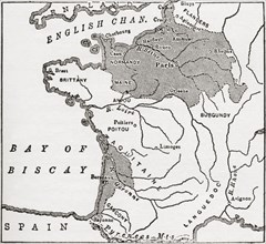
Map showing French territory held by the English w...
UMG23A65_098
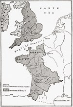
Map Showing The English Dominions In France At The...
UMG23A65_097
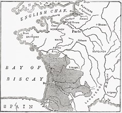
Map showing the French dominions of Henry II.
UMG23A64_269
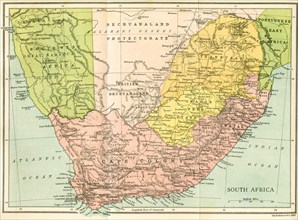
Map Of South Africa Since 1815.
UMG23A65_096
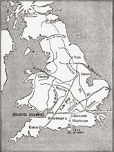
Map showing the Roman roads in Britain.
UMG23A44_360
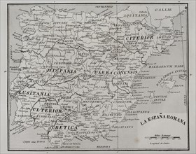
Map of Roman Hispania.
UMG23A44_402
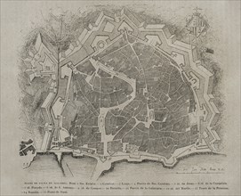
Palma de Mallorca map.

UMG23A44_348
Map of the city of Tarragona.
UMG23A44_375
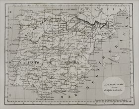
Map of Moorish Spain during the Caliphate of Cordo...
UMG23A16_379
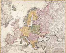
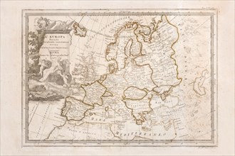
Europe map, 1793
UMG23A00_243
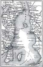
Map of Copenhagen.
UMG23A00_465
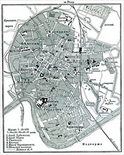
Plan of Krakow.
UMG23A02_037
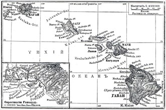
Map of Archipelago Hawaii.
UMG23A02_072
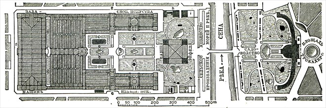
Paris Exhibition.
UMG23A02_073
Vienna Exhibition.
UMG23A02_038
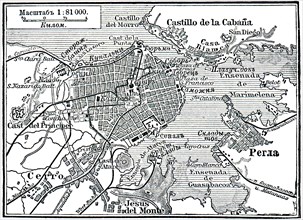
Plan of La Habana.
UMG23A02_039
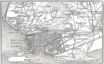
Plan of Le Havre.
UMG23A02_068
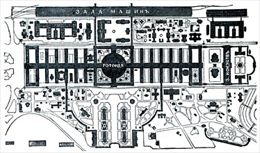
Berlin Exhibition.
UMG23A02_069
Paris Exhibition.
UMG23A02_070
Paris Exhibition.
UMG23A02_071
Paris Exhibition.
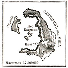
UMG23A02_064
Map of Santorini islans before erasure of 1880.
UMG22A75_153
italy, pavullo nel frignano, aeronautics, 1930-194...
UMG22A74_174
le premier atelier de cartes itinérantes mis en pl...
UMG22A86_424
cartographe, graveur, 1954
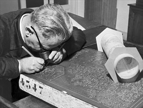
UMG22A87_064
bureau de cartographie, exécution d'un moulage à p...

UMG22A86_426
bureau cartographique, dessinateur, 1954

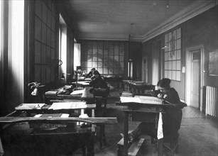
UMG22A76_036
cartographic office, 1954

UMG22A86_425
bureau cartographique, lithographie, conservation ...
UMG22A91_440
Florence. Praetorian Tablet. Military Geographic I...
UMG22A70_458
Cassini Giovanni Maria. Engraving of 1788. Map of ...
UMG22A70_457
Matthaus Seutter. 17th Century Engraving. Gaul Map...
UMG22A70_459
Cassini Giovanni Maria. Engraving of 1788. Map of ...
UMG22A54_081
Illustration
UMG22A51_179
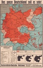
Das ganze Deutschland soll es sein!
UMG22A24_363
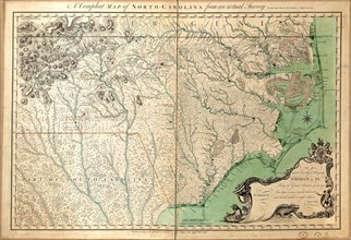
Vintage Maps / Antique Maps - A compleat map of No...
UMG22A29_400
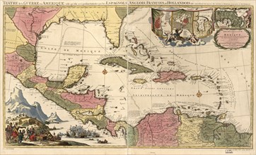
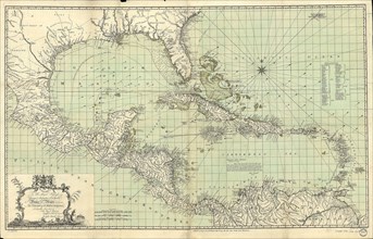
Vintage Maps / Antique Maps - Mexico, Cuba, Caribb...
UMG22A32_376
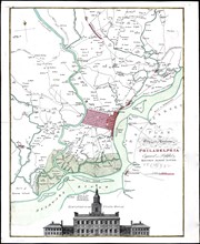
Vintage Maps / Antique Maps - Map of the city of P...
UMG22A24_353
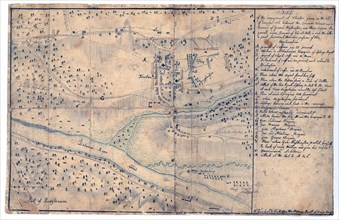
Vintage Maps / Antique Maps - Sketch of the engage...
UMG22A26_052
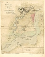
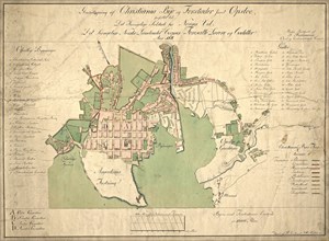
Vintage Maps / Antique Maps - A survey of the city...
UMG22A30_052
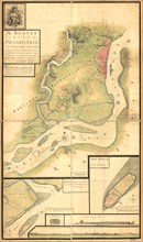
Vintage Maps / Antique Maps - A map of the city an...
UMG22A30_053
Vintage Maps / Antique Maps - To His Royal Highnes...
UMG22A30_104
Vintage Maps / Antique Maps - ca. 1759 maps of var...

UMG22A05_426
Antique map
UMG22A04_187
Reichborns kart over Christiania
UMG22A03_495
Geelkercks kart over Christiania
UMG22A03_072
Linschotens kart over Vardø - Cartographer Jan Huy...
UMG22A03_311
Cornelis De Jodes verdenskart
UMG21A22_217
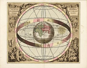
Cellarius' Scenographia Systematis Mundani Ptolema...
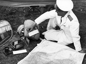
UMG21A21_004
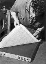
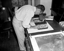
A worker using a planimetor, which measures the ex...
UMG21A22_218
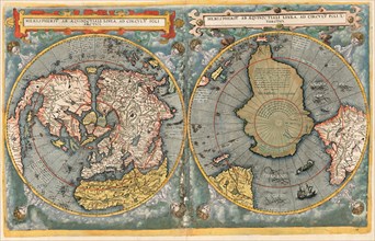
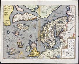
Abraham Ortelius nordenkart, 1601 - Map of Norther...
UMG21A21_003
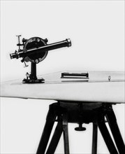
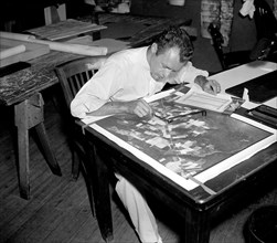
A worker is shown making a stereoscopic examinatio...
UMG21A22_215
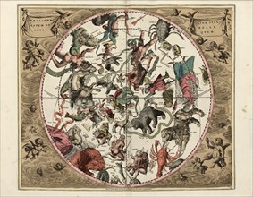
Cellarius' Hæmisphærium Stellatum Boreale Antiqvum...
- Page
-
- sur
- 22