Sujet
Vintage Maps / Antique Maps - Mexico, Cuba, Caribbean Islands Map ca. 1757
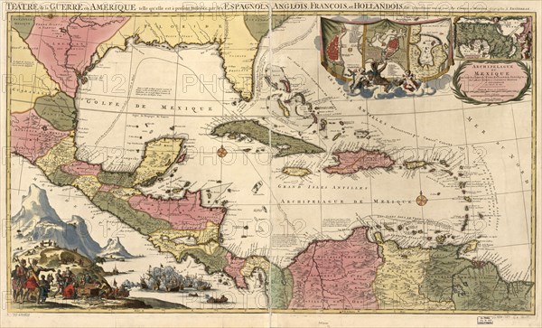
Légende
Vintage Maps / Antique Maps - Mexico, Cuba, Caribbean Islands Map ca. 1757.
Date
1970
Crédit
Photo12/Universal Images Group/HUM Images
Notre référence
UMG22A29_400
Model release
Non
Property release
Non
Licence
Droits gérés
Format disponible
28.1Mo (3.1Mo) / 34.1cm x 20.7cm / 4027 x 2443 (300dpi)