Sujet
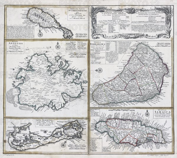
Vintage Maps / Antique Maps - ca. 1759 maps of various islands in the Caribbean
Légende
Vintage Maps / Antique Maps - Barbados, Jamacia, Bermuda, Antiqua, St. Kitts and other islands ca. 1759.
Crédit
Photo12/Universal Images Group/HUM Images
Notre référence
UMG22A30_104
Model release
Non
Property release
Non
Licence
Droits gérés
Format disponible
13.3Mo (1.8Mo) / 19.3cm x 17.2cm / 2282 x 2036 (300dpi)