196 résultats pour : historical cartography
- Page
-
- sur
- 2
Connectez-vous pour plus de résultats
UMG26A02_132
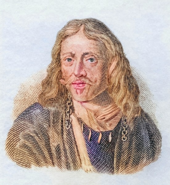
Johannes Hevelius.
UMG26A02_129
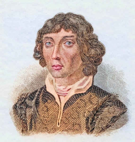
Nicolaus Copernicus.
UMG25A06_183
This geographical and historical outline map shows...
UMG25A06_181
This geogrpahical and historical outline maps show...
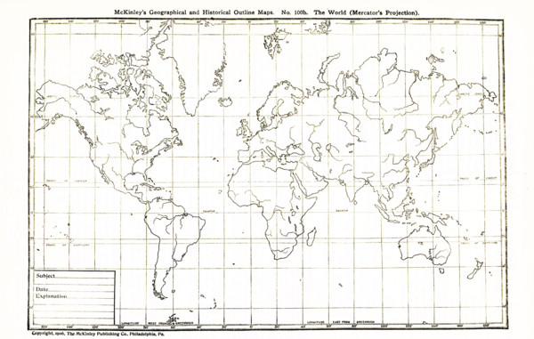
UMG25A06_180
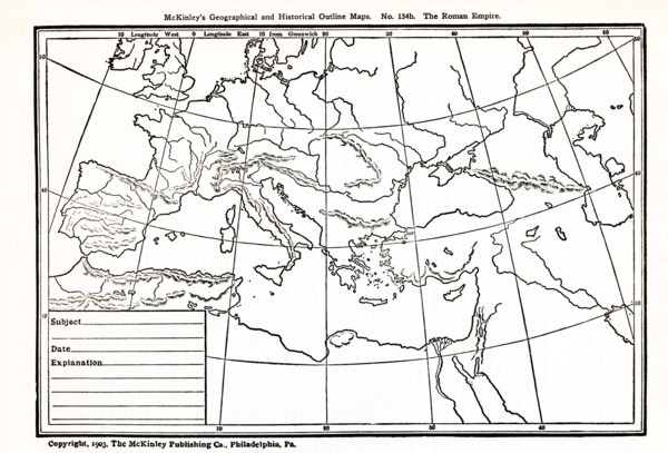
This geographical and historical outline map shows...
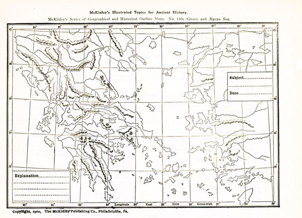
UMG25A06_182
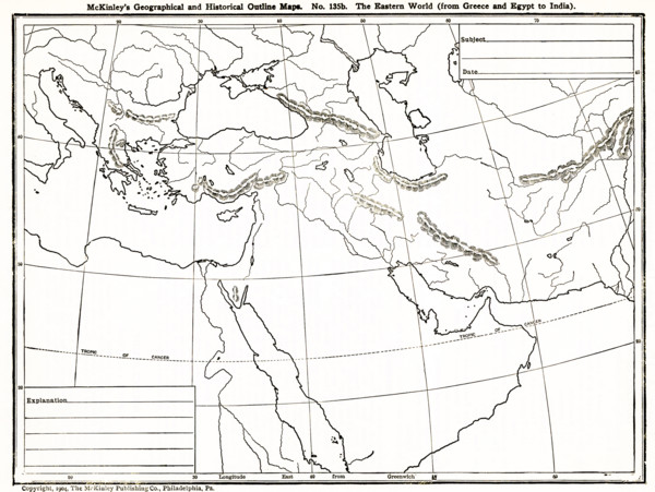
This geographical and historical outline map focus...
UMG24A16_123
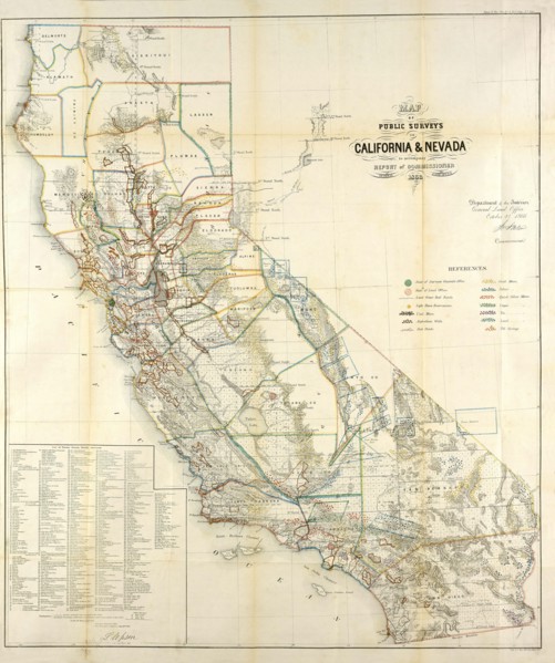
California Resources Map In 1866
UMG23A66_397
Carte géographique du 17e siècle
UMG23A66_398
Carte géographique du 16e siècle
UMG23A66_399
Carte géographique du 16e siècle
UMG23A66_391
Carte géographique du 17e siècle
UMG23A66_393
Carte géographique du 17e siècle
UMG23A66_392
Carte géographique du 17e siècle
UMG23A66_394
Carte géographique du 17e siècle
UMG23A66_395
Carte géographique du 17e siècle
UMG23A66_396
Carte géographique du 17e siècle
UMG23A66_387
Carte géographique du 19e siècle
UMG23A66_388
Carte géographique du 17e siècle
UMG23A66_389
Carte géographique du 17e siècle
UMG23A66_390
Carte géographique du 17e siècle
UMG23A66_384
Carte géographique du 18e siècle
UMG23A66_385
Carte géographique du 18e siècle
UMG23A66_386
Carte géographique du 19e siècle
UMG23A58_459
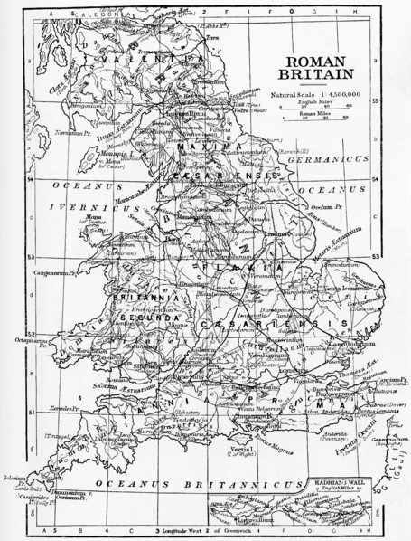
Map of Roman Britain showing the area of the islan...
UMG23A58_421
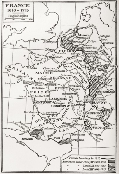
Map of France.
UMG23A60_343
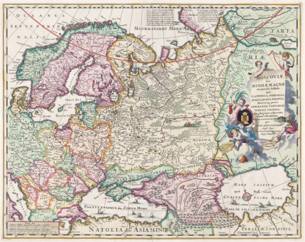
17th century map of Russia and surrounding countri...
UMG23A58_376
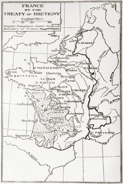
Map of France by the Treaty of Bretigny.
UMG23A62_060
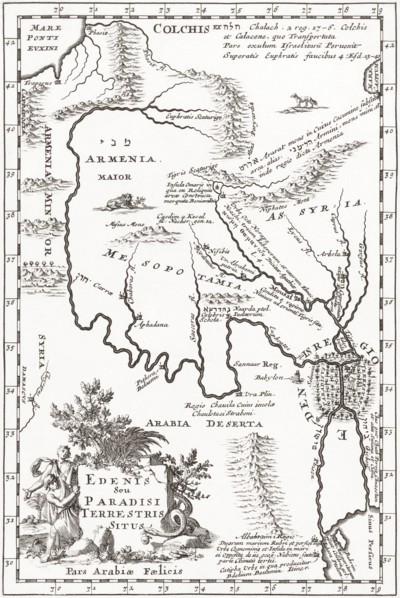
Imagined situation of the Garden of Eden.
UMG23A58_420
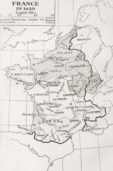
Map of France in 1429.
UMG23A61_201
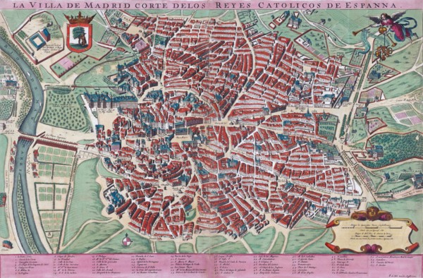
Anonymous map of Madrid dating from late 17th or e...
UMG23A60_090
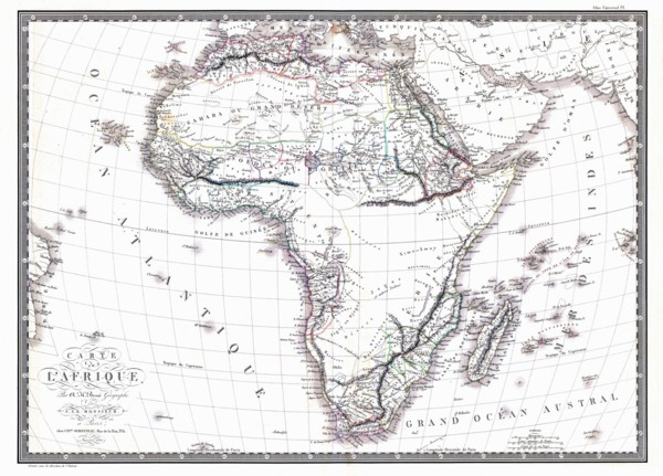
Map of the African continent by the geographer A.H...
UMG23A58_373
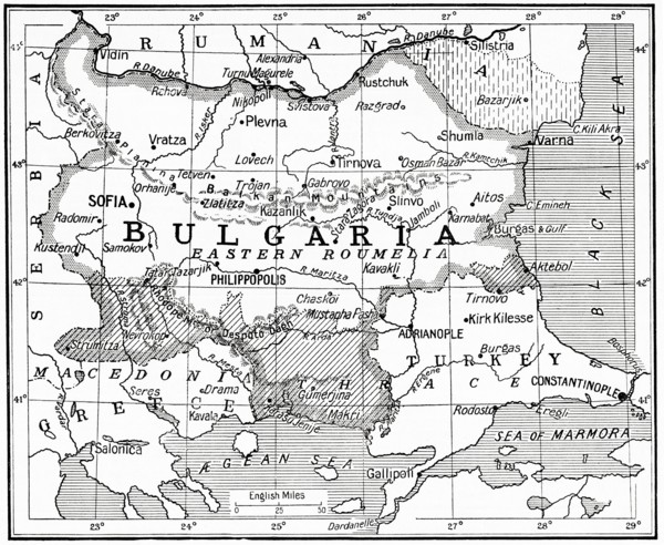
Map of Bulgaria at the outbreak of WWI.
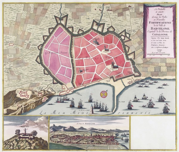
UMG23A62_099
The true and exact Plan of all the Old and New For...
UMG23A61_117
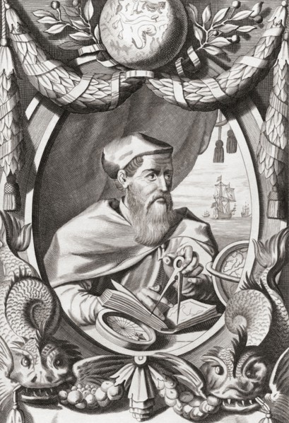
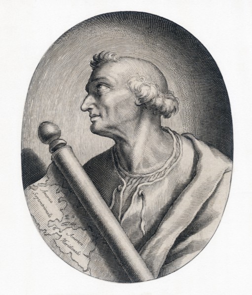
Amerigo Vespucci.
UMG23A61_155
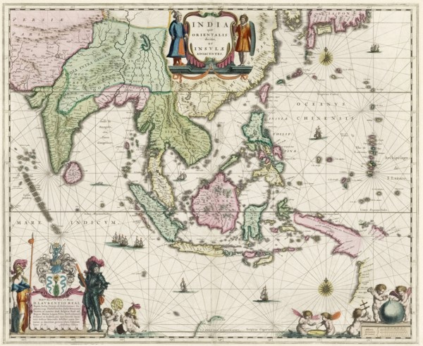
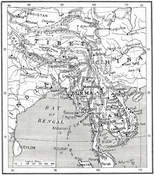
Map of South-East Asia.
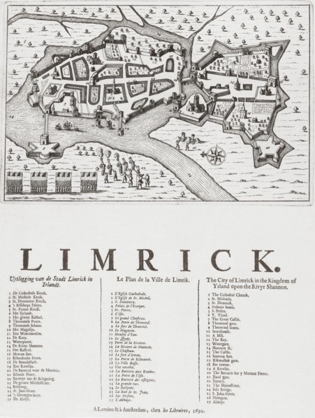
UMG23A62_069
Map of Limerick.
UMG23A60_344
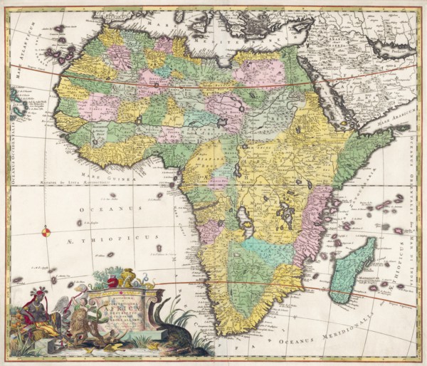
Map of Africa dating from the late 17th century.
UMG23A62_481
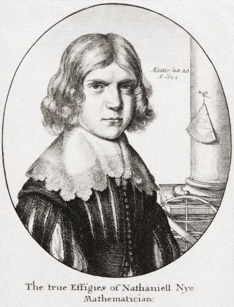
Nathaniel Nye.
UMG23A61_133
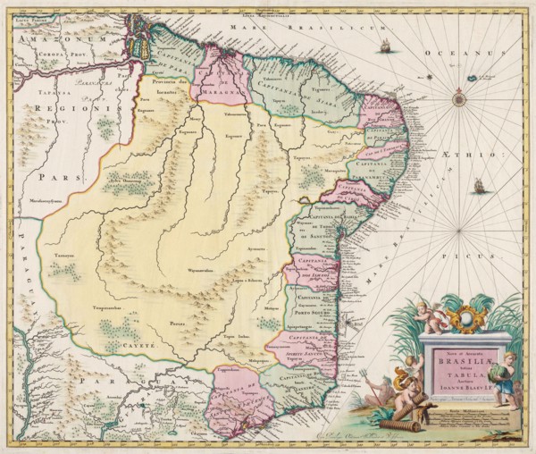
Map of Brazil.
UMG23A58_371
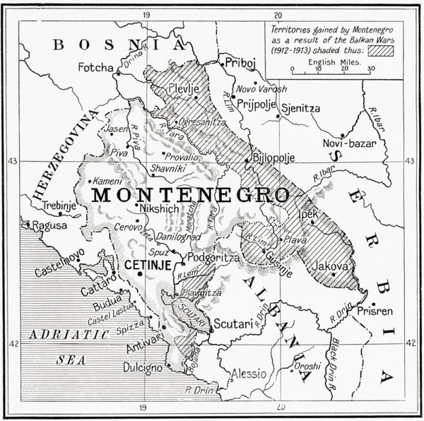
Map of Montenegro at the outbreak of WWI.
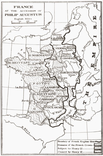
UMG23A58_414
Map of France at the accession of Philip II, aka P...
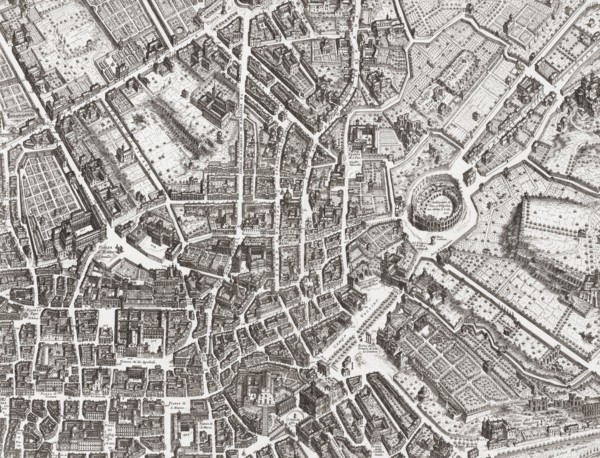
UMG23A61_153
Map of the centre of Rome.
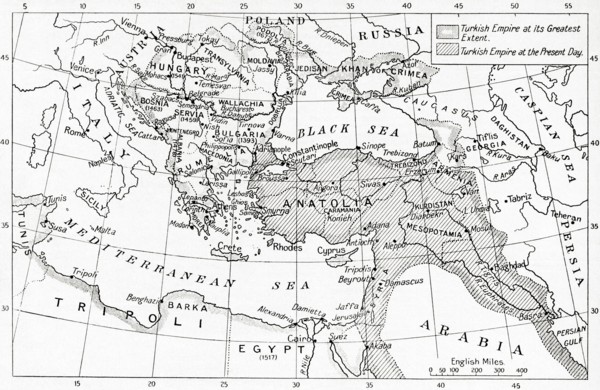
UMG23A58_312
Map of Turkey at the outbreak of WWI.
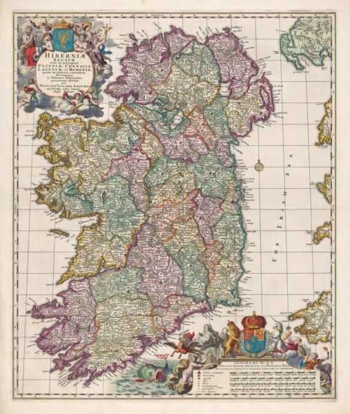
UMG23A62_474
Map of Ireland.
UMG23A58_351
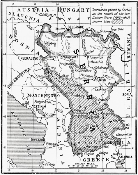
Map of Serbia at the start of WWI.
UMG23A63_006
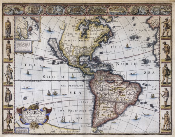
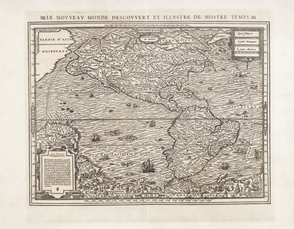
Map of America.
UMG23A58_328
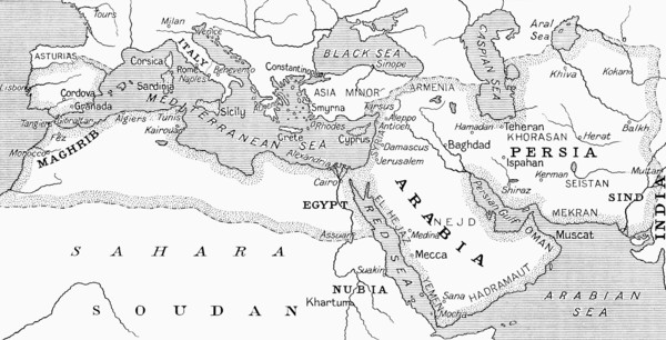
Map of the Umayyad Caliphate at its height around ...
UMG23A58_429
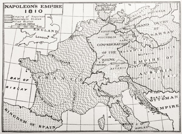
Map showing Napoleon's Empire, France.
UMG23A58_437
Map of the Indo-Chinese nations as at 1915.
UMG23A61_164
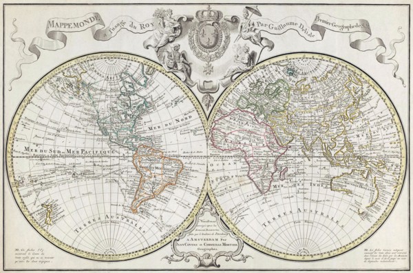
World Map.
UMG23A62_478
Map of North and South America.
UMG23A58_290
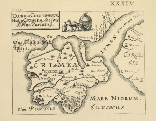
Map of Crimea published in Kiev.
UMG23A61_124
Amerigo Vespucci.
UMG23A62_062
Map showing the extent of the damage caused by the...
UMG23A16_379
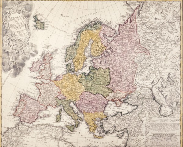
Europe map, 1793
UMG23A00_243
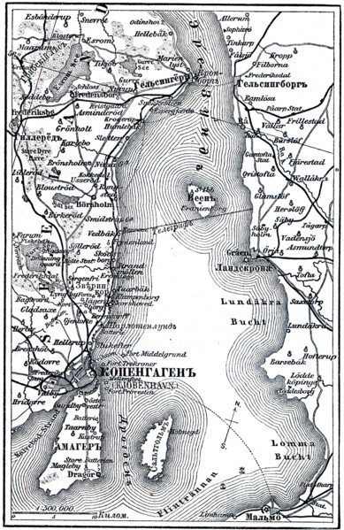
Map of Copenhagen.
UMG23A02_037
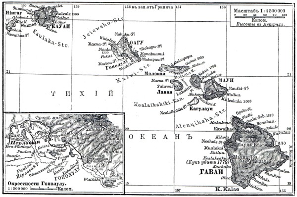
Map of Archipelago Hawaii.
UMG23A02_072
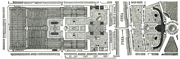
Paris Exhibition.
UMG23A02_073
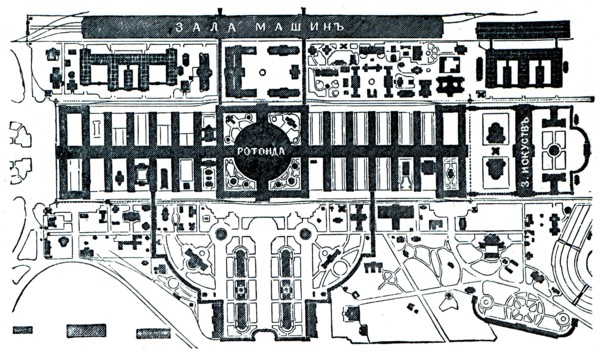
Vienna Exhibition.
UMG23A02_038
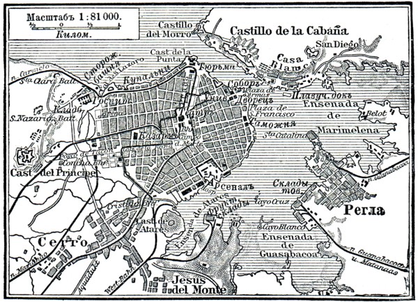
Plan of La Habana.
UMG23A02_039
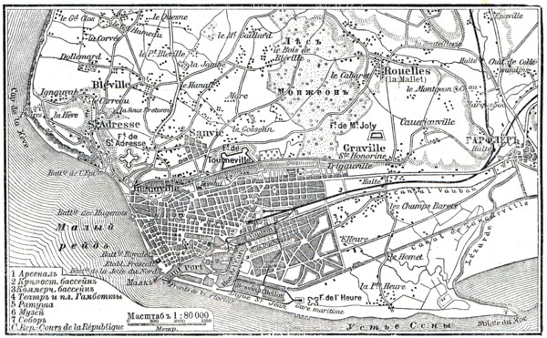
Plan of Le Havre.
UMG23A02_068
Berlin Exhibition.
UMG23A02_069
Paris Exhibition.
UMG23A02_070
Paris Exhibition.
UMG23A02_071
Paris Exhibition.
UMG22A75_153
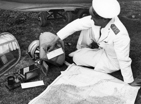
italy, pavullo nel frignano, aeronautics, 1930-194...
UMG22A74_174
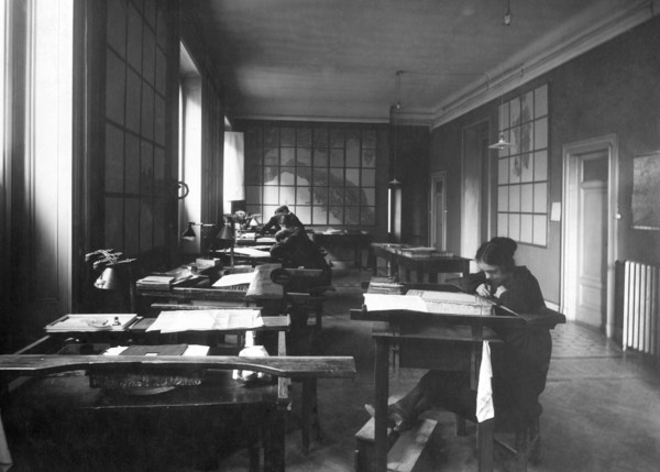
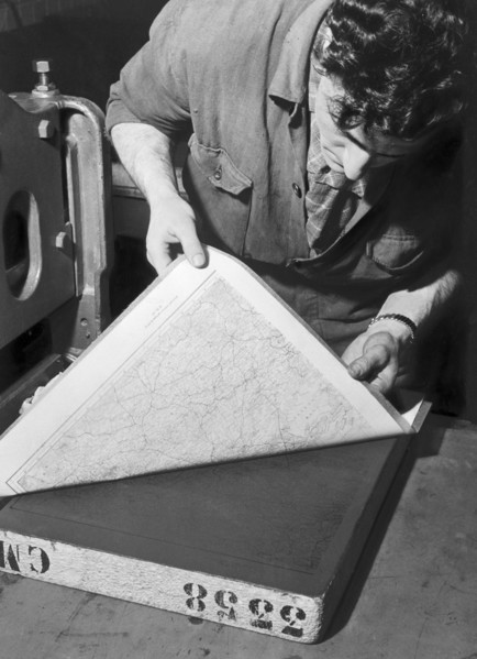
le premier atelier de cartes itinérantes mis en pl...
UMG22A86_424
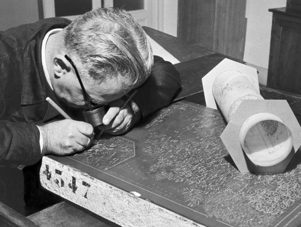
cartographe, graveur, 1954
UMG22A87_064
bureau de cartographie, exécution d'un moulage à p...
UMG22A86_426
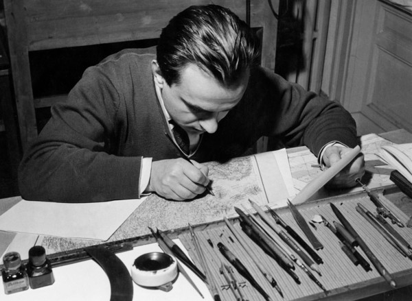
bureau cartographique, dessinateur, 1954
UMG22A76_036
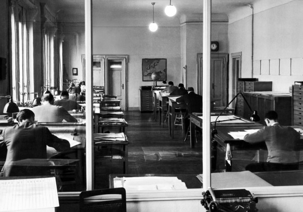
cartographic office, 1954
UMG22A86_425
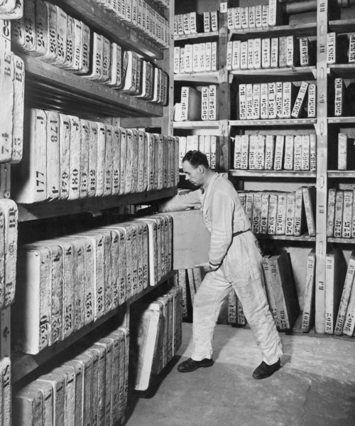
bureau cartographique, lithographie, conservation ...
UMG22A91_440
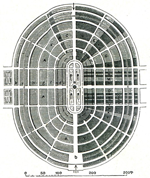
Florence. Praetorian Tablet. Military Geographic I...

UMG22A54_081
Illustration
UMG22A24_363
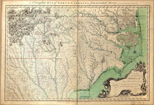
Vintage Maps / Antique Maps - A compleat map of No...
UMG22A29_400
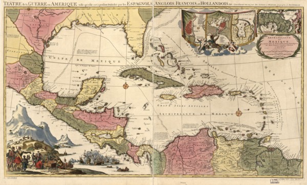
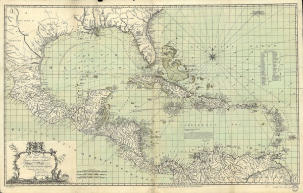
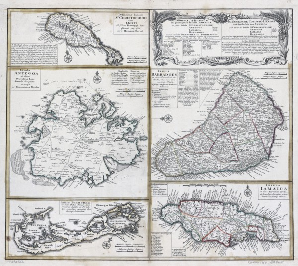
Vintage Maps / Antique Maps - Mexico, Cuba, Caribb...
UMG22A32_376
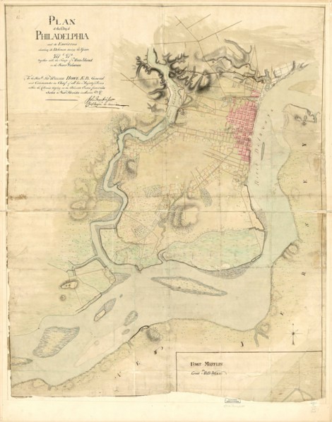
Vintage Maps / Antique Maps - Map of the city of P...
UMG22A24_353
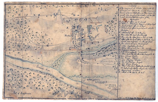
Vintage Maps / Antique Maps - Sketch of the engage...
UMG22A26_052
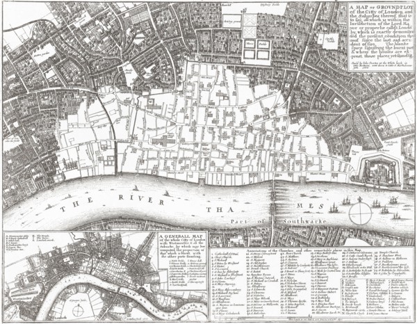
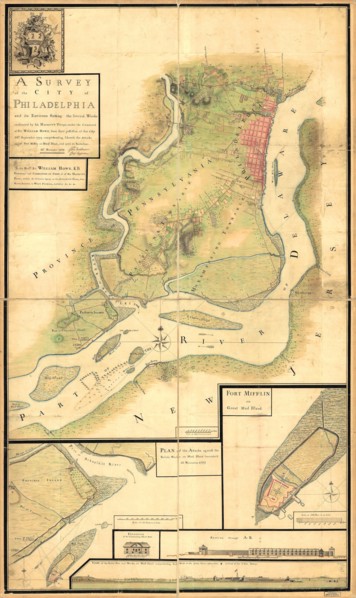
Vintage Maps / Antique Maps - A survey of the city...
UMG22A30_052
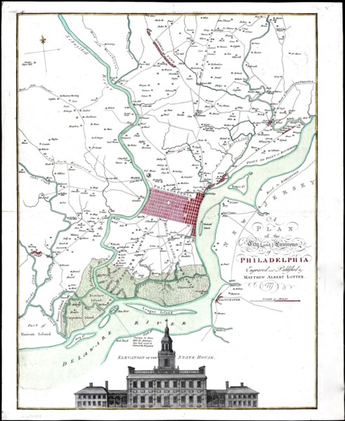
Vintage Maps / Antique Maps - A map of the city an...
UMG22A30_053
Vintage Maps / Antique Maps - To His Royal Highnes...
UMG22A30_104
Vintage Maps / Antique Maps - ca. 1759 maps of var...
UMG22A05_426
Antique map
UMG22A04_187
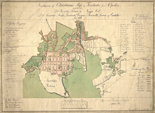
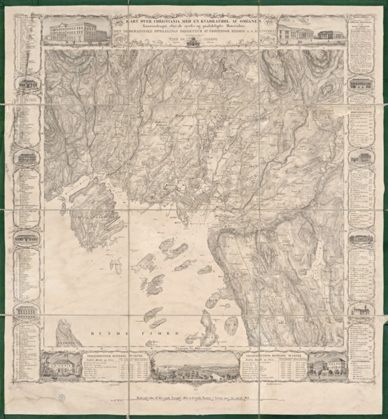
Reichborns kart over Christiania
UMG22A03_495
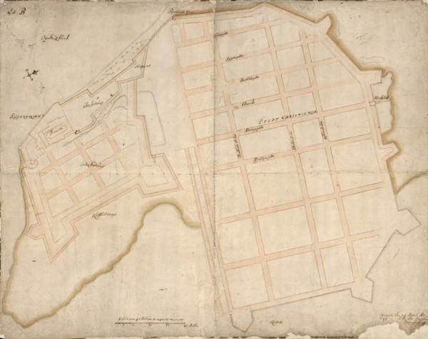
Geelkercks kart over Christiania
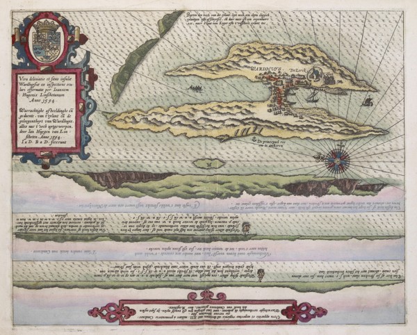
UMG22A03_072
Linschotens kart over Vardø - Cartographer Jan Huy...
UMG22A03_311
Cornelis De Jodes verdenskart
UMG21A22_217
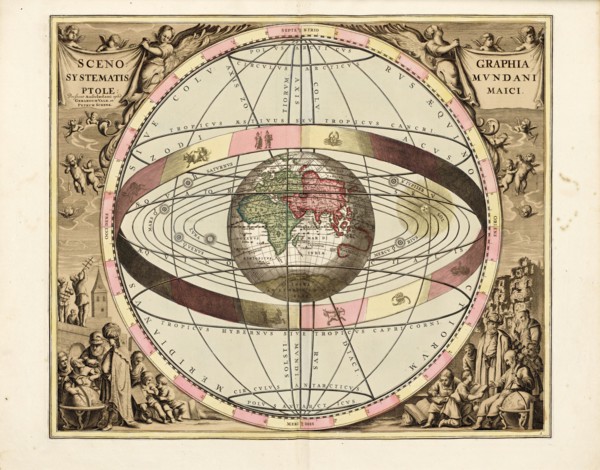
Cellarius' Scenographia Systematis Mundani Ptolema...
UMG21A21_004
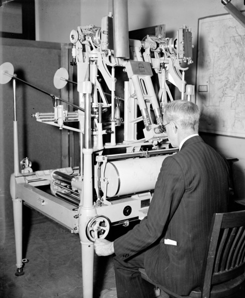
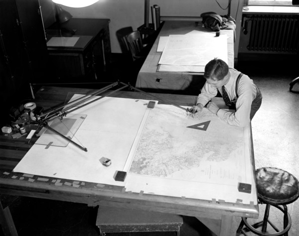
A worker using a planimetor, which measures the ex...
UMG21A22_218
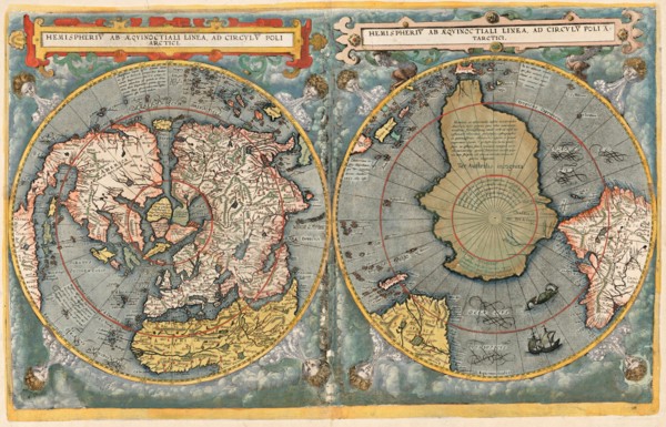
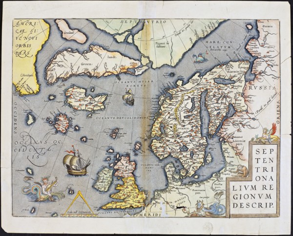
Abraham Ortelius nordenkart, 1601 - Map of Norther...
UMG21A21_003
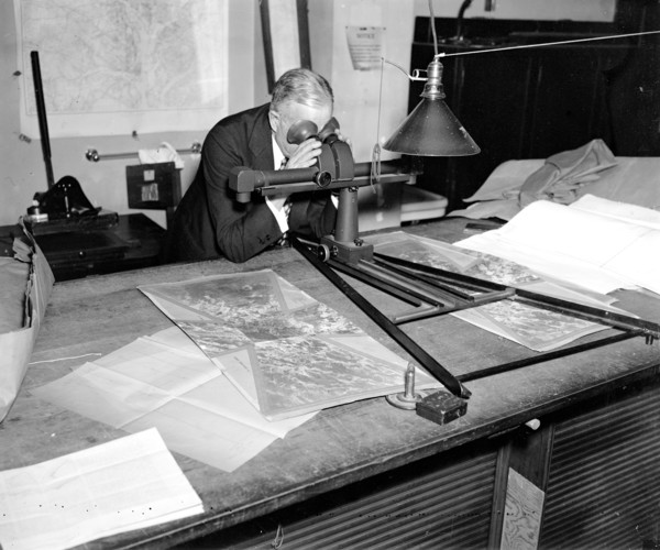
A worker is shown making a stereoscopic examinatio...
UMG21A22_215
Cellarius' Hæmisphærium Stellatum Boreale Antiqvum...
UMG21A21_002
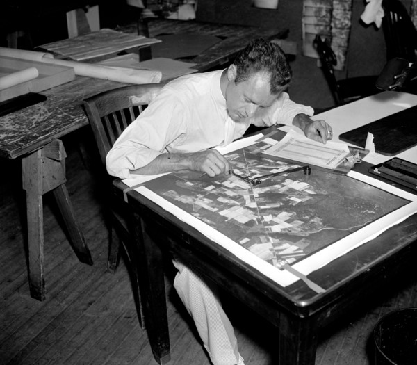
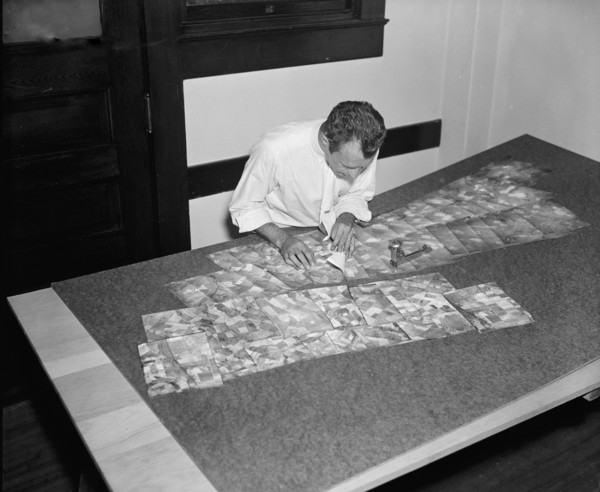
Map maker fitting together photos for the final ma...
UMG21A21_279
Geological Survey. Washington, D.C., March 13. Alb...
UMG21A22_216
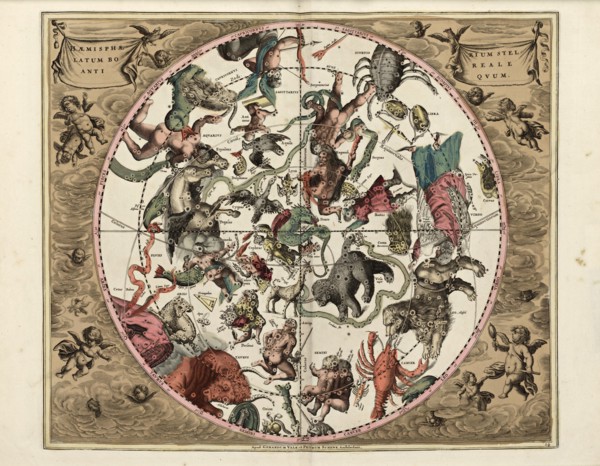
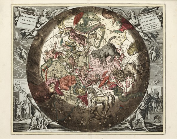
Cellarius' Hæmisphærium Stellatvm Boreale cvm Subi...
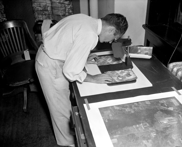
UMG21A21_001
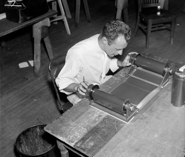
A worker is shown inspecting a roll of film for fl...
UMG21A21_280
Geological Survey, Dept. Interior. Washington, D.C...
UMG21A22_213
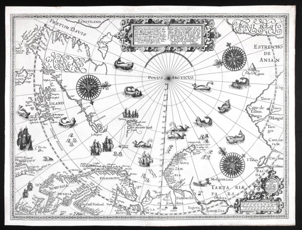
Barentskartet, 1598.
UMG21A22_214
Cartographer Vibe og Irgens - Vibe og Irgens kart ...
UMG21A22_026
Map-making Division of Coast & Geodetic Survey, De...
- Page
-
- sur
- 2