23 résultats pour : scattered small black map symbols
- Page
-
- sur
- 1
Connectez-vous pour plus de résultats

LZT26B46_013
Map of Friuli, 1617, Eigentlicher Abriss des theil...

LZT26B29_152
Western part of the Marquisate of Baden, situated ...

LZT26B29_166
St Stevenswaert, an island and redoubt in the Meus...

LZT26B29_158
Koblenz, an archiepiscopal city in Germany, Map of...
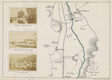
LZT26B07_220
View of a bridge at Nuneham Courtenay, At Nuneham,...
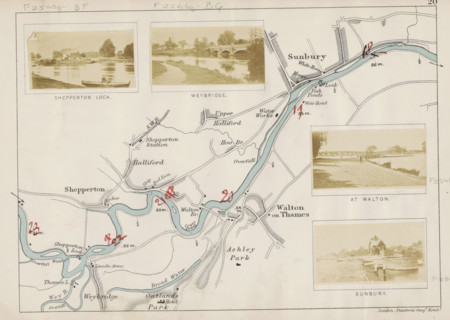
LZT26B07_200
View of a lock in the Thames at Sunbury, Sunbury, ...
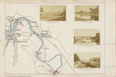
LZT26B07_189
View of the Old Windsor Lock, a lock in the Thames...
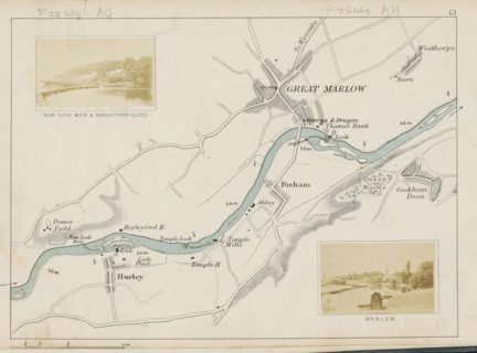
LZT26B07_172
Marlow, View of Marlow and the Thames, photograph,...
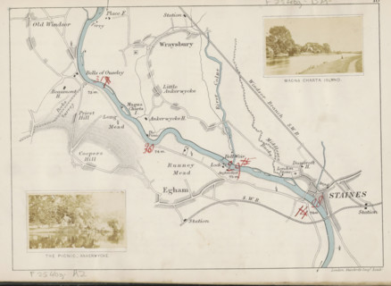
LZT26B07_190
The picnic, Ankerwycke, View of a park on the Tham...
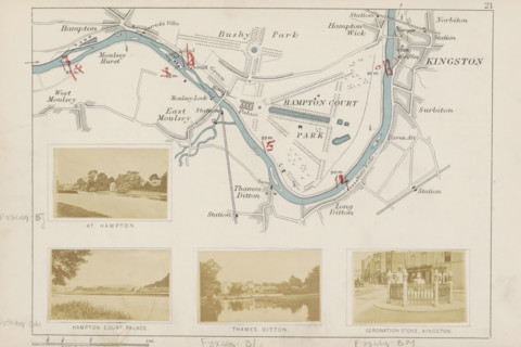
LZT26B07_204
Coronation Stone in Kingston-upon-Thames, Coronati...
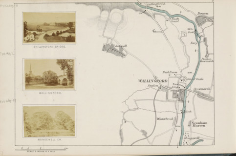
LZT26B07_226
View of presumably a park in Mongewell, Mongewell ...
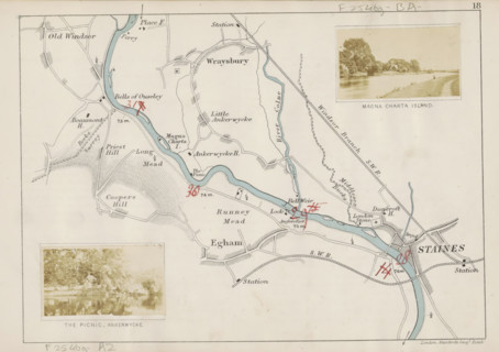
LZT26B07_192
Magna Charta, Island, View of Magna Carta Island a...
LZT26B07_214
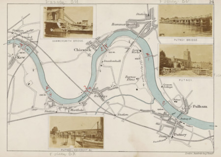
Putney, View of Putney, photograph, page, photogra...
LZT26B07_208
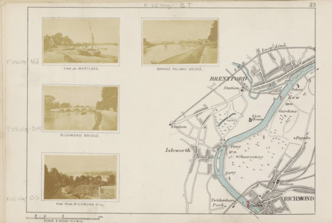
View at Mortlake, View of the Thames with boats on...

LZT26B34_041
Historical map of the Netherlands with the territo...
LZT26B07_188
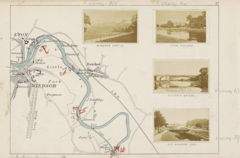
View of the Victoria Bridge at Datchet, Victoria B...

LZT26A75_142
Map of the Scandinavian countries in the modern er...
LZT26A06_301
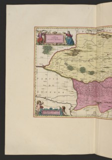
Le comte de Perigort; Schenck, Pieter 1660-1711 pu...
LZT26A06_302
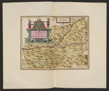
Le Diocese de Sarlat = Diocesis Sarlatensis; Schen...
LZT26A06_311
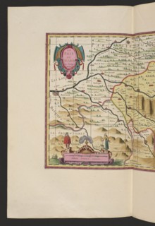
Le pays de Béarn; Pieter Schenck 1660–1711 and Ger...
LZT26A06_305
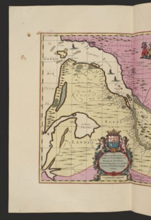
La Riviere de la Garomne et la Dordogne et la pays...
LZT26A06_308
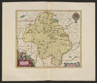
Quercy olim Cadurcium; Gerard Valck 1651/1652–1726...
LZT26A06_299