156 résultats pour : survey
- Page
-
- sur
- 2
Connectez-vous pour plus de résultats
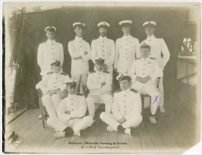
UMG24A02_028
Group photograph of Officers from the Marine Surve...
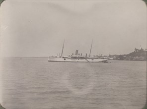
UMG24A02_182
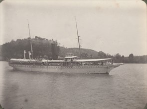
RIMS Mayo
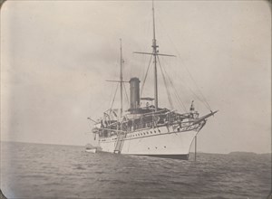
UMG24A02_171
RIMS Investigator
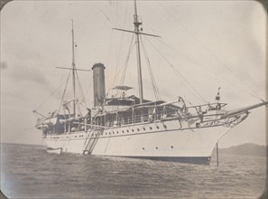
UMG24A02_172
RIMS Investigator
UMG24A02_181
RIMS Investigator
UMG23A57_434
Field Portrait Marshal Baron Von Hess, Generalissi...
UMG23A05_202
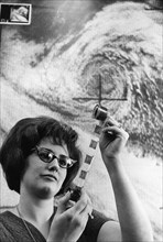
An image of a storm on the irish sea in the suitla...
UMG22A69_243
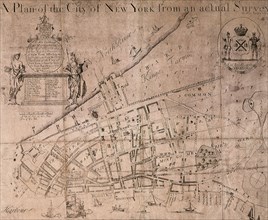
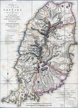
The Lyne-Bradford Plan.

UMG22A54_183
Géographie
UMG22A53_499
Géographie
UMG22A53_324
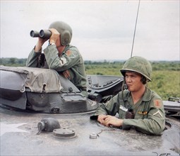
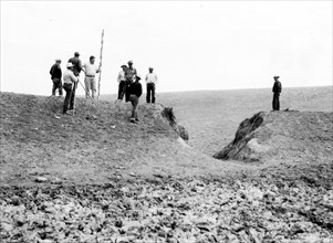
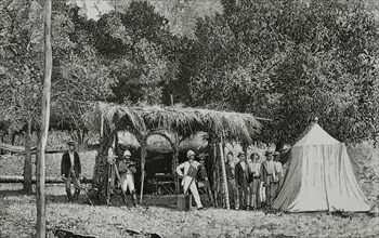
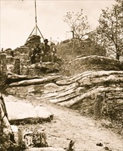
Army troops survey a forward area from the top of ...
UMG22A49_206
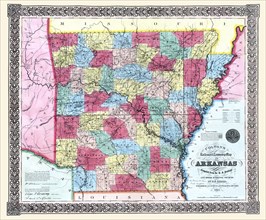
Colton's railroad & township map of Arkansas
UMG22A39_354
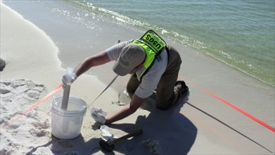
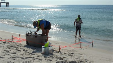
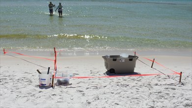
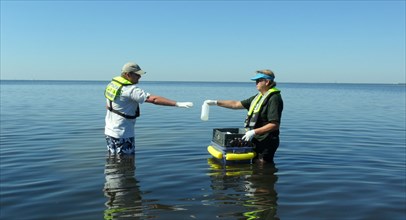
USGS Sediment Sampling at Henderson Beach State Pa...
UMG22A39_347
USGS Setting up at Sampling at Orange Beach, Alaba...
UMG22A39_355
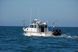
Workers in action on the R/V Rafael ca. 2010
UMG22A39_395
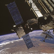
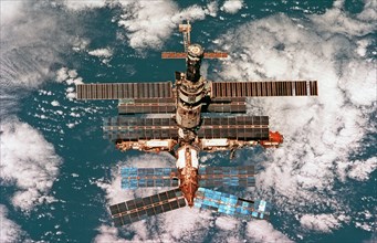
Survey views of the Mir space station taken during...
UMG22A39_408
Survey views of the Mir space station
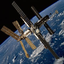
UMG22A39_442
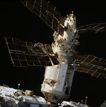
Survey views of the Mir space station taken after ...
UMG22A39_353
USGS Sampling Site at Henderson Beach State Park c...
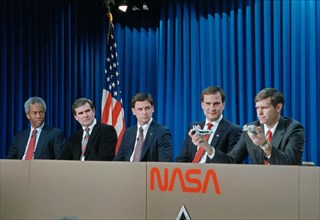
UMG22A40_313
STS-39 crewmembers participate in preflight press ...
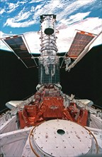
UMG22A39_433
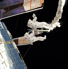
EVA 5 activity on Flight Day 8 to service the Hubb...
UMG22A39_432
EVA 2 activity on Flight Day 5 to survey the HST s...

UMG22A40_051
STS-81 Mission Specialist Marsha S. Ivins gets a h...
UMG22A39_349
USGS Water-Quality Sampling at St. Marks National ...
UMG22A39_424
Survey views of the Mir space station taken after ...

UMG22A23_340
USGS Library in Hooe Building, Washington, DC, 191...
UMG22A24_363
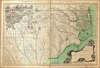
Vintage Maps / Antique Maps - A compleat map of No...
UMG22A33_044
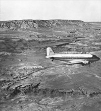
This Douglas C–53D (N19924), crewed and operated b...
UMG22A26_052
Vintage Maps / Antique Maps - A survey of the city...
UMG22A30_040
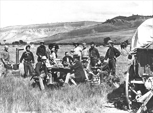
1870 Survey Crew - Group photo of all the members ...
UMG22A30_153
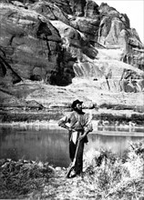
John F. Steward, a member of the Powell Survey, in...
UMG22A21_048
Men Working with Surveying Equipment
UMG22A22_339
Tide Predicting Machine at the U.S. Coast and Geod...

UMG22A21_421
World Trade Center Bombing Aftermath
UMG22A12_339
Geological Survey building, F Street ca. between 1...
UMG22A07_065
Berlin Wall Photo
UMG22A06_108
Vintage Maps / Antique Maps
UMG21A20_234
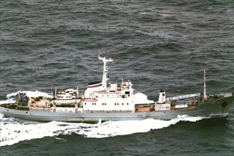
1995 - Aerial starboard side view of a Russian Pac...
UMG21A20_235
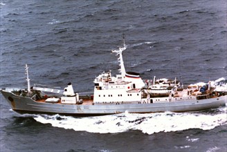
1995 - Aerial port side view of a Russian Pacific...

UMG21A21_279
Geological Survey. Washington, D.C., March 13. Alb...
UMG21A21_280
Geological Survey, Dept. Interior. Washington, D.C...
UMG21A22_026
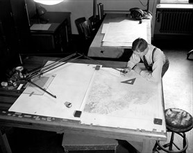
Map-making Division of Coast & Geodetic Survey, De...
UMG21A22_027
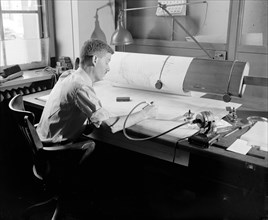
Map-making Division of Coast & Geodetic Survey, De...
UMG21A23_113
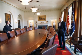
President Barack Obama surveys the Cabinet room wi...
UMG21A15_285
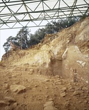
Archeological Site of Atapuerca. 'Railway Trench'.
UMG21A12_196
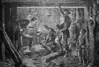
Mine survey in the zinc mine of Vieille-Montagne i...
UMG21A06_177
The United States of Colombia

UMG21A00_073
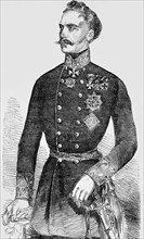
Heinrich Hermann Josef Freiherr von Heß
UMG20B31_028
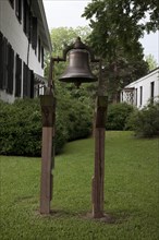
Bell at Bluff Hall
UMG20B27_012
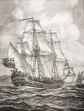
William Dampier aboard the HMS Roebuck
UMG20B21_436
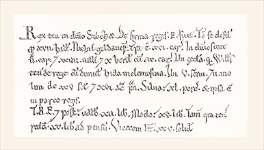
Facsimile of a specimen from the Domesday Book
UMG20B22_497
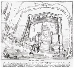
The Tower of London
UMG20B22_300
Magic Lantern slide circa 1900 hand coloured
UMG20B20_338
Magic lantern slide circa 1900
UMG20B11_130
Moscow,russia, june 17, 2003, picture shows the 'b...

UMG20B11_129
Moscow,russia, june 17, 2003, picture shows the 'b...
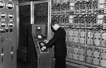
UMG20A98_498
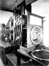
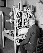
The besm-1 computer designed by the institute of p...
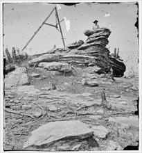
UMG20A69_046
Chattanooga, Tennessee, vicinity. Tripod signal er...
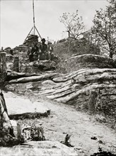
UMG20A60_380
Chattanooga, Tennessee (vicinity). Tripod signal e...
UMG20A60_381
Tripod signal at Pulpit Rock on Lookout Mountain ...

UMG20A48_338
Cragston Satellite Outer Space Survey Ship 1950
UMG20A44_286
Carpenter 1938

UMG20A37_129
Railroad Magazine: Annual Speed Survey, 1945 1945
UMG20A07_181
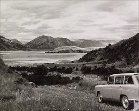
Rakaia Valley, South Island
UMG20A07_188
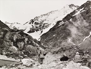
The Base of Tasman Glacier
UMG20A07_158
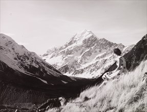
Aoraki/Mount Cook, South Island, New Zealand
UMG20A07_186
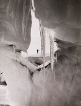
Tasman Glacier Ice Cave, Mount Cook National Park
UMG20A07_178
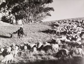
Mustering lambs, Hoemoana Station, near. Waimarama
UMG20A04_496
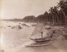
Fishing boat and crew, Sri Lanka
UMG20A12_341
Aerocartograph Mapping
UMG20A03_213
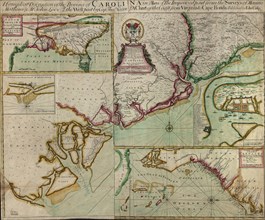
Carolinas in 1711 1711
UMG20A03_429
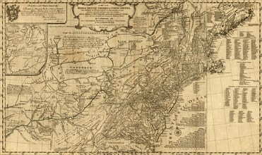
British Colonies - 1776
UMG20A03_473
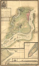
Fort Mifflin - 1777
UMG20A04_105
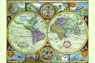
New & Accurate Map of the World; a Stereographic P...
UMG20A02_401
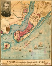
Ft. Fisher showing Union attack, January 15th 186...
UMG20A02_491
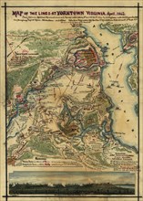
Yorktown Siege 1862
UMG20A03_477
Plan of the attack of Fort Clinton and Montgomery ...
UMG20A04_123
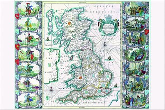
Britannia 1676

UMG20A21_243
British Construction Scene
UMG20A01_394
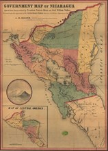
Nicaragua 1856
UMG20A03_232
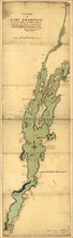
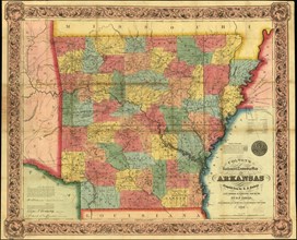
Arkansas - 1854 1854
UMG20A03_405
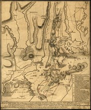
Battle of Long Island - 1776
UMG20A04_109
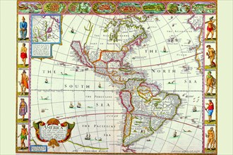
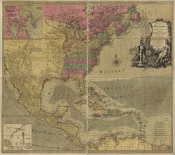
America 1676

UMG20A02_121
Pensacola Bay Florida -
UMG20A03_166
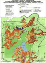
Fire Assessment - Yellowstone National Park - 1988...
UMG20A03_408
Battle of Long Island - 1777 1776
UMG20A01_233
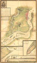
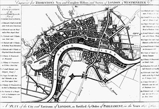
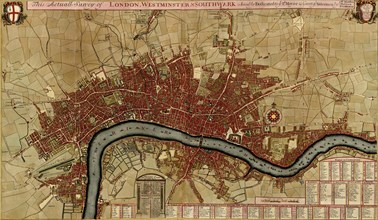
Survey of London, Westminster, and Southwark - 170...
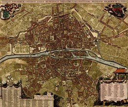
UMG20A01_234
City Plan Paris - 1700 1700
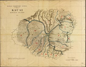
UMG20A03_182
Kauai, Hawaii - 1903 1903
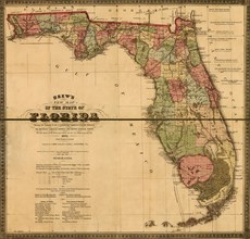
UMG20A03_282
Florida Railway & Township Map - 1874 1874
UMG20A03_406
New England during the War of Independence 1776
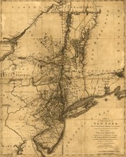
UMG20A03_420
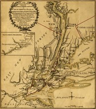
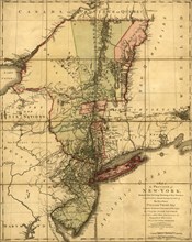
New York During the War of Independence 1776
UMG20A03_433
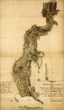
Throgs Neck - 1776
UMG20A04_129
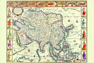
Asia 1626
UMG20A01_359
British Empire in North America - 1783 1783
UMG20A03_421
New York During the War of Independence 1776
UMG20A03_432
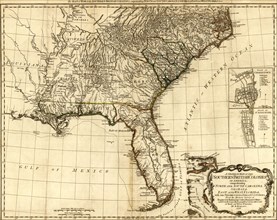
British Colonies in the Southern US - 1776

UMG20A18_498
Chicago's St. Patrick's Church
UMG20A18_034
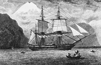
HMS Beagle

UMG20A17_308
Malcolm Campbell's Racing Line
- Page
-
- sur
- 2