47 résultats pour : navigational
- Page
-
- sur
- 1
Connectez-vous pour plus de résultats
UMG22A65_277
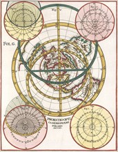
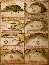
Polar Map 1702

UMG22A65_444
Atlas on Frontispiece
UMG22A65_345
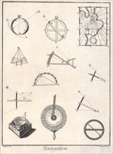
Navigation Instruments

UMG22A66_229
Mariners Mirror

UMG22A27_317
Head-and-shoulders portrait of Francois Chaussier,...
UMG20B38_187
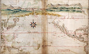
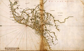
Map of the Canary Islands and the west coast of Af...
UMG20B26_283
Negative circa 1900
UMG20B23_076
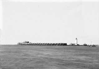
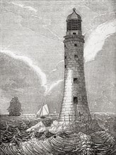
East side of the Eddystone Lighthouse
UMG20B22_212
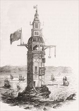
The first lighthouse erected on Eddystone Rocks
UMG20A01_499
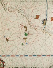
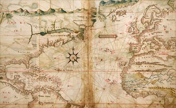
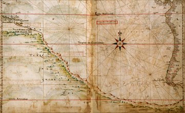
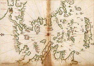
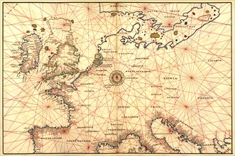
Portugese Navigational Map of the North Atlantic -...
UMG20A02_006
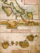
Portuguese Map of the East Indies & Philippines - ...
UMG20A02_007
Portuguese map of the North Pacific - 1630 1630
UMG20A04_093
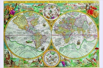
World Map 1599
UMG20A02_001
Brazilian Ports & Rio de La Plata - 1630 1630
UMG20A02_008
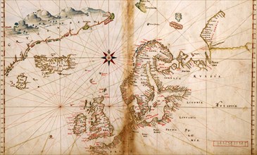
Portuguese Map of Northern Europe & Scandinavia - ...
UMG20A04_104
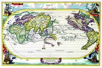
Navigationes Precipae Europorum ad Exteras Natione...
UMG20A01_500
Portuguese Ports in Portugal & Spain - 1630 1630
UMG20A02_009
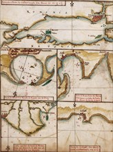
Baltic Sea in a Polar Projection - 1630 1630
UMG20A02_003
Portuguese Navigational Map of Caribbean Ports - 1...
UMG20A02_010
Portuguese map of The Low Countries - 1630 1630
UMG20A02_002
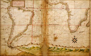
Portuguese Navigational Map of the South Atlantic ...
UMG20A02_011
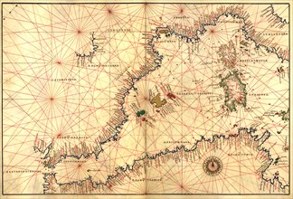
Portuguese maps of the Mediterranean - 1630 1630
UMG20A01_493
Navigational Map of the Indian Ocean - 1630 1630
UMG20A02_012
Portuguese maps of the Mediterranean Countries - 1...
UMG20A01_492
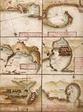
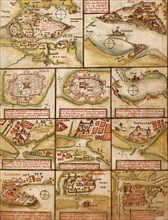
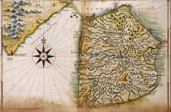
Portuguese map of Fortified Cities on the Coast of...
UMG20A02_013
Portuguese maps of Turkey, & the Port of Alexandri...
UMG20A02_005
Portuguese Map of the Red Sea & The Middle east - ...
UMG20A02_014
Portuguese maps of the Mediterranean Countries - 1...
UMG20A02_022
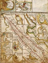
Portuguese map of the Straits of Megellan - 1630 1...

UMG20A02_004
Asia - 1630 by the Portuguese 1630
UMG20A02_015
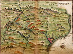
Portuguese Map of Brazil's Amazon - 1630 1630
UMG20A02_023
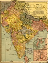
India - 1903 1903
UMG20A02_020
Ports & Island on the Coast of Peru & Chile - 1630...
UMG20A02_021
Portuguese map of the South Pacific - 1630 1630
UMG20A02_018
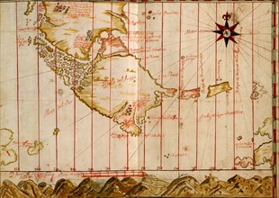
Portuguese map of the East Coast of Africa - 1630 ...
UMG20A02_019
Portuguese map of Ceylon & India - 1630 1630
UMG20A02_016
Portuguese map of Greece & The Agean Sea - 1630 16...
UMG20A02_017
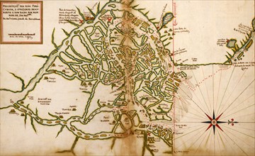
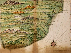
Portuguese Map of Zambezia, Mozambique & Surroundi...
UMG20A00_289
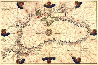
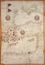
Portolan or Navigational Map of the Black Sea show...
UMG20A00_293
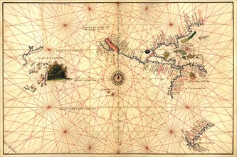
Portolan Map of Italy, Sicily, North Africa & the ...
UMG20A00_288
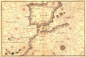
Portolan or Navigational Map of the Spain, Gibralt...
UMG20A00_292
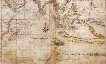
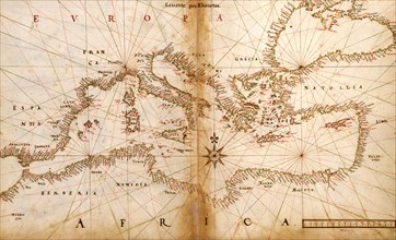
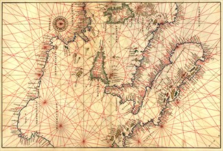
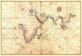
Portolan Map of Africa, the Indian Ocean and the I...
UMG20A00_291
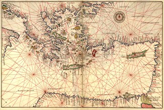
Portolan or Navigational Map of Greece, the Medite...
UMG20A00_294
Portolan Map of the Western Hemisphere showing wha...
UMG20A00_295
Portolan Map of Spain, England, France, Germany, T...
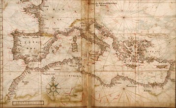
UMG20A00_290
Portolan or Navigational Map of the Western Medite...
UMG20A00_296