Sujet
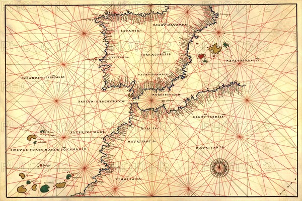
Portolan or Navigational Map of the Spain, Gibraltar & North Africa 1544
Légende
Portolan or Navigational Map of the Spain, Gibraltar & North Africa. Done in 1544 by the Italian cartographer Battista Agnese.
Crédit
Photo12/Universal Images Group
Notre référence
UMG20A00_288
Model release
NA
Property release
NA
Licence
Droits gérés
Format disponible
48.9Mo (10.7Mo) / 42.8cm x 28.6cm / 5061 x 3375 (300dpi)