Sujet
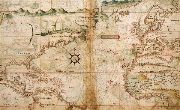
Portugese Navigational Map of the North Atlantic - 1630 1630
Légende
Portugese Navigational Map of the North Atlantic - 1630
Crédit
Photo12/Universal Images Group
Notre référence
UMG20A01_499
Model release
NA
Property release
NA
Licence
Droits gérés
Format disponible
45.6Mo (3.5Mo) / 43.2cm x 26.5cm / 5100 x 3126 (300dpi)