33 résultats pour : landkarte
- Page
-
- sur
- 1
Connectez-vous pour plus de résultats
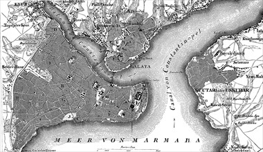
UMG22A44_098
Map of Constantinople
UMG21A09_209
Map of Alexandria in Egypt in prehistoric times
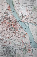
UMG21A09_210
Map of Alexandria in Egypt in 1880 / Plan von Al...
UMG21A02_209
historical map of Germany in 1550 / historische ...
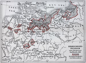
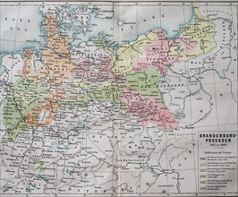
UMG21A01_416
Map of Brandenburg and Prussia at the time of the ...
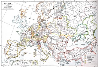
UMG21A02_192
Map of Europe at the beginning of the Reformation ...
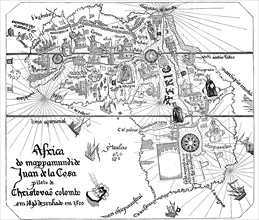
UMG21A02_232
historical map from Africa to Juan de la Cosa
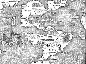
UMG21A02_214
historical map with the view of America at the beg...
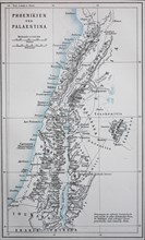
UMG21A01_407
Map of ancient Phoenicia and Palestine / Landkar...
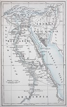
UMG21A01_408
Map of ancient Egypt and Petraea / Landkarte des...

UMG21A02_085
Map of the discovery of the Antilles by Christophe...
UMG21A02_207
historical map with an overview of Christopher Col...
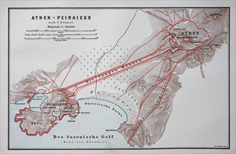
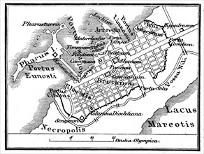
UMG21A01_411
old map of Athens and Peiraieus
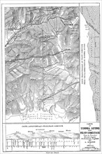
UMG20B50_457
Historische Landkarte von Nevada mit der Stadt Vir...
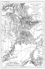
UMG20B50_459
Landkarte des Bundesstaat Utah
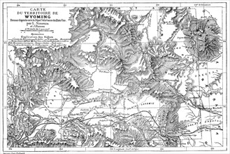
UMG20B50_458
Landkarte des Bundesstaat Wyoming im Jahre 1882
UMG20B50_456
Historische Landkarte von Südindien mit dem Delta ...
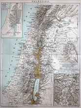
UMG20B49_064
the map of Palestine in the year 1886 / die Kart...
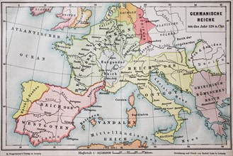
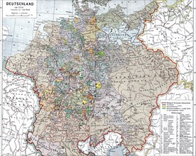
UMG20B46_004
Historical map of the german empire in the year 52...
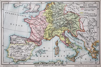
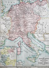
UMG20B45_227
Historical map of the german empire at the time of...
UMG20B46_033
Digital improved reproduction
UMG20B46_032
Digital improved reproduction
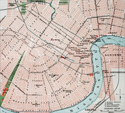
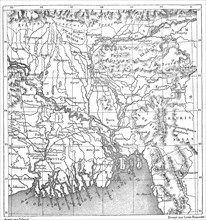
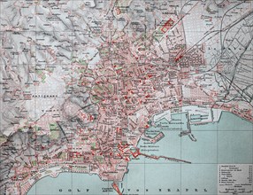
UMG20B46_063
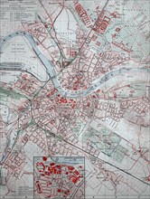
Historical map of the city of New Orleans and the ...
UMG20B46_051
Digital improved reproduction
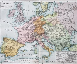
UMG20B46_059
Historical map of Europe from the time of Napoleon...
UMG20B46_050
Digital improved reproduction
UMG20B46_049
Digital improved reproduction
UMG20B46_048
Digital improved reproduction
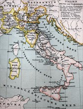
UMG20B46_060
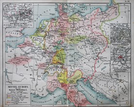
Historical map of central Europe from the time of ...
UMG20B45_224
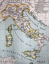
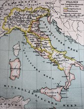
historical map
UMG20B45_494
Historical map of the german empire at the time of...
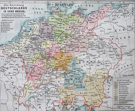
UMG20B45_493
Historic map dividing Germany into ten districts i...
UMG20B46_052