Sujet
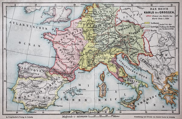
Historical map of the german empire at the time of Carl the Grear
Légende
Historical map of the german empire at the time of Carl the Grear, year 814 / Historische Landkarte, das Reich von Karl der Große, im Jahre 814 n.Chr.
Crédit
Photo12/UIG/Bildagentur-online
Notre référence
UMG20B45_227
Licence
Droits gérés
Format disponible
34.3Mo (3.3Mo) / 36.1cm x 23.8cm / 4263 x 2813 (300dpi)