69 résultats pour : historical world map
- Page
-
- sur
- 1
Connectez-vous pour plus de résultats
UMG23A62_334
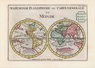
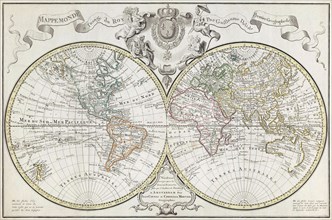
World map dating from the late 17th or early 18th ...
UMG23A59_110
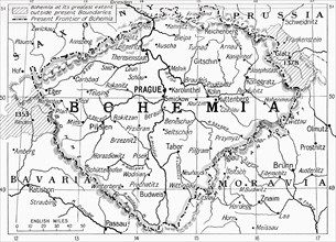
Map of Bohemia at the outbreak of WWI.
UMG23A58_373
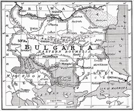
Map of Bulgaria at the outbreak of WWI.
UMG23A61_061
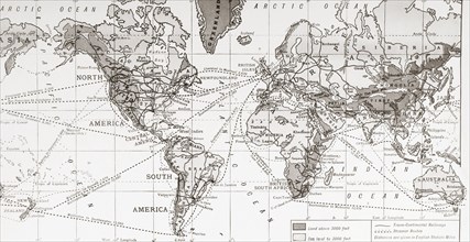
Physical map of the world.
UMG23A58_371
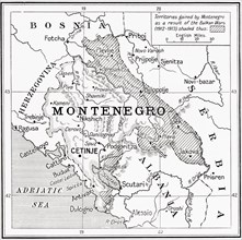
Map of Montenegro at the outbreak of WWI.
UMG23A58_312
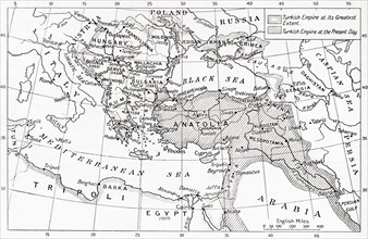
Map of Turkey at the outbreak of WWI.
UMG23A58_351
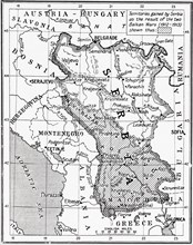
Map of Serbia at the start of WWI.
UMG23A61_164
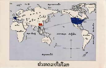
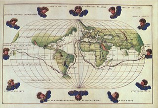
World Map.
UMG23A39_254
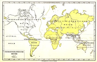
Animal Geographic World Map
UMG23A00_015
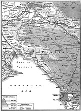
Map of Carso Battlefield.
UMG22A67_399
Head of the World.
UMG22A65_274
Old World Irish Map 1600
UMG22A65_278
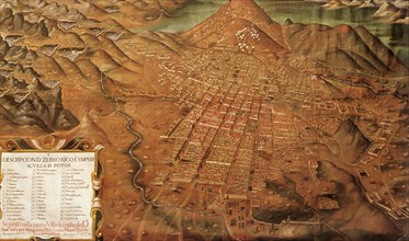
Map of Potosi, Peru 1758
UMG22A69_297
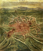
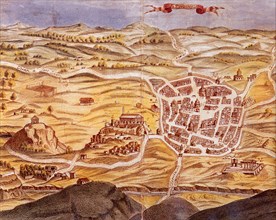
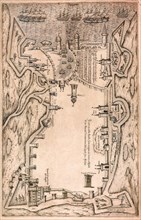
Plan of Athens.
UMG22A69_166
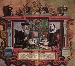
Mapmakers Gerard Mercator & Jodocus Hondius.
UMG22A55_423
Propaganda Posters
UMG22A55_424
Propaganda Posters
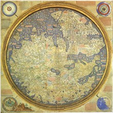
UMG22A60_101
Fra Mauro Map
UMG22A56_124
Géographie

UMG22A54_027
Géographie

UMG22A55_075
Géographie
UMG22A54_340
Géographie

UMG22A55_074
Géographie
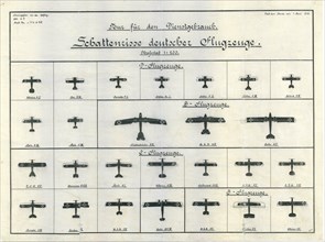
UMG22A20_140
German Aircraft Recognition Chart June 1918
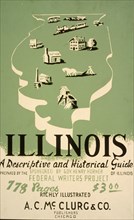
UMG22A20_261
Illinois: A descriptive and historical guide ca. 1...
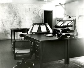
UMG22A20_026
Forecast Desk With World Map on Wall Scottsbluff
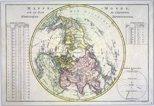
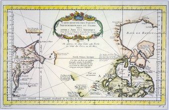
UMG22A06_497
World map on the plane of the equator. Northern He...

UMG22A07_161
Reduced map of the northern parts of the world
UMG22A06_490
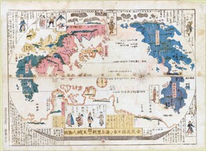
Square map of all the countries on the globe
UMG22A06_488
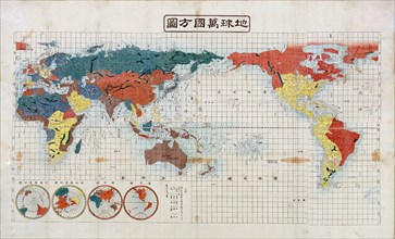
Map of all the countries of the world and pictures...
UMG22A03_441
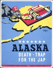
Alaska - death-trap for the Jap
UMG22A03_402
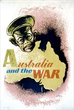
Australia and the war
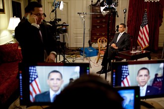
UMG21A23_234
President Obama conducts interviews in the Map R...
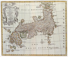
UMG21A17_085
Japan, 1747
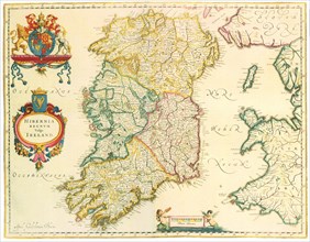
UMG21A18_161
Map of Ireland 1635
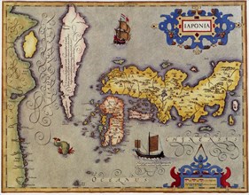
UMG21A17_189
Japan, 1606
UMG21A17_298
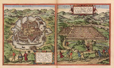
Aztec, Incan Capitals 1528
UMG21A17_388
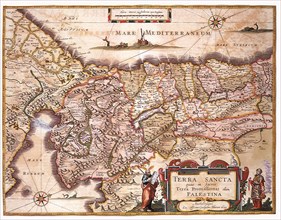
Map of the Holy Land and Routes 1662
UMG21A17_297
Aztec Capital with Water 1528
UMG21A17_369
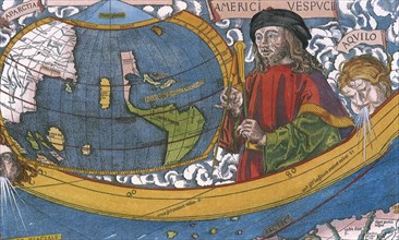
Map showing Amerigo Vespucci 1507
UMG21A17_387
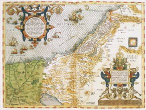
Map of the Judaica Holy Land 1575
UMG21A17_068
Portolan Atlas
UMG21A17_329
Belgium and Holland Map 1606
UMG21A17_390
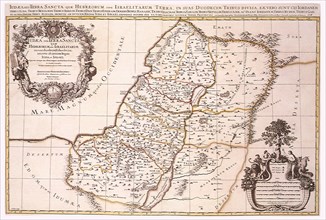
Map of Israel's Twelve Tribes 1696
UMG21A17_356
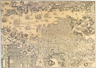
Map of Nagasaki.

UMG21A17_389
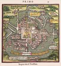
Map of Sixteenth-Century Jerusalem 1612
UMG21A17_220
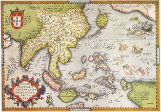
South East Asia 1570
UMG21A18_165
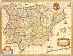
Iberian Peninsula Map 1631
UMG21A17_196
La Rochelle
UMG21A17_392
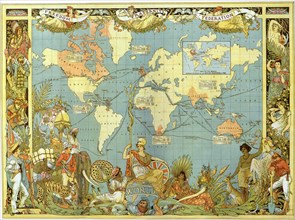
Map of the British Empire in 1886
UMG21A18_140
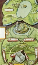
Map with Streams, Churches 1577
UMG21A02_043
The world map of Toscanelli
UMG20B19_288
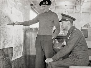
King George VI in the map lorry at Field-Marshal M...
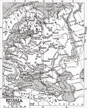
UMG20B19_452
Map of Russia in 1915
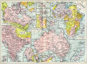
UMG20B19_137
Map of British possessions in 1914 at the outbreak...
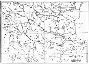
UMG20B19_179
Map of the Balkan States in 1914
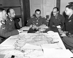
UMG20A16_159
German Army Group G Surrender
UMG20A16_044
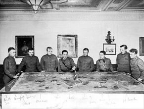
British War Progress
UMG20A04_138
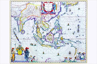
India & Southeast Asia 1650

UMG20A16_110
American Boot To Crush Kaiser
UMG20A04_082
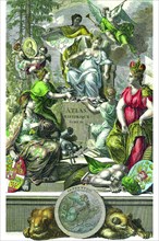
Historical Atlas Title Page 1719
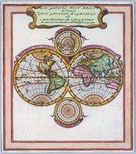
UMG20A04_097
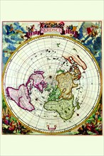
Polar Projection Map of the World 1700
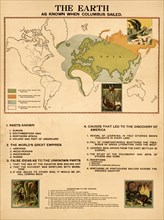
UMG20A01_275
The Earth When Columbus Sailed 1898
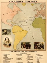
UMG20A01_276
Columbus' Voyages 1898
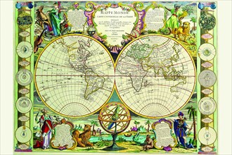
UMG20A04_100
Mappa Monde Carte Universelle de la terre 1755
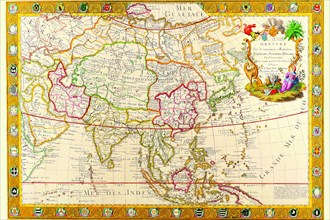
UMG20A04_130
Asia 1732

UMG20A17_098
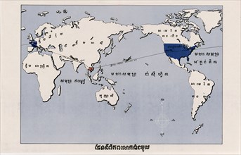
United Nations Symbol
UMG20A12_311
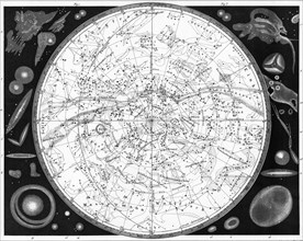
Map Of The Southern Heavens
UMG20A21_486