480 résultats pour : historical map
- Page
-
- sur
- 5
Connectez-vous pour plus de résultats
UMG24A03_284
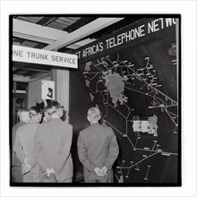
Royal Show East Africa Post and Telecommunications...
UMG24A03_285
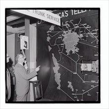
Royal Show East Africa Post and Telecommunications...
UMG24A03_286
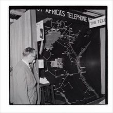
Royal Show East Africa Post and Telecommunications...

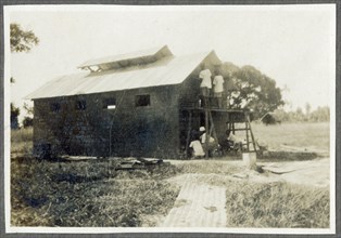
UMG24A03_302
Royal Show Settlement Board Stand

UMG24A03_362
Royal Show Nyali Estate Stand
UMG24A03_383
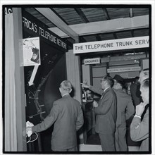
Royal Show East Africa Post and Telecommunications...
UMG24A03_301
Royal Show Settlement Board Stand
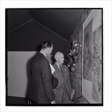
UMG24A01_243
Nairobi P.W.D apprentices with map cabinet
UMG23A66_397
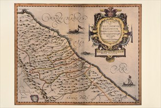
Carte géographique du 17e siècle
UMG23A66_398
Carte géographique du 16e siècle
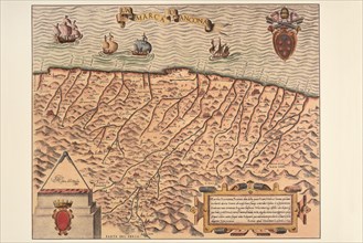
UMG23A66_399
Carte géographique du 16e siècle
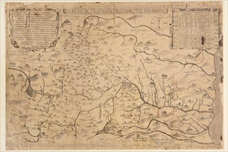
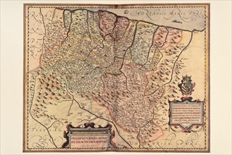
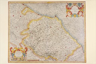
UMG23A66_391
Carte géographique du 17e siècle
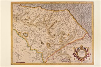
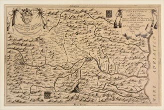
UMG23A66_393
Carte géographique du 17e siècle

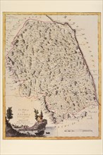
UMG23A66_392
Carte géographique du 17e siècle
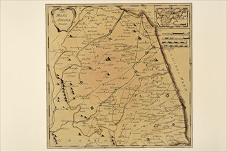
UMG23A66_394
Carte géographique du 17e siècle
UMG23A66_395
Carte géographique du 17e siècle
UMG23A66_396
Carte géographique du 17e siècle
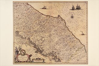
UMG23A66_387
Carte géographique du 19e siècle
UMG23A66_388
Carte géographique du 17e siècle
UMG23A66_389
Carte géographique du 17e siècle
UMG23A66_390
Carte géographique du 17e siècle
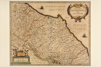
UMG23A66_384
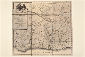
Carte géographique du 18e siècle
UMG23A66_385
Carte géographique du 18e siècle
UMG23A66_386
Carte géographique du 19e siècle
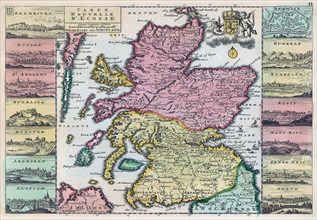
UMG23A62_310
Map of Scotland dating from the early 18th century...
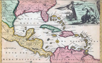
UMG23A62_325
18th century map of Central America and the Gulf o...
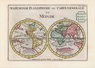
UMG23A62_334
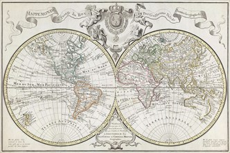
World map dating from the late 17th or early 18th ...
UMG23A58_459
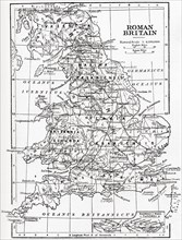
Map of Roman Britain showing the area of the islan...
UMG23A58_100
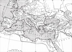
Map of the Roman Empire.
UMG23A58_421
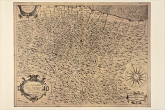
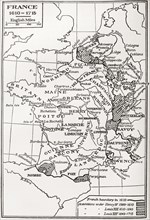
Map of France.
UMG23A60_343
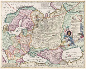
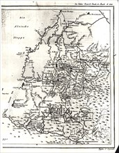
17th century map of Russia and surrounding countri...
UMG23A58_376
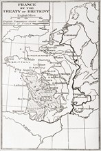
Map of France by the Treaty of Bretigny.
UMG23A61_178
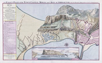
An Exact Plan of the Town Castle Moles and Bay of ...
UMG23A58_420
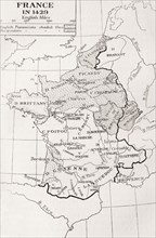
Map of France in 1429.
UMG23A62_060
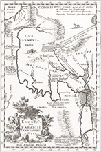
Imagined situation of the Garden of Eden.
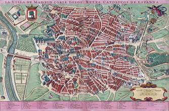
UMG23A61_201
Anonymous map of Madrid dating from late 17th or e...
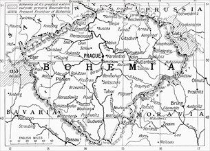
UMG23A59_110
Map of Bohemia at the outbreak of WWI.
UMG23A60_110
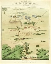
Souvenir Battle of Waterloo map.
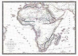
UMG23A60_090
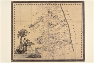
Map of the African continent by the geographer A.H...
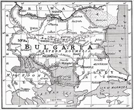
UMG23A58_373
Map of Bulgaria at the outbreak of WWI.
UMG23A62_099
The true and exact Plan of all the Old and New For...
UMG23A62_131
Plan of Madrid.
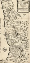
UMG23A62_270
French map from 1720 of Palestine.
UMG23A61_155
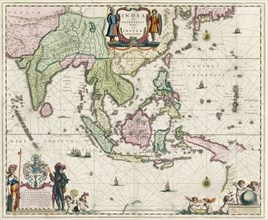
Map of South-East Asia.
UMG23A62_069
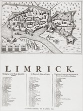
Map of Limerick.
UMG23A60_344
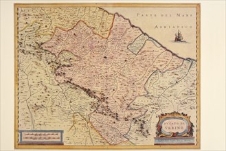
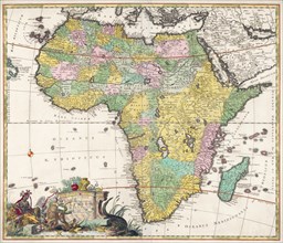
Map of Africa dating from the late 17th century.
UMG23A61_061
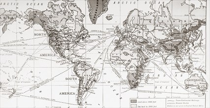
Physical map of the world.

UMG23A62_481
Nathaniel Nye.
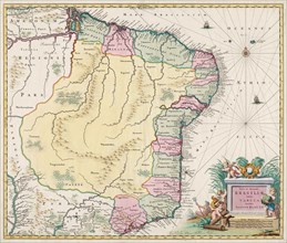
UMG23A61_133
Map of Brazil.
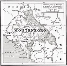
UMG23A58_371
Map of Montenegro at the outbreak of WWI.
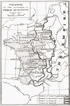
UMG23A58_414
Map of France at the accession of Philip II, aka P...
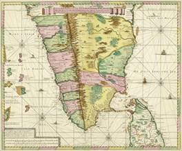
UMG23A62_411
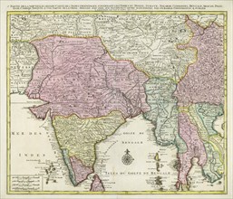
Map of Southern India and Ceylon.
UMG23A61_153
Map of the centre of Rome.

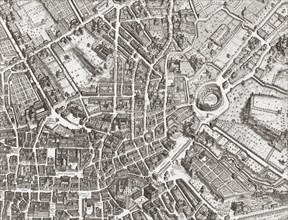
UMG23A61_161
The beheading of Cornelis de Hooghe.
UMG23A58_312
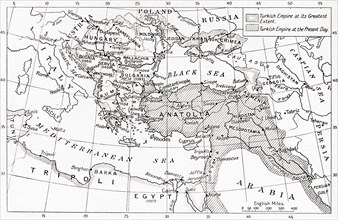
Map of Turkey at the outbreak of WWI.
UMG23A62_303
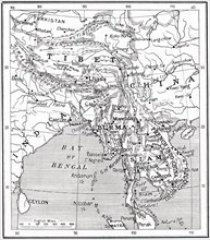
Map of India and Southern Asia dating from 1792.
UMG23A58_351
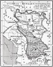
Map of Serbia at the start of WWI.
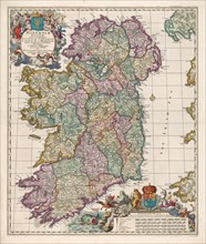
UMG23A62_474
Map of Ireland.
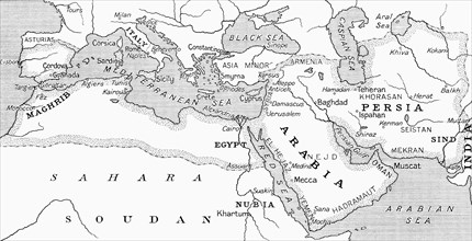
UMG23A58_328
Map of the Umayyad Caliphate at its height around ...
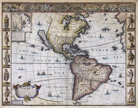
UMG23A63_006
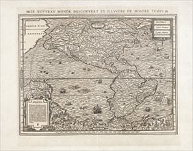
Map of America.
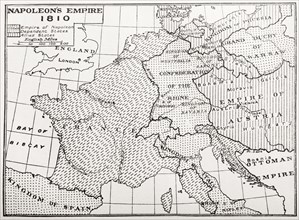
UMG23A58_429
Map showing Napoleon's Empire, France.
UMG23A58_437
Map of the Indo-Chinese nations as at 1915.
UMG23A61_164
World Map.
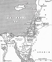
UMG23A58_063
Map showing the kingdoms of Judah and Israel.
UMG23A62_478
Map of North and South America.
UMG23A59_174
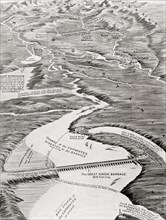
Bird's-eye view of Mesopotamia showing William Wil...
UMG23A58_179
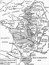
A map of feudal France in 987.
UMG23A58_188
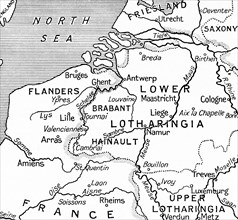
Map of Belgium.
UMG23A60_172
The sea chart of Juan de la Cosa.
UMG23A58_290
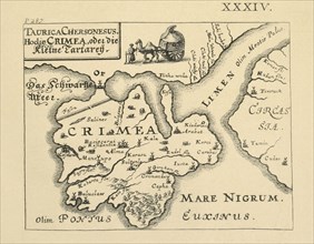
Map of Crimea published in Kiev.
UMG23A62_062
Map showing the extent of the damage caused by the...
UMG23A54_161
A photocopy of a part of the map of the Western Al...
UMG23A53_289
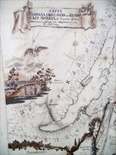
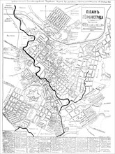
Irkutsk
UMG23A54_488
Long-standing map of the city of Elisavetgrad
UMG23A42_278
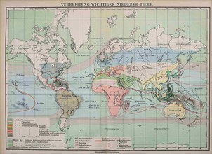
Map Of The Distribution Of Important Lower Animals
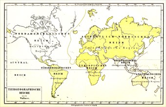
UMG23A39_254
Animal Geographic World Map
UMG23A41_030
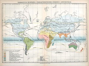
Insects

UMG23A15_183
A couple in a motorhome, 1957
UMG23A16_379
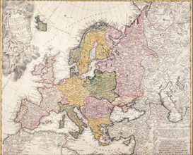
Europe map, 1793

UMG23A13_187
Lesson in a italian primary school, 70's
UMG23A16_073
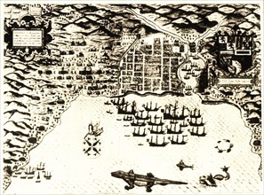
Sir francis drake in cartagena, giovanni battista ...
UMG23A15_020
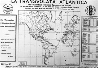
Propaganda poster in the occasion of the cruise av...
UMG23A00_015
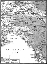
Map of Carso Battlefield.
UMG23A00_243
Map of Copenhagen.
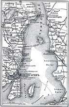
UMG23A02_037
Map of Archipelago Hawaii.
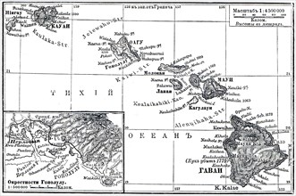
UMG23A01_377
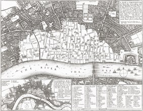
Plan of Moscow and the Kremlin.
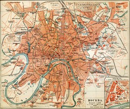
UMG23A02_072
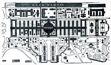
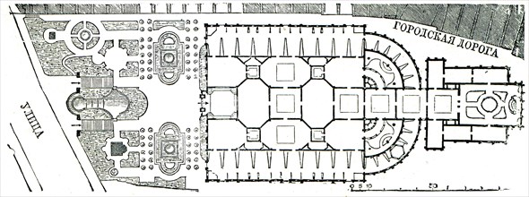
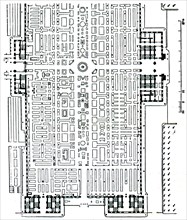
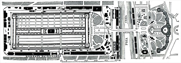
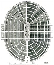
Paris Exhibition.
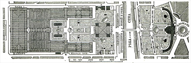
UMG23A02_073
Vienna Exhibition.
UMG23A02_038
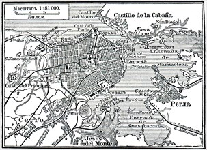
Plan of La Habana.
UMG23A02_039
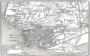
Plan of Le Havre.
UMG23A02_068
Berlin Exhibition.
UMG23A02_069
Paris Exhibition.
UMG23A02_070
Paris Exhibition.
UMG23A02_071
Paris Exhibition.
UMG23A02_233
Starting course of Geography'.
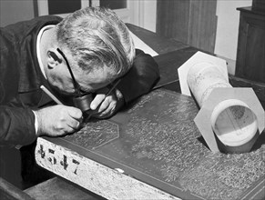
UMG22A86_424
cartographe, graveur, 1954
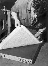
UMG22A87_064
bureau de cartographie, exécution d'un moulage à p...

UMG22A86_426
bureau cartographique, dessinateur, 1954

UMG22A76_036
cartographic office, 1954
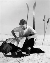
UMG22A87_041
sport, skieur lisant une carte, 1950
- Page
-
- sur
- 5