155 résultats pour : cartography world
- Page
-
- sur
- 2
Connectez-vous pour plus de résultats
UMG23A58_373
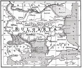
Map of Bulgaria at the outbreak of WWI.
UMG23A58_371
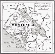
Map of Montenegro at the outbreak of WWI.
UMG23A58_312
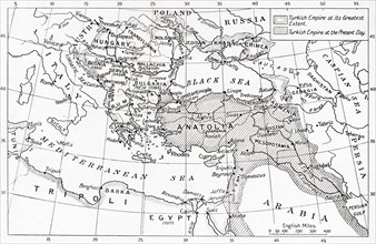
Map of Turkey at the outbreak of WWI.
UMG23A58_351
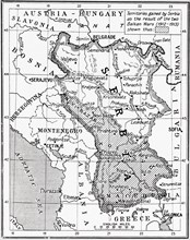
Map of Serbia at the start of WWI.
UMG23A61_164
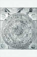
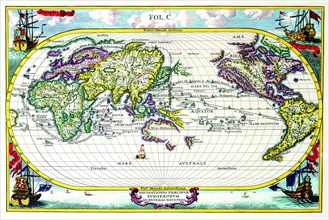
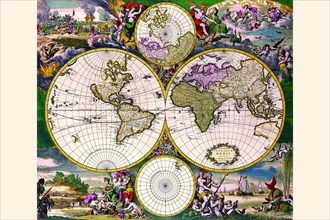
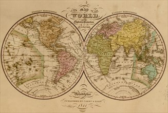
World Map.
UMG21A14_141
Map by Spanish marine and cartographer Juan de la ...
UMG20B38_193
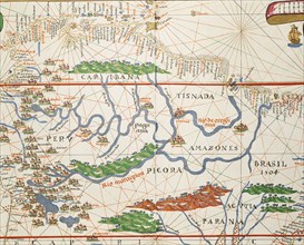
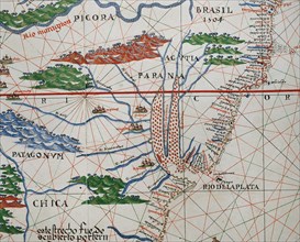
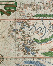
Amazon basin and two mouths.
UMG20B38_192
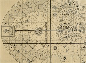
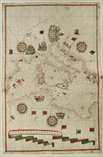
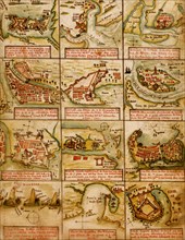
Portolan atlas.
UMG20B38_194
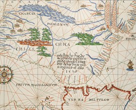
Strait of Magellan, Patagonia and Tierra de Fuego.
UMG20B38_189
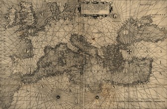
Western Mediterranean.
UMG20B38_188
West Coast of the African Continent.
UMG20B38_191
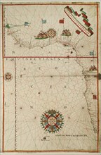
Portolan atlas.
UMG20B38_190
American west coast (Peru, Ecuador and Colombia).
UMG20B36_199
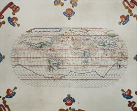
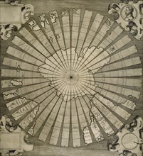
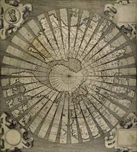
World map. South Pole. Map by Antonius Florianus. ...
UMG20B38_040
World map by Claudius Ptolemy (90-168). Engraving,...
UMG20B38_039
World map. Italian engraving. 16th century.

UMG20A49_041
Finest in the World 1885
UMG20A47_185
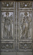
Doors Classical Figures Represent writing 2010
UMG20A00_313
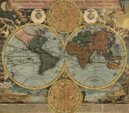
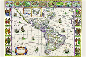
New map of the world : with all the new discoverie...
UMG20A12_342
Stellar Navigation
UMG20A00_337
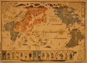
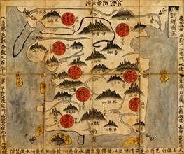
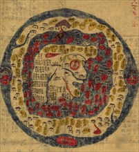
Chinese Medieval World Map
UMG20A01_079
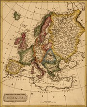
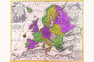
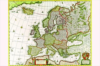
Europe -1817
UMG20A02_243
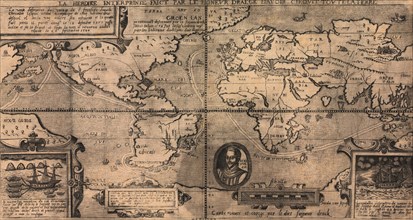
Sir Francis Drake World Map - 1581 1581
UMG20A04_094
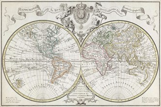
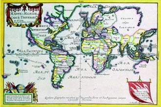
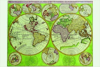
Mappe-Monde or Carte Universel 1724
UMG20A04_101
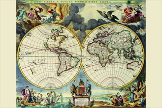
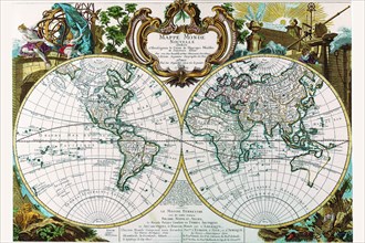
Stereographic Map of the World 1680
UMG20A04_114
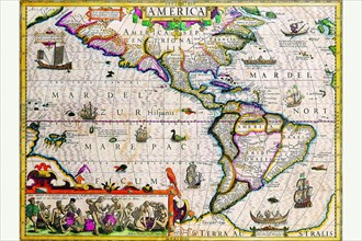
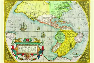
The Americas 1619
UMG20A04_127
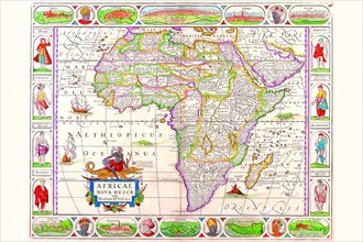
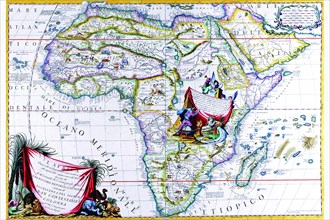
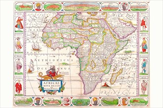
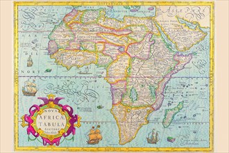
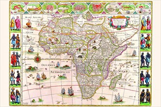
Africa 1690
UMG20A04_138
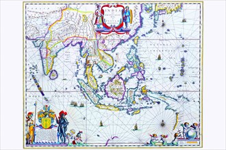
India & Southeast Asia 1650
UMG20A00_338
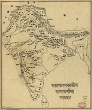
Map of India
UMG20A04_084
Celestial Map 1603
UMG20A04_093
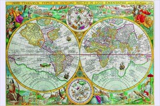
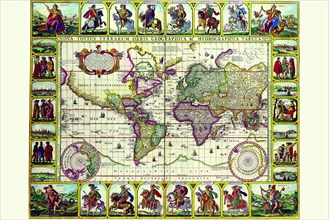
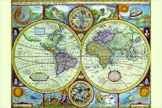
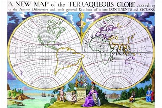
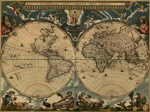
World Map 1599
UMG20A04_102
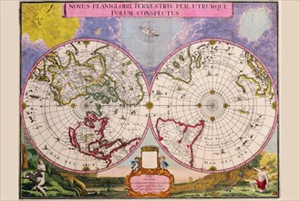
Novus Planiglobii Terrestris Per Utrumque Polum Co...
UMG20A04_113
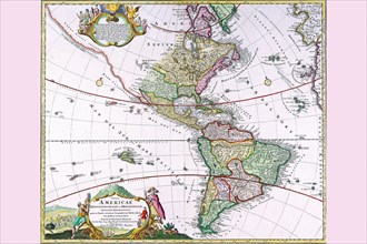
Map of the Americas 1628
UMG20A04_128
Africa 1691
UMG20A04_137
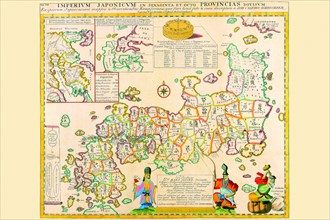
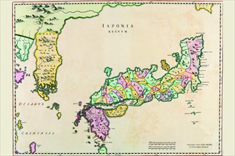
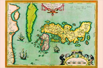
Prefectures & the Peoples of Japan 1727
UMG20A00_350
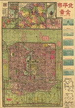
Beijing 1921 City Map 1921
UMG20A04_092
World Map of lands and waterways 1652
UMG20A04_104
Navigationes Precipae Europorum ad Exteras Natione...
UMG20A04_117
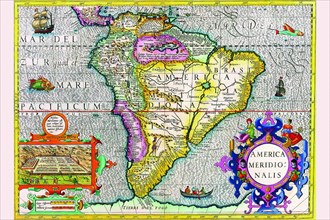
South America 1630
UMG20A04_125
Africa 1658
UMG20A04_136
Japan & Korea 1655
UMG20A00_349
Japanese Woodblock map Based on Matteo Ricci's Wor...
UMG20A04_082
Historical Atlas Title Page 1719
UMG20A04_091
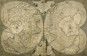
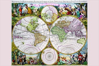
Stereographic World Map with Insets of Polar Proje...
UMG20A04_105
New & Accurate Map of the World; a Stereographic P...
UMG20A04_116
The Americas 1579
UMG20A04_126
Africa 1610
UMG20A04_135
Description of the Japanese Islands 1590
UMG20A00_333
People of Many Nations 1850
UMG20A04_087
Stereographic Projection of the World with Latitud...
UMG20A04_098
Mappe Monde Nouvelle 1744
UMG20A04_106
Stereographic Map of the World with Classical Illu...
UMG20A04_119
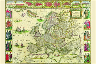
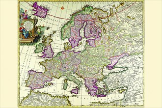
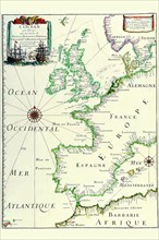
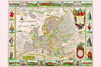
Europe 1650
UMG20A04_123
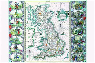
Britannia 1676
UMG20A04_134
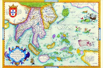
East Indies by Ortelius 1590
UMG20A04_141
Mappe-Monde Celeste Terrestre et Historique; Stere...
UMG20A00_334
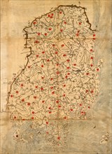
Ancient Map of Korea
UMG20A04_088
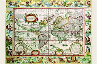
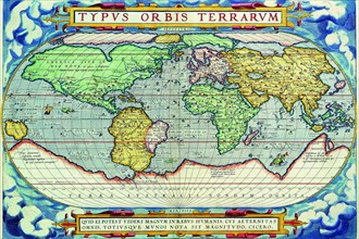
Typus Orbis Terrarum from the Theatre of the World...
UMG20A04_097
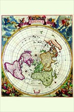
Polar Projection Map of the World 1700
UMG20A04_107
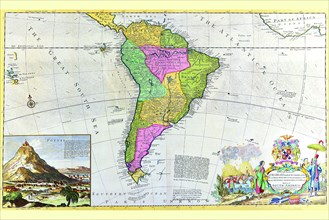
Antique Map of South America 1715
UMG20A04_118
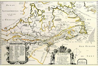
New France or Canada by Champlain 1677
UMG20A04_124
Africa 1640
UMG20A04_133
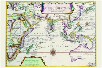
Indies Orientales; Southeast Asia 1680
UMG20A00_436
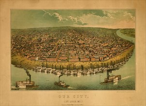
Our City, St. Louis Missouri 1859 1859
UMG20A01_048
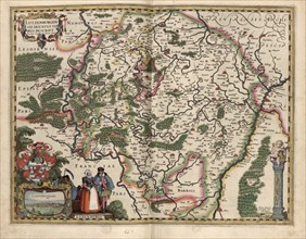
Map of Luxembourg 1622
UMG20A01_070
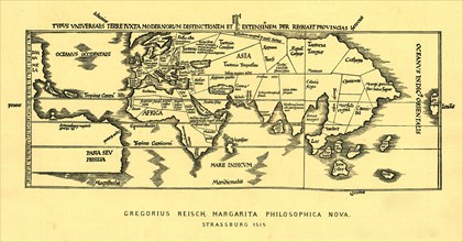
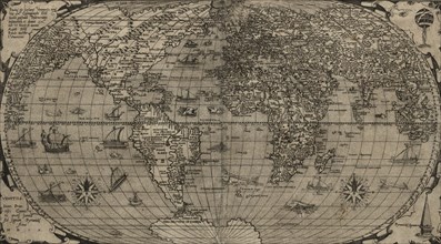
World Map 1525
UMG20A01_275
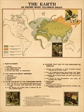
The Earth When Columbus Sailed 1898
UMG20A01_496
Ports & islands in East Africa & The Coast of Indi...
UMG20A02_094
Reptiles, Serpents, Ophidia of the World 1848
UMG20A02_212
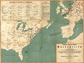
Immigration to North America - 1853 1853
UMG20A04_096
Stereographic Map of the World with Polar projecti...
UMG20A04_108
The Americas - The Western Hemisphere 1746
UMG20A04_112
Europe 1700
UMG20A04_121
Europe 1690
UMG20A04_132
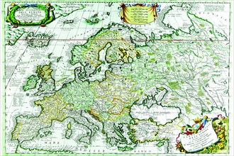
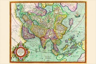
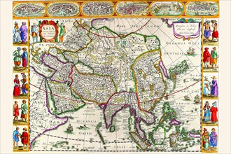
Asia 1620
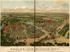
UMG20A00_434
St. Louis World's Fair Grounds 1904 1904
UMG20A01_069
Antique World Map 1905
UMG20A01_276
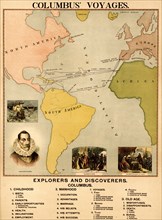
Columbus' Voyages 1898

UMG20A02_093
Food Plants of the World 1848
UMG20A02_213
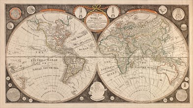
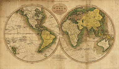
World Map - 1785 1785
UMG20A04_095
Stereographic Map of the World - Theatrum Orbis Te...
UMG20A04_103
The Americas at the Time of Columbus Prited in 165...
UMG20A04_111
Europe 1760
UMG20A04_122
Europe 1641
UMG20A04_131
Asia 1632
UMG20A01_071
World Map 1716
UMG20A02_067
Europe in 1572 1572
UMG20A02_101
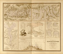
Mountains & Glacial Systems of the World 1848
UMG20A02_210
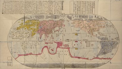
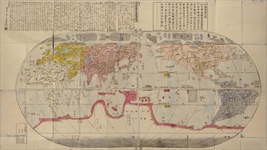
World Map Chinese during the Ming Period - 1800 18...
UMG20A04_109
America 1676
UMG20A04_120
Europe 1658
UMG20A01_072
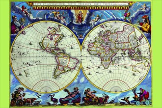
World Map 1664
UMG20A01_265
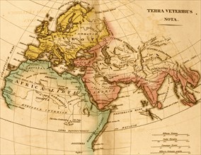
The World in Post Biblical Times
UMG20A02_066
World - 1568 1560
UMG20A02_211
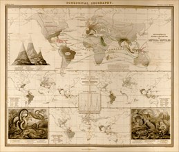
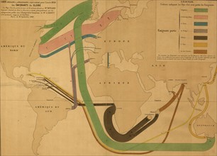
World Emigration Patterns - 1862
UMG20A04_110
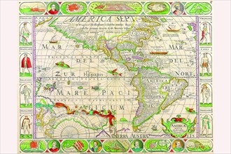
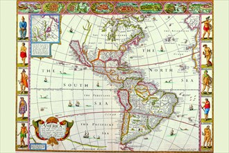
New Map of the Americas 1650
UMG20A04_115
Europe 1640
UMG20A01_073
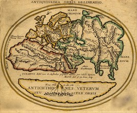
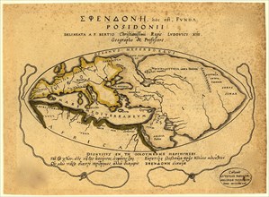
World by Posidonii 100 BCE
UMG20A01_166
World Map -1844 1844
UMG20A02_208
World Map - 1795 1795
- Page
-
- sur
- 2