293 résultats pour : cartographers
- Page
-
- sur
- 3
Connectez-vous pour plus de résultats
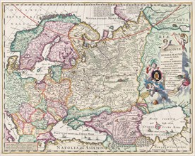
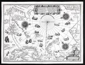
UMG23A60_343
17th century map of Russia and surrounding countri...
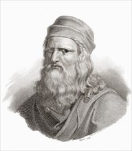
UMG23A62_321
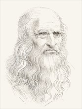
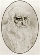
Leonardo di ser Piero da Vinci.
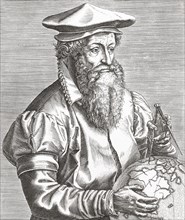
UMG23A62_042
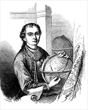
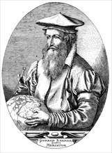
Gerardus Mercator.

UMG23A61_117
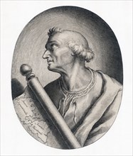
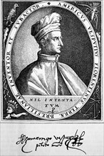
Amerigo Vespucci.
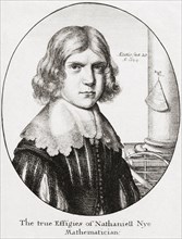
UMG23A62_481
Nathaniel Nye.
UMG23A61_133
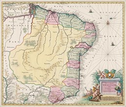
Map of Brazil.
UMG23A62_411
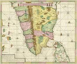
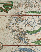
Map of Southern India and Ceylon.
UMG23A62_474
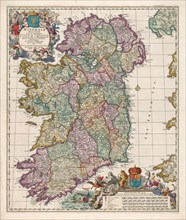
Map of Ireland.
UMG23A63_006
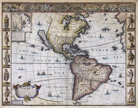
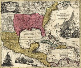
Map of America.
UMG23A60_172
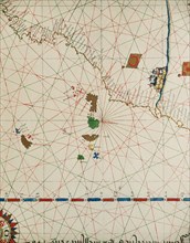
The sea chart of Juan de la Cosa.
UMG23A61_124
Amerigo Vespucci.
UMG23A63_357
Leonardo di ser Piero da Vinci.
UMG23A44_414
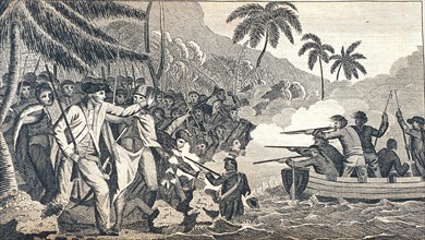
Christopher Columbus.
UMG22A65_275
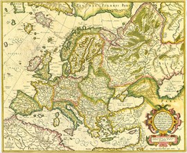
Map of Europe 1623
UMG22A60_099
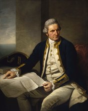
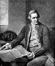
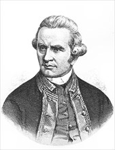
James Cook
UMG22A60_101
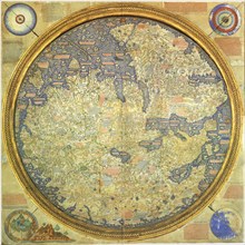
Fra Mauro Map
UMG22A65_214
Jamescook
UMG22A45_458
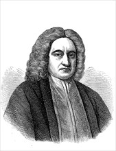
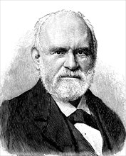
Edmond Halley
UMG22A43_475
Johann Samuel Heinrich Kiepert (b. July 31

UMG22A47_007
James Cook

UMG22A47_102
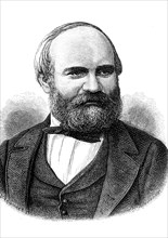
Guillaume Henri Dufour
UMG22A44_166
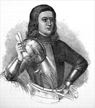
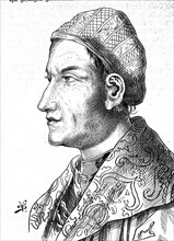
Sebastiano Caboto
UMG22A04_187
Reichborns kart over Christiania
UMG22A03_495
Geelkercks kart over Christiania
UMG22A03_072
Linschotens kart over Vardø - Cartographer Jan Huy...
UMG22A03_311
Cornelis De Jodes verdenskart
UMG21A22_217
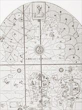
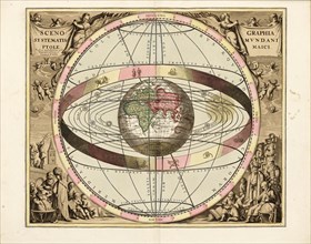
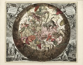
Cellarius' Scenographia Systematis Mundani Ptolema...
UMG21A21_004
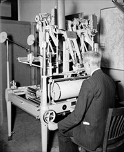
A worker using a planimetor, which measures the ex...
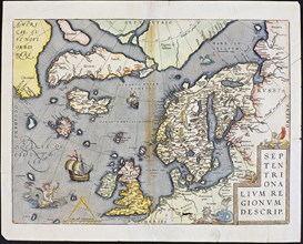
UMG21A22_218
Abraham Ortelius nordenkart, 1601 - Map of Norther...
UMG21A21_003
A worker is shown making a stereoscopic examinatio...
UMG21A22_215
Cellarius' Hæmisphærium Stellatum Boreale Antiqvum...
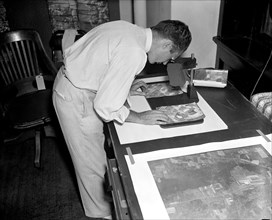
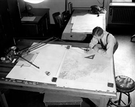
UMG21A21_002
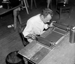
Map maker fitting together photos for the final ma...

UMG21A21_279
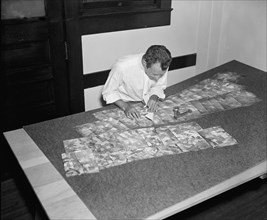
Geological Survey. Washington, D.C., March 13. Alb...
UMG21A22_216
Cellarius' Hæmisphærium Stellatvm Boreale cvm Subi...
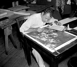
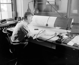
UMG21A21_001
A worker is shown inspecting a roll of film for fl...
UMG21A21_280
Geological Survey, Dept. Interior. Washington, D.C...
UMG21A22_213
Barentskartet, 1598.
UMG21A22_214
Cartographer Vibe og Irgens - Vibe og Irgens kart ...
UMG21A22_026
Map-making Division of Coast & Geodetic Survey, De...
UMG21A22_027
Map-making Division of Coast & Geodetic Survey, De...
UMG21A17_320
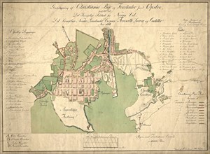
Canada Map 1762
UMG21A17_345
Map of the Pacific 1622
UMG21A14_141
Map by Spanish marine and cartographer Juan de la ...
UMG21A12_148
Martin Behaim
UMG21A08_312
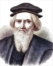
Peter Anich
UMG21A01_296
James Cook
UMG21A02_001
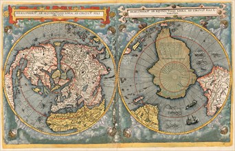
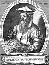
Gerardus Mercator

UMG20B37_202
The Catalan Atlas.

UMG20B38_181
Andreas Cellarius.
UMG20B38_187
Map of the Canary Islands and the west coast of Af...
UMG20B38_190
American west coast (Peru, Ecuador and Colombia).
UMG20B49_436
Martin Behaim
UMG20B49_432
Amerigo Vespucc
UMG20B36_187
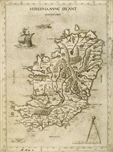
Hybernia Nunc Irlant. Ireland. Map.
UMG20B43_053
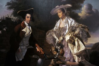
Peter Perez Burdett and his first wife Hannah.
UMG20B23_234
Leonardo di ser Piero da Vinci
UMG20B19_329
Regni Mexicani seu Novae Hispaniae
UMG20B20_338
Magic lantern slide circa 1900
UMG20B20_067
Magic lantern slide circa 1900
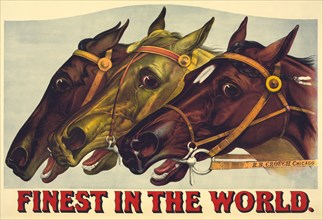
UMG20A49_041
Finest in the World 1885
UMG20A31_422
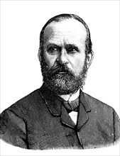
Ferdinand freiherr von richthofen
UMG20A31_433
Johann samuel heinrich kiepert
UMG20A34_424
Sebastian von rotenhan
UMG20A32_222
Mercator, gerard de kremer
UMG20A00_132
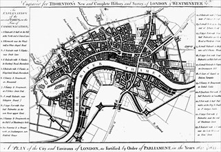
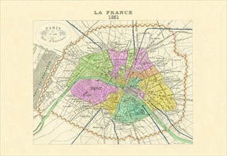
Paris - Capitale de la France 1850
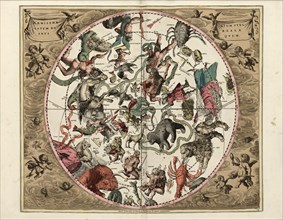
UMG20A00_004
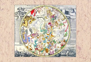
Northern Celestial Sky 1745
UMG20A00_034
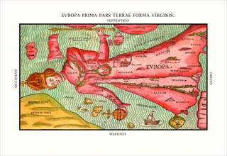
Europa Prima Pars 1580
UMG20A00_058
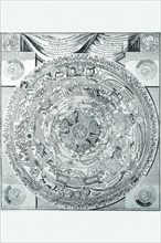
Orbis Terrarum Typus 1596
UMG20A00_164
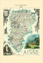
Aisne 1850
UMG20A00_151
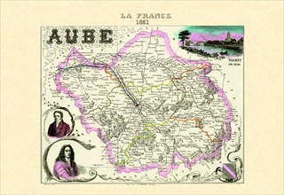
Aube 1850
UMG20A00_117
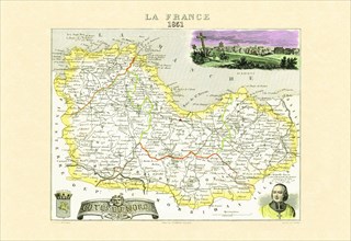
Cotes-du-Nord 1850
UMG20A00_178
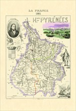
Hautes-Pyrenees 1850
UMG20A00_001
Celestial Sky #1 1700
UMG20A00_037
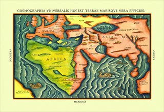
Cosmographia Universalis 1580
UMG20A00_148
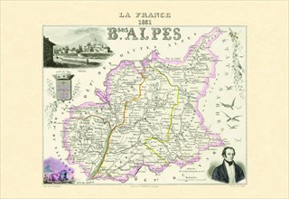
Bses Alpes 1850
UMG20A00_019
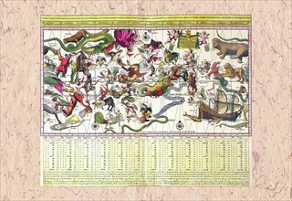
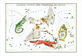
Cygnus and Adjacent Constellations 1825
UMG20A00_112
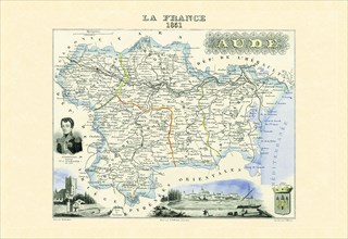
Aude 1850
UMG20A00_313
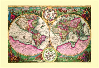
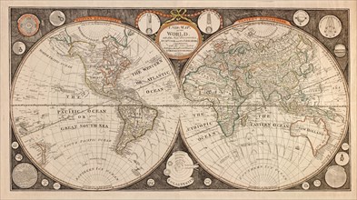
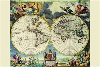
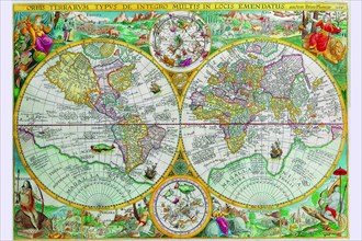
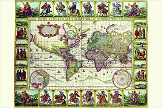
New map of the world : with all the new discoverie...
UMG20A00_055
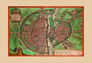
Lutiti Paris 1572
UMG20A00_161
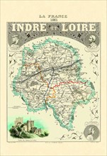
Indre-et-Loire 1850
UMG20A04_083
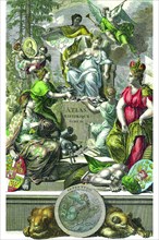
Atlas Frontispiece by Philip Kilian 1680
UMG20A04_094
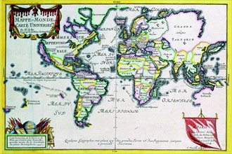
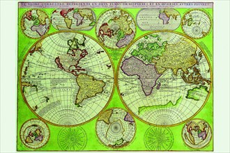
Mappe-Monde or Carte Universel 1724
UMG20A04_101
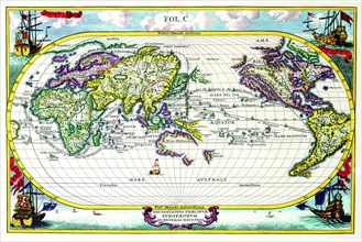
Stereographic Map of the World 1680
UMG20A04_114
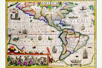
The Americas 1619
UMG20A04_127
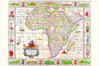
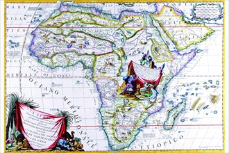
Africa 1690
UMG20A04_138
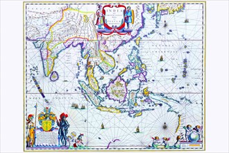
India & Southeast Asia 1650
UMG20A04_084
Celestial Map 1603
UMG20A04_093
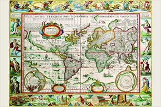
World Map 1599
UMG20A04_102
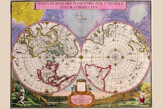
Novus Planiglobii Terrestris Per Utrumque Polum Co...
UMG20A04_113
Map of the Americas 1628
UMG20A04_128
Africa 1691
UMG20A04_137
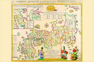
Prefectures & the Peoples of Japan 1727
UMG20A04_092
World Map of lands and waterways 1652
UMG20A04_104
Navigationes Precipae Europorum ad Exteras Natione...
UMG20A04_117
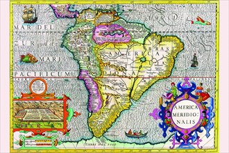
South America 1630
UMG20A04_125
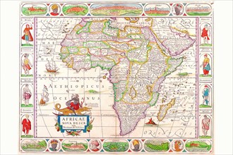
Africa 1658
UMG20A04_136
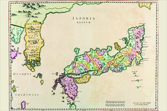
Japan & Korea 1655
UMG20A01_051
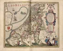
Netherlandic Lion 1622
UMG20A04_082
Historical Atlas Title Page 1719
UMG20A04_091
Stereographic World Map with Insets of Polar Proje...
- Page
-
- sur
- 3