1356 résultats pour : north coast
- Page
-
- sur
- 14
Connectez-vous pour plus de résultats
HRM26A27_240
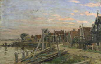
Study of wooden houses on a beach at sunset, (Holl...
HRM26A28_238
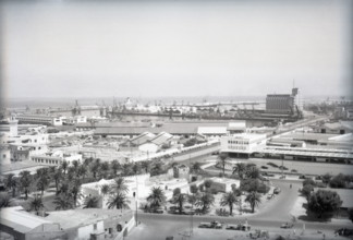
The Harbour, Casablanca, Morocco, c1955. Creator: ...
HRM26A27_462
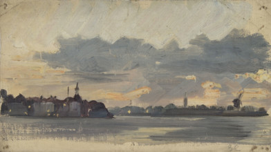
Sketch of a coastal town in Holland, early evening...
HRM26A27_412
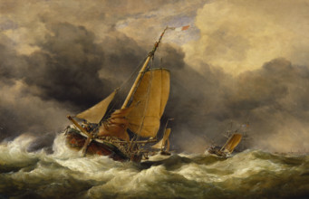
Scheveningen Pincks off the Coast of Yarmouth, 186...
HRM26A23_309
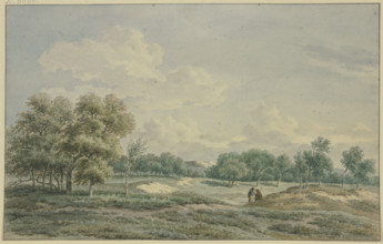
In t'Duin te Bloemendaal, 1801. Creator: Jan Evert...
HRM26A27_247
Study of a beach with a view out to sea and sailin...
HRM26A24_415
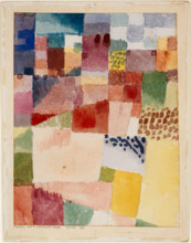
Motif from Hamammet, 1914. Creator: Paul Klee.
HRM26A15_170
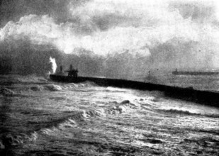
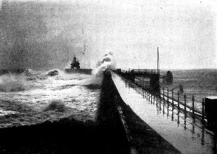
Tynemouth Jetty during the recent storm, 1898. Cre...
HRM26A15_372
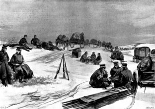
The Spanish-American War: one of the principal str...
HRM26A15_159
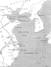
The Chinese Question: map showing positions of chi...
HRM26A15_438
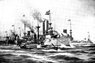
The Spanish-American War: vessels of the United St...
HRM26A15_371
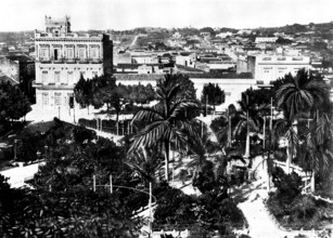
The Spanish-American War: the Public Gardens and a...
HRM26A10_294
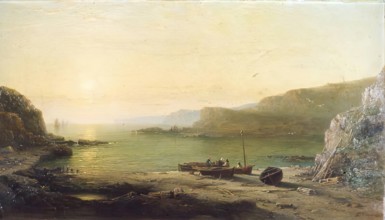
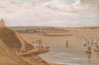
Entrance to the Harbour, Aberdeen, 1838. Creator: ...
HRM26A10_497
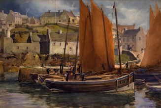
Drying the Sails, Portsoy, 1907. Creator: William ...
HRM26A15_183
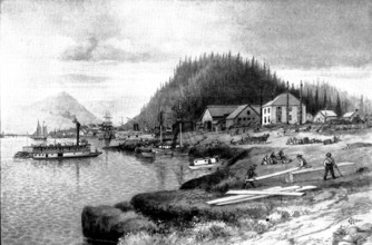
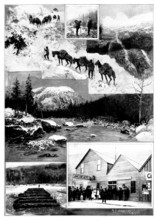
On the Way to Klondike: Fort Wrangel, at the mouth...
HRM26A15_370
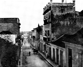
The Spanish-American War: near the quay, Matanzas,...
HRM26A15_067
On the Way to Klondike, 1898. Creator: Unknown.
HRM26A15_359
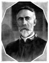
Rear-Admiral W. T. Sampson, Commander-In-Chief of ...
HRM26A14_389
Arrest of Englishmen by the Moorish Government: th...
HRM26A15_171
Tynemouth Jetty during the recent storm, 1898. Cre...
HRM26A15_369
The Spanish-American War: sugar-factory near the t...
HRM26A15_441
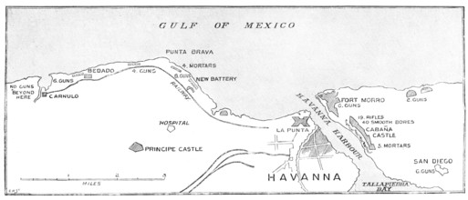
The Spanish-American War: the defences of Havana.....
HRM26A14_488
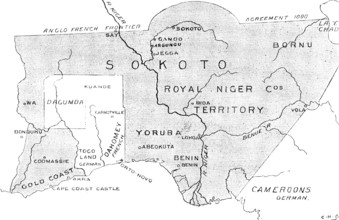
The French in West Africa: map with shaded portion...
HRM26A18_185
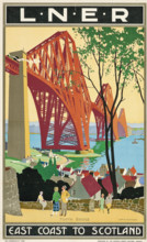
L.N.E.R: East Coast to Scotland, Forth Bridge, c19...
HRM26A15_156
The Chinese Question: the Treaty Port Chefoo - vie...
HRM26A14_237
The German cruiser "Deutschland," bound for Chines...
HRM26A16_072
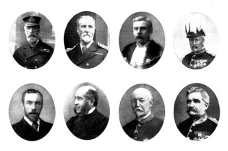
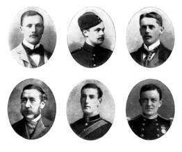
Various portraits, 1898. Creators: Unknown, Russel...
HRM26A15_116
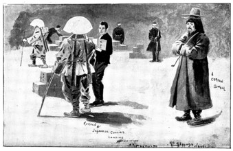
The Far East: Sketches in Korea, 1898. Creator: Un...
HRM26A20_395
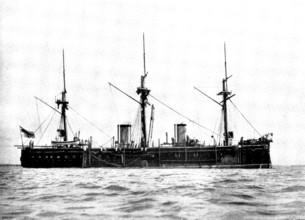
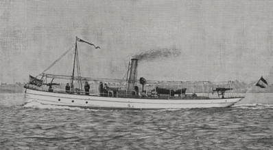
43-ton third-class gunboat "Ligera", which defeate...
HRM26A15_321
The Spanish-American War: Spanish outposts in Cuba...
HRM26A15_115
The Far East: Sketches in Korea, 1898. Creator: Un...
HRM26A14_236
The German cruiser "Gefion," bound for Chinese Wat...
HRM26A10_454
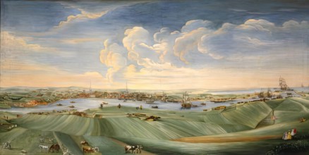
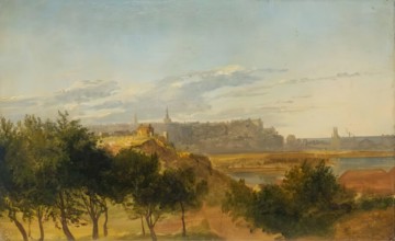
View of Aberdeen, 1756. Creator: William Mosman.
HRM26A15_368
The Spanish-American War: country residence outsid...
HRM26A15_157
The Chinese Question: view of Chefoo Bay, 1898. C...
HRM26A16_033
Six portraits, 1898. Creators: Unknown, Russel & C...
HRM26A14_490
French Aggressions in West Africa: types of French...
HRM26A16_034
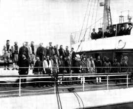
The Spanish-American War: the attempted landing of...
HRM26A10_308
Banff, (View from East Bank of River), c1840. Crea...

HRM26A15_425
The Spanish-American War:...Grand Canary Island......
HRM26A10_307
Peterhead, (View from the South showing Lighthouse...
HRM26A15_323
The Spanish-American War: the deadly Palmetto Swam...
HRM26A02_264
The Bridge of Don, Aberdeen, c1800-1830. Creator: ...
HRM26A03_310
Early Morning in the Wilderness of Shur, 1860. Cre...
HRM26A04_082
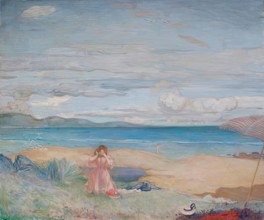
Robin Hood's Bay, c1944-1945. Creator: Ethel Walke...
HRM26A04_139
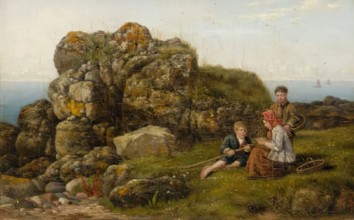
On the Cove Shore, 1867. Creator: James Cassie.
HRM26A04_227
Corrie, Arran, c1830s. Creator: Robert Houston.
HRM26A04_368
Montrose, 1888. Creator: George Reid.
HRM26A05_264
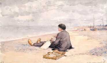
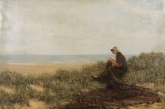
Sizewell - James McBey Sketching, 1914. Creator: M...
HRM26A08_051
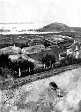
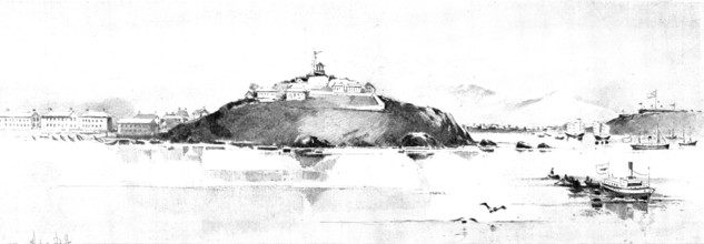
The War in Eastern Asia: Chefoo, as seen from the ...
HRM26A08_260
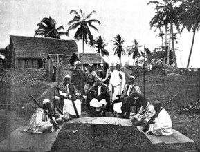
Sakalava Princes, north-west coast of Madagascar, ...
HRM26A09_208
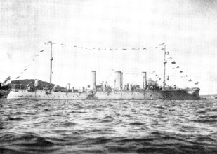
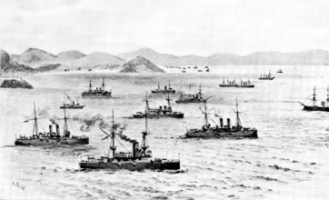
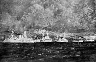
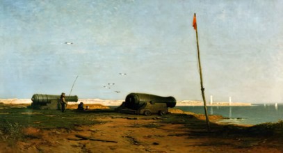
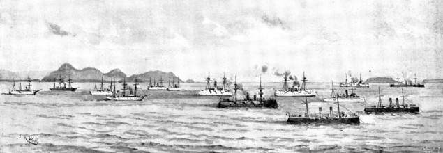
Ironclads of all nations in the Bay of Kiel during...
HRM26A00_062
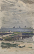
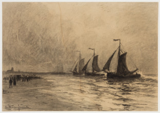
The Herring Fleet, Katwijk, c1860-1920. Creator: C...
HRM26A04_009
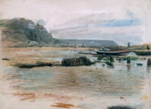
At Cove, 1861. Creator: James Cassie.
HRM26A04_138
Dunnottar Castle, 1857. Creator: James Cassie.
HRM26A04_285
Idling on the Sands, Forvie, 1882. Creator: Alexan...
HRM26A05_097
Aldeburgh Mill and Church, 1884. Creator: Thomas C...
HRM26A05_211
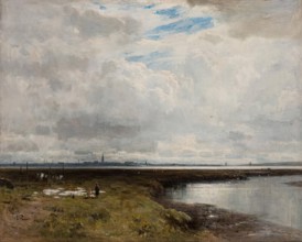
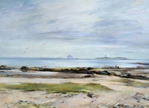
Stormy Weather, Moray Firth, 1875-1899. Creator: D...
HRM26A07_154
The Calpe Hunt, at Gibraltar, 1895. Creator: Josep...
HRM26A03_299
Canty Bay. Creator: David Farquharson.
HRM26A03_474
A Sunny Day in Winter, c1878. Creator: Allan James...
HRM26A04_051
On the Bents, Aberdeen, 1873. Creator: Archibald D...
HRM26A04_141
The Mouth of the Tay, 1871 - 1874. Creator: James ...
HRM26A05_280
Dunnottar Castle, Kincardineshire, c1822. Creator:...

HRM26A09_174
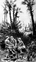
A Visit to Tafilet: landing in Saffi, 1895. Creato...
HRM26A02_380
Aberdeen, 1840. Creator: Unknown.
HRM26A04_283
The Sands, St Andrews, c1880-1920. Creator: Willia...
HRM26A04_338
The North Ford, Uist, 1894. Creator: Robert Weir A...
HRM26A05_155
Macduff near Banff - View from East Side of Harbou...
HRM26A05_263
Wells-on-Sea, c1946. Creator: Martin Hardie.
HRM26A08_048
The War in Eastern Asia: a scene on the road to We...
HRM26A03_171
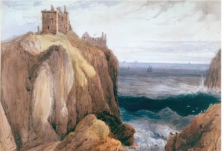
Wick, c1815. Creator: William Daniell.
HRM26A03_336
By the Shore, c1938. Creator: James Alexander Hay ...
HRM26A04_012
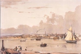
View of Aberdeen from the South, 1850-1870. Creato...
HRM26A04_363
On the Coast near Bervie, 1862. Creator: George Re...
HRM26A05_403
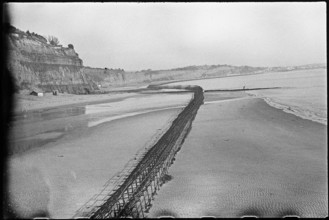
Looking north-east over the beach at Shanklin, sho...
HRM26A02_382
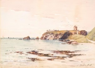
Slaines Castle, Peterhead (View Of Castle From The...
HRM26A04_074
The Ord of Caithness, 1896. Creator: Charles Conde...
HRM26A02_497
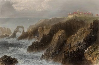
The Fortress of Fast Castle, (c1820s), c1889. Crea...
HRM26A04_091
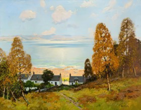
A Summer Day, Lossiemouth, 1900-1924. Creator: Dav...
HRM26A04_264
Westburn, c1827. Creator: William Dyce.
HRM26A05_284
Hunstanton Lighthouse, 1900-1920. Creator: Alfred ...
HRM26A04_099
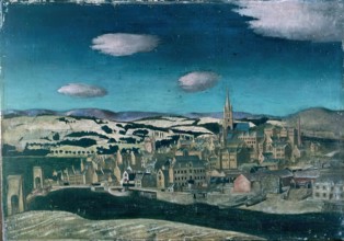
Monros, 1940. Creator: Edward Baird.
HRM26A04_411
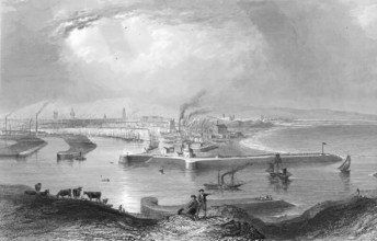
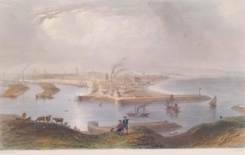
Aberdeen Harbour, 1897. Creator: David Farquharson...
HRM26A05_259
Coast Scene, Cullercoats, c1834. Creator: John Lin...
HRM26A05_312
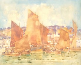
East Coast Harbour, c1890s. Creator: James Watters...
HRM26A05_360
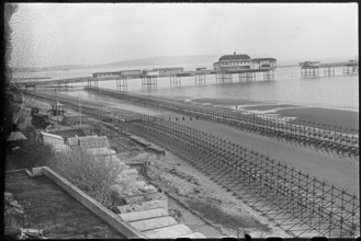
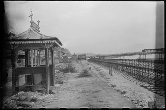
View looking north-east of Shanklin Beach, showing...
HRM26A05_404
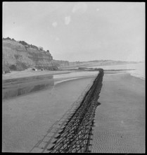
View along the Esplanade from beside a shelter, sh...
HRM26A08_052
The War in Eastern Asia: men-of-war anchored off C...
HRM26A09_207
Opening of the Kaiser Wilhelm Canal...: piping to ...
HRM26A05_296
Dunnottar Castle, c1890s. Creator: John Beattie Sc...
HRM26A05_406
View looking north-east from Shanklin Beach, showi...
HRM26A04_246
Kildonan, Arran, 1900-1924. Creator: James Lawton ...
HRM26A08_057
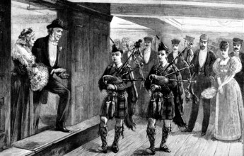
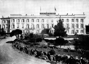
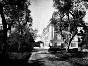
The Queen's Visit to Cimiez: Grand Hótel de Cimiez...
HRM26A04_166
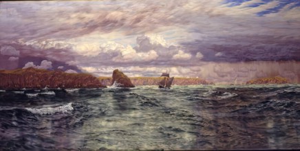
The Isles of Skomer and Skokholm, just outside Mil...
HRM26A04_177
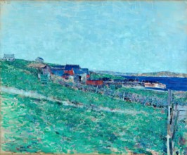
Curing Station, Whalsay Shetland, 1921. Creator: J...
HRM26A08_056
The Queen's Visit to Cimiez: Grand Hótel de Cimiez...
HRM26A02_356
Aberdeen - Views from the South Opposite the Toll ...
HRM26A04_086
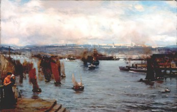
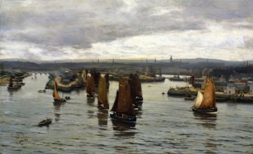
The Herring Fleet Leaving the Dee, Aberdeen, 1888....
HRM26A04_424
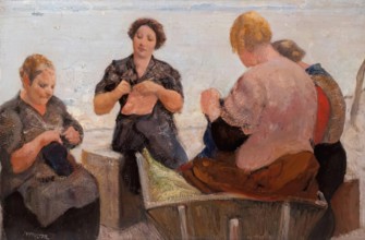
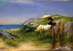
The Parasol, c1880s-1890s. Creator: Joseph Farquh...
- Page
-
- sur
- 14