Period

12 results for: maps marked

  • Page
  • of
  • 1
Please sign in for more results
Detailed map of a river bend with the surrounding meadows, Description of a general graphometer,
LZT26B25_299

Detailed map of a river bend with the surrounding ...

Siege of Bonn, Map of Bonn, as it was besieged by the Germans and the Allies on May 5, 1703, and
LZT26B29_160

Siege of Bonn, Map of Bonn, as it was besieged by ...

Map of Rome, the Holy Stairs, St. Peter's Basilica and the Lateran Baptistery, Monuments and
LZT26B30_255

Map of Rome, the Holy Stairs, St. Peter's Basilica...

Koblenz, an archiepiscopal city in Germany, Map of Koblenz, The Principal Fortifications &
LZT26B29_158

Koblenz, an archiepiscopal city in Germany, Map of...

Fortification map of Deventer, Deventer, area plan, print, Top left a river god. Top right the city
LZT26B32_481

Fortification map of Deventer, Deventer, area plan...

View of a weir in the Thames near Hurley, New Lock weir and Harleyford cliffs, photograph, page,
LZT26B07_171

View of a weir in the Thames near Hurley, New Lock...

Descriptio veteris agri Batavi et Frisii, Historical map of the Netherlands with the territories of
LZT26B34_042

Descriptio veteris agri Batavi et Frisii, Historic...

Photographic reproduction of a map of the Utrecht City Hall, photograph, reproduction, annotation:
LZT26A76_183

Photographic reproduction of a map of the Utrecht ...

Cartoon of Napoleon, 1813, cartoon, print, Caricature of Napoleon from 1813 in which his face is
LZT26A96_237

Cartoon of Napoleon, 1813, cartoon, print, Caricat...

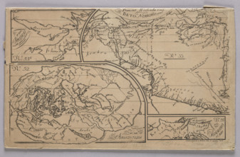
Graphic matrix with maps marked with numbers 32, 33, 33b and 33c made for the Atlas to J. Lelewel
LZT26A74_281

Graphic matrix with maps marked with numbers 32, 3...
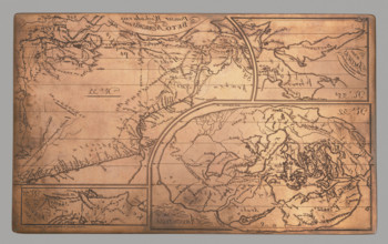
Graphic matrix with maps marked with numbers 32, 33, 33b and 33c made for the 'Atlas to J. Lelewel
LZT26A39_320

Graphic matrix with maps marked with numbers 32, 3...
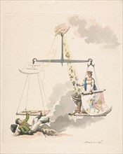
Balance of Europe, 1814, Derk Anthony van de Wart, 1814
LZT16A31_283

Balance of Europe, 1814, Derk Anthony van de Wart,...