Caption
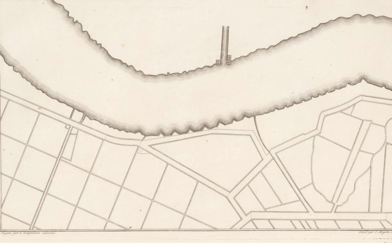
Detailed map of a river bend with the surrounding meadows, Description of a general graphometer, print, album page, book illustration, Series number, 12, Detailed map of a river bend with surrounding meadows. The image was drawn using a graphometer. Marked in the upper right: Plan XII. The print is part of the book: AG Eckhardt, 1778., printmaker: Cornelis Bogerts, Amsterdam, publisher: Jan Hendrik Munnikhuizen (possibly), The Hague, 1778, paper, engraving, etching, etching and engraving, height 221 mm x width 361 mm, maps, atlases, A monochrome map fragment showing a curved waterfront at the top with closely spaced wavy contour lines indicating the water edge, a straight pier jutting into the water with small rectangular structures at its base, and a geometric street grid below composed of straight roads forming rectangular and polygonal blocks with thin boundary lines and occasional curved pathways; the paper has a light aged tone with small scattered specks and faint vertical and horizontal borders along the edges.
Credit line
Photo12/Liszt Collection
Reference
LZT26B25_299
License type
Rights managed
Available size
41.6Mb (5.8Mb) / 16.2in x 10.0in / 4849 x 3001 (300dpi)