Caption
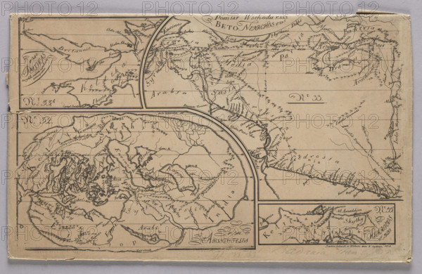
Graphic matrix with maps marked with numbers 32, 33, 33b and 33c made for the Atlas to J. Lelewel of Antiquity Research in Respect of Geography; Lelewel, Joachim (1786–1861), graphic artist; Gieysztor, Helena (1859–1934), illustrations; maps, world maps, 1818, Vilnius; graphics, graphic plate; height 19.7 cm, width 32.5 cm, A vintage printed map sheet on aged beige paper with dark brown ink lines and markings, showing several inset map panels separated by bold curved and straight borders; the sheet has a worn paper edge and small tears along the left and bottom margins, and faint creases and spots across the surface. The map panels contain hand-drawn coastlines, mountain-like hachures, river-like branching lines, and numerous small scribble-like markings representing geographic details. There are several small framed map inserts including one narrow horizontal panel at the top left, a large curved-central panel, and a rectangular panel at the lower right. The overall palette includes beige paper, dark brown printed ink, and subtle darker smudges; the borders and decorative flourishes are in the same dark brown ink.
Credit line
Photo12/Liszt Collection
Reference
LZT26A74_281
License type
Rights managed
Available size
67.1Mb (8.6Mb) / 20.0in x 13.0in / 6000 x 3907 (300dpi)