135 résultats pour : maps and charts
- Page
-
- sur
- 2
Connectez-vous pour plus de résultats
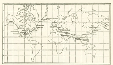
UMG25A05_438
The image dates to the early 1920s. Around the wor...
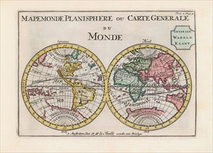
UMG23A62_334
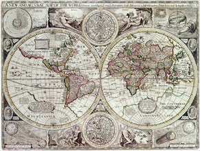
World map dating from the late 17th or early 18th ...
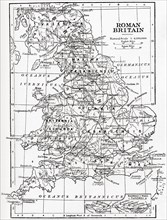
UMG23A58_459
Map of Roman Britain showing the area of the islan...
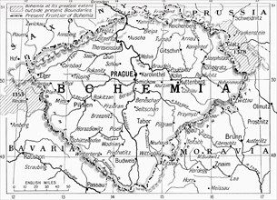
UMG23A59_110
Map of Bohemia at the outbreak of WWI.
UMG23A62_270
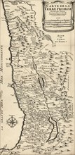
French map from 1720 of Palestine.
UMG23A61_061
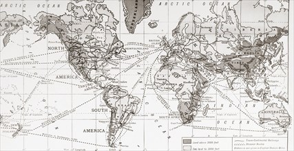
Physical map of the world.
UMG23A62_411
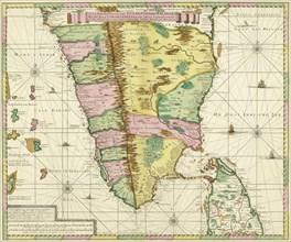
Map of Southern India and Ceylon.
UMG23A58_312
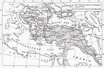
Map of Turkey at the outbreak of WWI.
UMG23A58_351
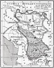
Map of Serbia at the start of WWI.
UMG23A60_172
The sea chart of Juan de la Cosa.
UMG23A65_271
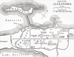
Map of ancient Alexandria.
UMG23A64_337
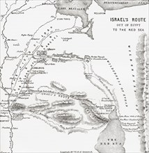
Map Showing The Israelites Route To The Red Sea Du...
UMG23A65_206
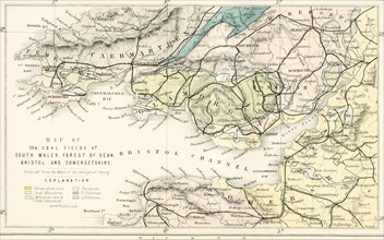
Map showing the coalfields of South Wales.
UMG23A65_205
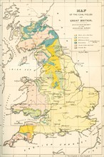
Map showing the coalfields of Great Britain in the...
UMG23A00_243
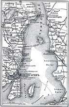
Map of Copenhagen.
UMG23A02_037
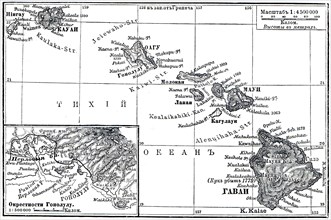
Map of Archipelago Hawaii.
UMG23A02_072
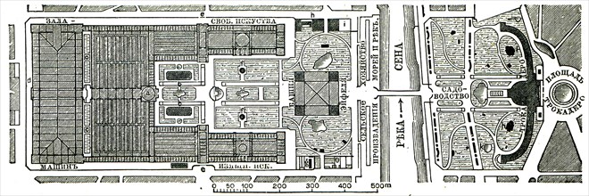
Paris Exhibition.
UMG23A02_073
Vienna Exhibition.
UMG23A02_038
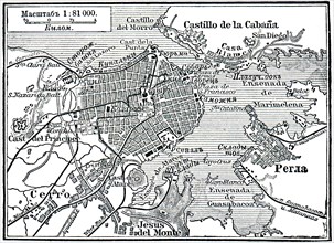
Plan of La Habana.
UMG23A02_039
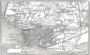
Plan of Le Havre.
UMG23A02_068
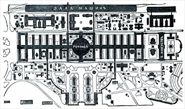
Berlin Exhibition.
UMG23A02_069
Paris Exhibition.
UMG23A02_070
Paris Exhibition.
UMG23A02_071
Paris Exhibition.
UMG22A69_244
The Carwitham Plan and Char.
UMG22A67_372
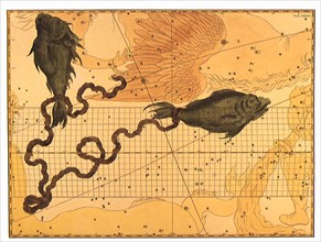
Pisces.
UMG22A66_357
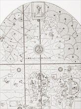
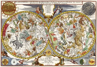
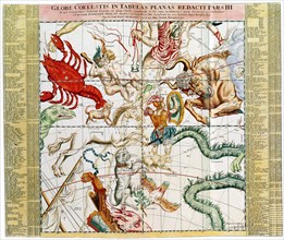
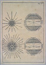
Celestial Chart
UMG22A67_403
Durer's Star Charts.
UMG22A69_245
The Tiddeman Chart.
UMG22A65_272
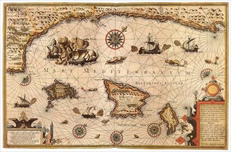
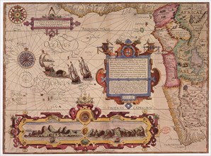
Mediterranean Sea, 1595
UMG22A67_405
Ottens' Regional Sky Chart.
UMG22A67_404
Apian's Star Chart.
UMG22A69_162
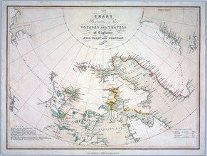
Chart of the South Atlantic.
UMG22A65_273
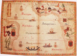
West Africa, 1596
UMG22A66_146
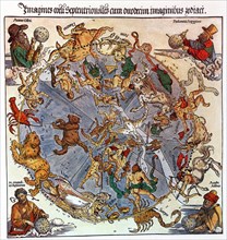
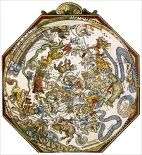
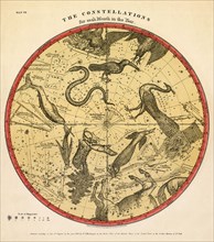
Constellation Chart
UMG22A56_124
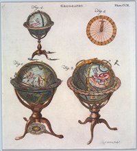
Géographie
UMG22A54_026
Géographie

UMG22A54_027
Géographie

UMG22A55_228
Géographie
UMG22A54_388
Géographie
UMG22A56_204
Géographie
UMG22A54_471
Géographie
UMG22A55_078
Géographie
UMG22A54_393
Géographie

UMG22A54_020
Géographie

UMG22A54_025
Géographie

UMG22A54_494
Géographie
UMG22A55_004
Géographie

UMG22A55_036
Géographie

UMG22A55_075
Géographie
UMG22A56_119
Géographie
UMG22A55_072
Géographie

UMG22A56_200
Géographie
UMG22A55_250
Géographie
UMG22A55_073
Géographie
UMG22A56_118
Géographie
UMG22A54_028
Géographie
UMG22A54_397
Géographie

UMG22A55_067
Géographie
UMG22A54_391
Géographie

UMG22A54_499
Géographie
UMG22A54_340
Géographie
UMG22A55_066
Géographie
UMG22A57_424
Géographie
UMG22A54_032
Géographie
UMG22A54_003
Géographie
UMG22A54_004
Géographie

UMG22A55_074
Géographie

UMG22A54_035
Géographie

UMG22A55_077
Géographie
UMG22A28_370
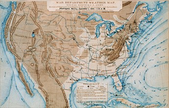
An early Signal Service weather map from September...
UMG22A29_294
Vintage Maps / Antique Maps - An exact chart of th...
UMG22A30_053
Vintage Maps / Antique Maps - To His Royal Highnes...
UMG22A20_477
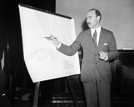
Man pointing to a map chart
UMG22A20_140
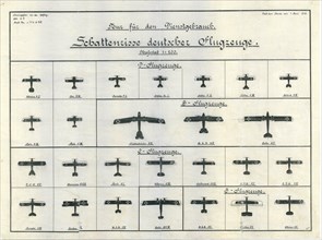
German Aircraft Recognition Chart June 1918
UMG22A06_497
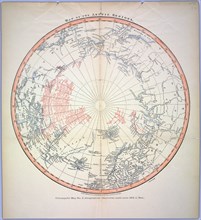
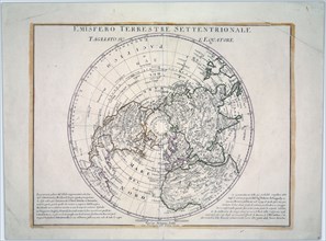
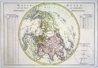
World map on the plane of the equator. Northern He...

UMG22A07_161
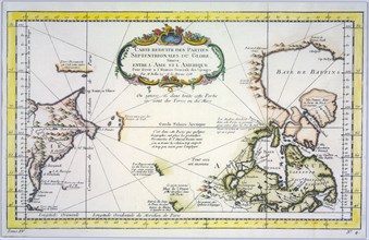
Reduced map of the northern parts of the world
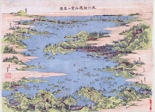
UMG22A07_247
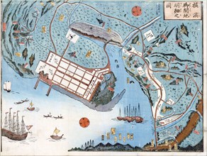
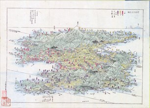
Panoramic view of the mountains and rivers of Sado...

UMG22A06_449
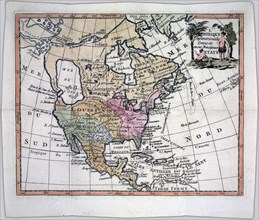
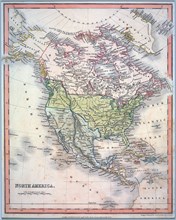
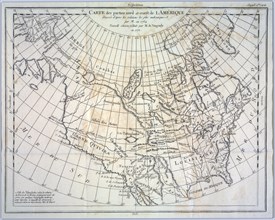
North America divided into its principal nations

UMG22A06_496
A new map of North America agreeable to the latest...
UMG22A06_344
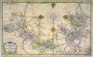
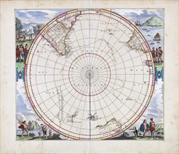
Polus Antarcticus Terra Australis Incognita / Henr...

UMG22A06_354
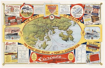
The Port of Hobart the finest deep
UMG22A06_362
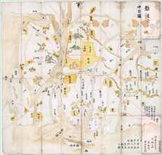
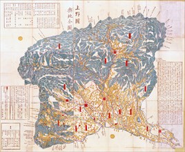
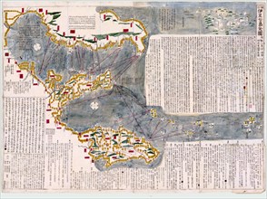
Geographical map of Kozuke Province
UMG22A06_422
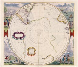
Terra Australis Incognita
UMG22A06_490
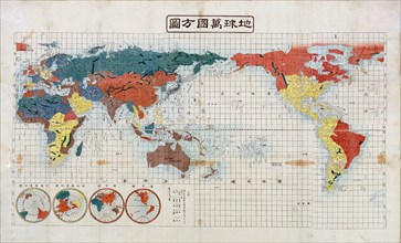
Square map of all the countries on the globe

UMG22A06_485
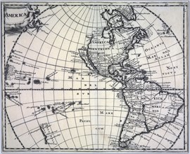
Vintage map of America ca. 1697

UMG22A07_155
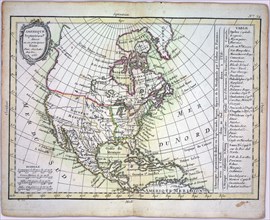
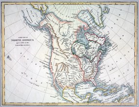
Hand coloured map of North America ca. 1836

UMG22A06_412
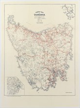
Tourist map of Tasmania ca. 1932
UMG22A06_443
Panoramic view of Shiogama and Matsushima, Mutsu P...
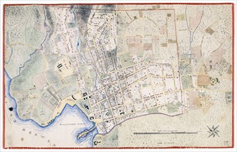
UMG22A06_480
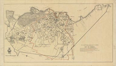
Hobart Town Map

UMG22A06_486
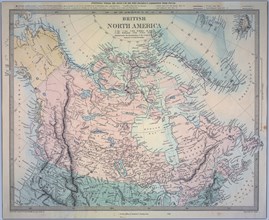
British North America Map

UMG22A07_154
Detailed map of the developed port of Yokohama
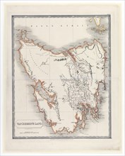
UMG22A06_349
Van Diemen's Land Map ca. 1828

UMG22A06_479
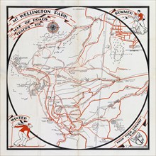
Mt. Wellington Park map of roads, tracks, etc. ca....

UMG22A06_288
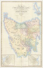
Map of Van Diemen's Land
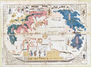
UMG22A06_488
Map of all the countries of the world and pictures...
UMG22A06_436
Revised and enlarged map of the Izu Seven Islands
UMG22A06_495
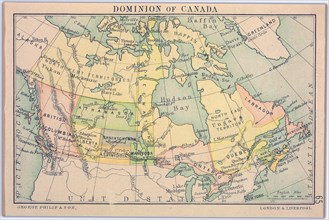
Dominion of Canada Map
UMG21A22_468
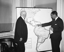
R. Walton Moore, Assistant Secretary of State, lef...
UMG21A17_251
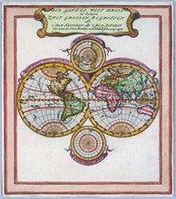
The World
- Page
-
- sur
- 2