20 résultats pour : archival cartography
- Page
-
- sur
- 1
Connectez-vous pour plus de résultats
UMG24A16_123
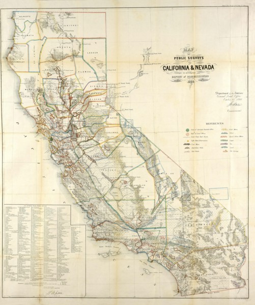
California Resources Map In 1866

UMG22A54_081
Illustration
UMG22A24_363
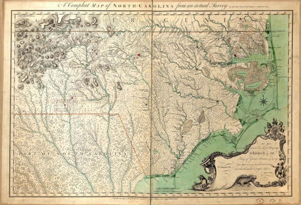
Vintage Maps / Antique Maps - A compleat map of No...
UMG22A29_400
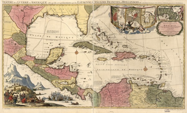
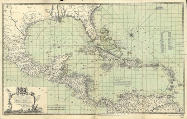
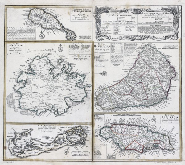
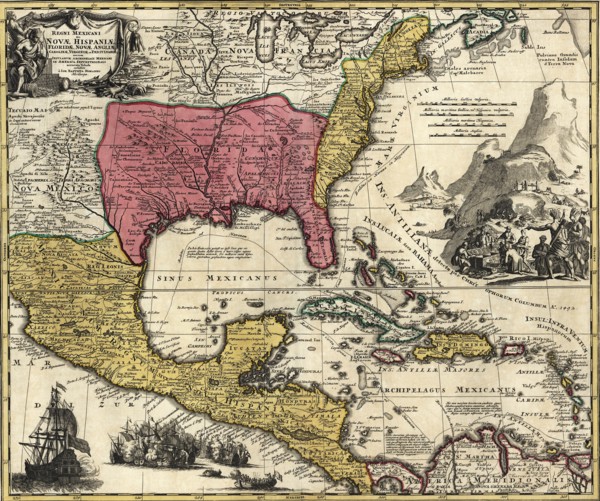
Vintage Maps / Antique Maps - Mexico, Cuba, Caribb...
UMG22A32_376
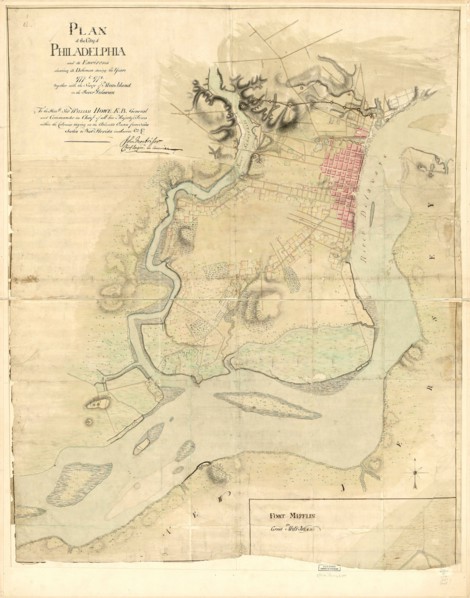
Vintage Maps / Antique Maps - Map of the city of P...
UMG22A24_353
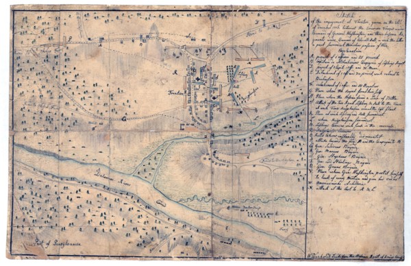
Vintage Maps / Antique Maps - Sketch of the engage...
UMG22A26_052
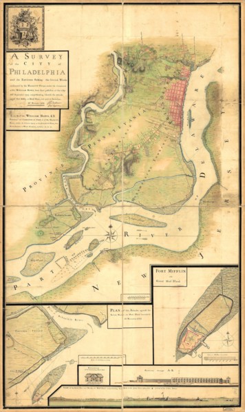
Vintage Maps / Antique Maps - A survey of the city...
UMG22A30_052
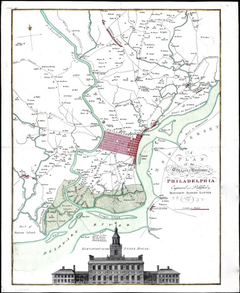
Vintage Maps / Antique Maps - A map of the city an...
UMG22A30_053
Vintage Maps / Antique Maps - To His Royal Highnes...
UMG22A30_104
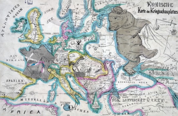
Vintage Maps / Antique Maps - ca. 1759 maps of var...
UMG22A05_426
Antique map
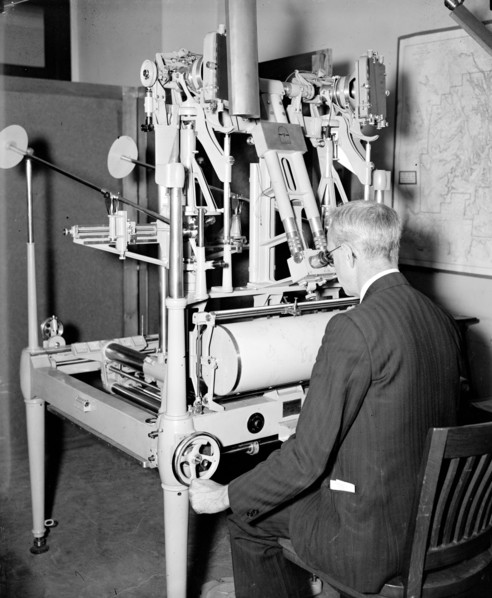
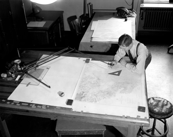
UMG21A21_004
A worker using a planimetor, which measures the ex...
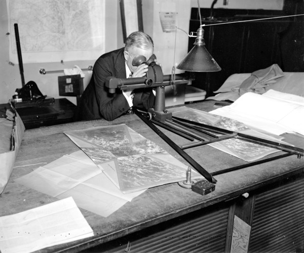
UMG21A21_003
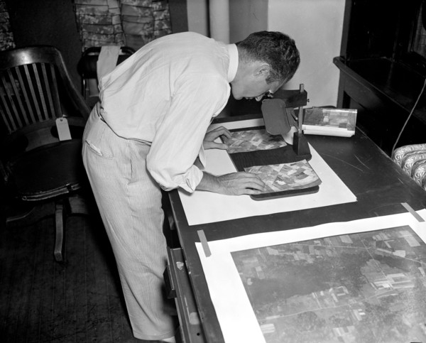
A worker is shown making a stereoscopic examinatio...
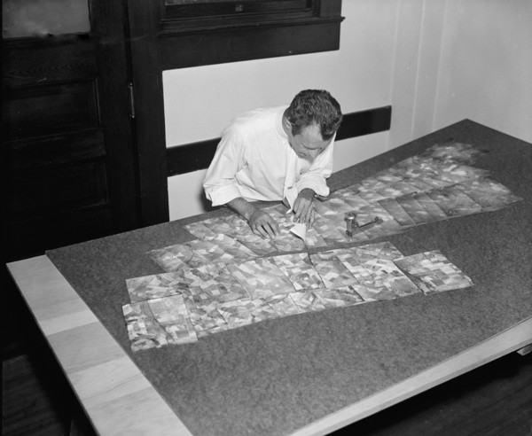
UMG21A21_002
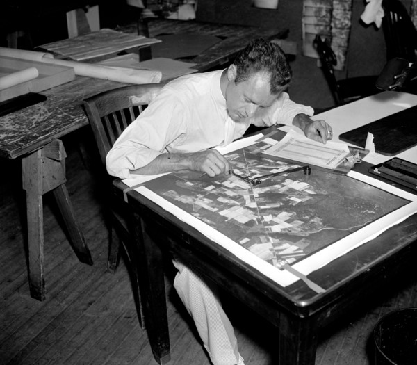
Map maker fitting together photos for the final ma...
UMG21A21_279
Geological Survey. Washington, D.C., March 13. Alb...
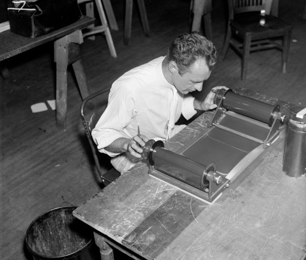
UMG21A21_001
A worker is shown inspecting a roll of film for fl...
UMG21A21_280
Geological Survey, Dept. Interior. Washington, D.C...
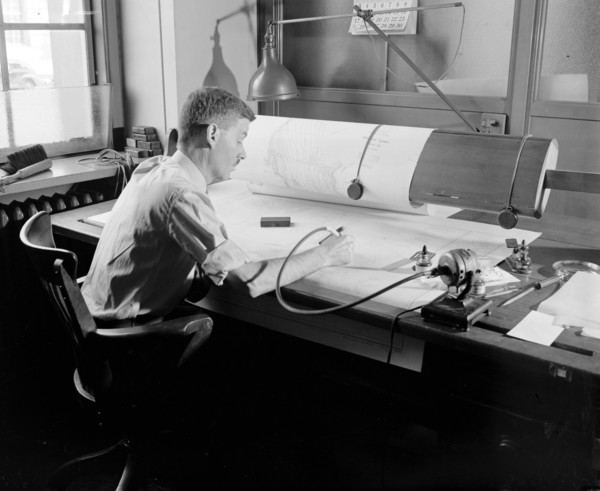
UMG21A22_026
Map-making Division of Coast & Geodetic Survey, De...
UMG21A22_027
Map-making Division of Coast & Geodetic Survey, De...
UMG20B19_329