46 résultats pour : map showing
- Page
-
- sur
- 1
Connectez-vous pour plus de résultats
LZT26A74_457
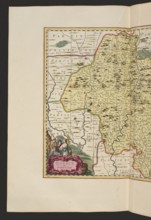
Atlas Silesiae id est Dvcatvs Silesiae generallite...
LZT26A40_290
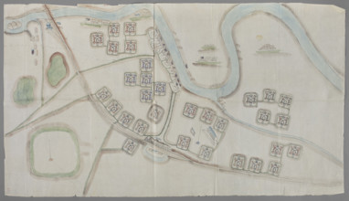
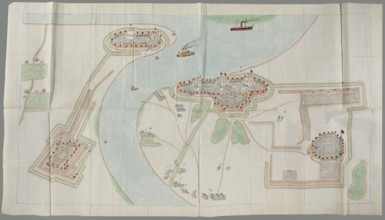
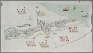
Fortification plan; graphic artist; Chinese art; C...
LZT26A74_456
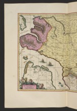
Carte de la Pologne, divisée par provinces et pala...
LZT26A40_289
Fortification plan; graphic artist; Chinese art; C...
LZT26A40_066
Atlas contenant les cartes générales suivant la co...
LZT26A74_458
Atlas Silesiae id est Dvcatvs Silesiae generallite...
LZT26A74_455
Carte de la Pologne, divisée par provinces et pala...
LZT26A39_321
Map of Europe by Joachim Lelewel (1786–1861), grap...
LZT26A74_281
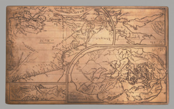
Graphic matrix with maps marked with numbers 32, 3...
LZT26A40_288
Fortification plan; graphic artist; Chinese art; C...
LZT26A39_320
Graphic matrix with maps marked with numbers 32, 3...

LZT26A39_383
Allard, Hugo (1620–1684), cartographer; Wit, Frede...
LZT26A06_312
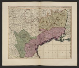
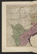
Praefectura generalis Languedociae olim Occitania ...
LZT26A06_304
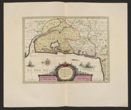
La Riviere de la Garomne et la Dordogne et la pays...
LZT26A06_295
Aurelianensis Praefectura generalis in qua partili...
LZT26A06_303
Le Diocese de Sarlat = Diocesis Sarlatensis; Piete...
LZT26A15_486
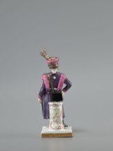
Figurine of an officer of the Polish Guard, Koenig...
LZT26A06_313
Praefectura generalis Languedociae olim Occitania ...
LZT26A16_473
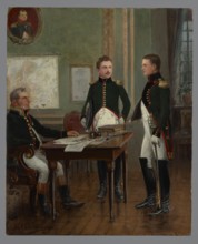
Artillery and Engineering Application School; Prof...
LZT26A06_305
La Riviere de la Garomne et la Dordogne et la pays...
LZT26A06_308
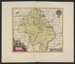
Quercy olim Cadurcium; Gerard Valck 1651/1652–1726...
LZT26A06_298
La Saintonge vers le Midy auecq. le Brovageais, te...
LZT26A06_299
Bovrdelois, Pays de Médoc et la prevosté de Born; ...
LZT26A06_309
Quercy olim Cadurcium, Valck, Gerard 1651 aut 1652...
LZT19B46_412
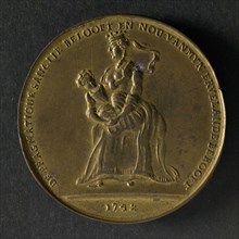
Spot medal on the Pragmatic Sanction in Austria, w...
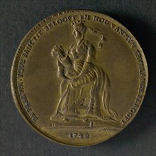
LZT19B46_411
Spot medal on the Pragmatic Sanction in Austria, w...
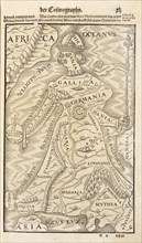
LZT19B35_124
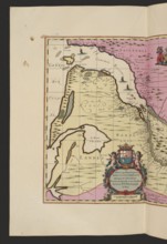
Map showing Germania, with adjacent countries and ...
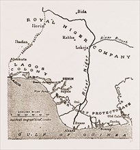
LZT16A10_427
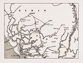
MAP SHOWING THE SITUATION OF BENIN
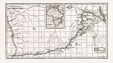
LZT16A08_028
LIEUTENANT CAMERON'S MAP OF CENTRAL AFRICA: SHOWIN...
LZT16A10_456
THE ADVANCE ON BENIN: MAP SHOWING THE ROUTE OF THE...
LZT16A11_399
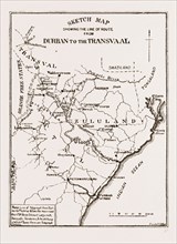
SKETCH MAP SHOWING THE ROAD FROM DURBAN TO THE TRA...
LZT16A01_303
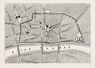
PART OF MODERN LONDON, MAP, SHOWING THE ANCIENT WA...
LZT16A01_402
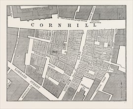
Map showing the extent of the Great Fire in Cornhi...
LZT16A00_222
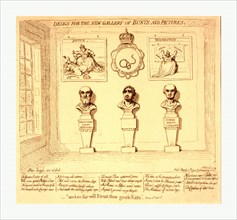
Design for the new gallery of busts and pictures, ...
LZT16A27_387
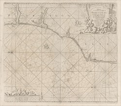
Sea chart of a portion of the south coast of Portu...
LZT13A43_256
MAP OF NORTH-EAST CHINA, SHOWING THE GULF OF PECHI...
LZT13A20_115
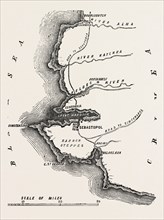
THE CRIMEAN WAR: MAP SHOWING SEBASTOPOL, 1854
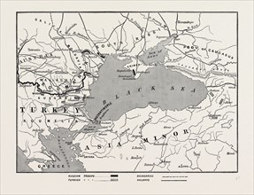
LZT13A16_004
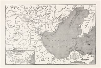
THE IMPENDING WAR, MAP OF TURKEY AND SOUTHERN RUSS...
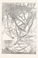
LZT13A20_160
THE CRIMEAN WAR: MAP OF SEBASTOPOL AND BALAKLAVA, ...
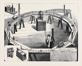
LZT13A25_475
PROFESSORS AYRTON AND PERRY'S NEW ELECTRIC RAILWAY...
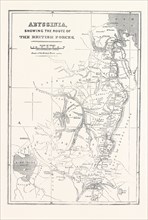
LZT13A09_129
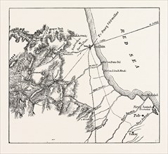
ABYSSINIA, SHOWING THE ROUTE OF THE BRITISH FORCES...
LZT13A21_268
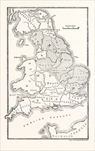
MAP OF ENGLAND SHOWING THE ANGLO-SAXON KINGDOMS AN...
LZT13A15_167
MAP SHOWING THE PLACE WHERE BAKER PASHA WAS DEFEAT...
LZT13A23_266
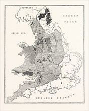
A MAP SHOWING THE GEOLOGICAL POSITION AND COMMERCI...
LZT13A15_193
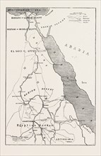
THE REBELLION IN THE SOUDAN (SUDAN): MAP SHOWING U...
LZT13A20_231