Légende
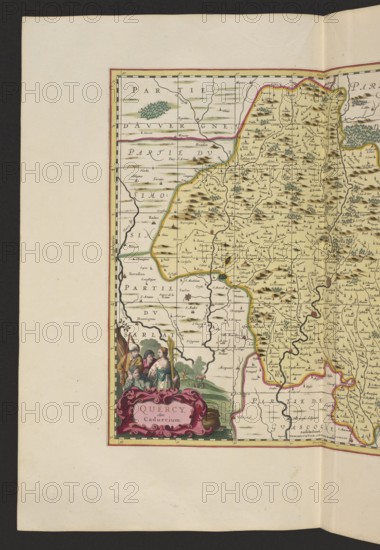
Quercy olim Cadurcium, Valck, Gerard 1651 aut 1652-1726 publisher, Schenck, Pieter 1660-1711 publisher, cartography, France, Cahors France, map, 1711, Amsterdam, height 43.3 cm, width 47.7 cm, A portion of an antique map sheet showing the left half of a detailed map panel with hand-colored boundaries and terrain markings; the map area has a pale yellow background with shaded brown hills, clusters of green trees, and thin winding dark lines for roads or rivers, while some border lines are outlined in pink and yellow. Along the left edge is a wide pale beige margin and a narrow decorative border in red and yellow framing the map. In the lower left corner there is an ornate cartouche in deep pink with decorative scrollwork, set against a small scene of a group of several people wearing period clothing in muted colors including green, blue, brown, and off-white, with a green landscape behind them. The map contains many small dark script-like marks and tiny pictorial symbols scattered over the pale yellow map field.
Crédit
Photo12/Liszt Collection
Notre référence
LZT26A06_309
Licence
Droits gérés
Format disponible
71.2Mo (5.9Mo) / 35.1cm x 50.8cm / 4145 x 6000 (300dpi)