18 résultats pour : great chart
- Page
-
- sur
- 1
Connectez-vous pour plus de résultats
HRM25A33_056
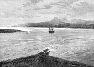
The Ocean Depth Exploring Voyage: H.M.S. Challenge...
HRM25A14_492
Chart of the Atlantic Ocean, c1535-1542. The map i...
HRM25A16_225
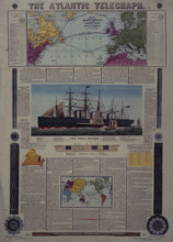
Bacon's Chart of the Atlantic Telegraph, 1866. Map...
HRM25A15_428
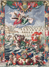
Frontispiece of Mortier's "Neptune François", 1693...
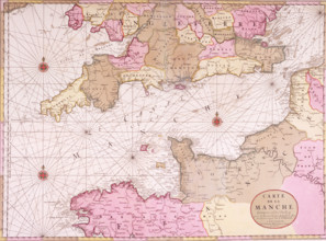
HRM25A15_430
Map of the English Channel, 1693. 'Carte de la Man...
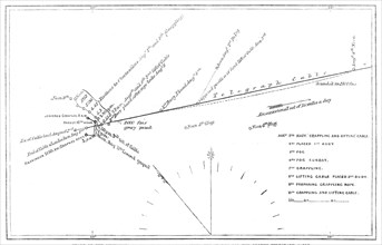
HRM24A26_311
The Atlantic Telegraph Expedition: chart of the mo...

HRM24A15_129
Testimonial to Major-General Sir Andrew Scott Waug...
HRM24A09_253
Path of the comet now visible, 1862. Creator: Unk...

HRM23B24_283
The Sailors' Home at Great Yarmouth, 1861. Creator...

HRM23A56_422
Centre-piece of the Wilcox and Anderson Services o...
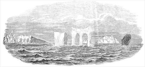
HRM22B07_452
Passage of the Ship "Medway" through Icebergs, on ...
HRM19E81_388
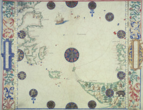
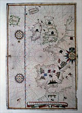
Atlas of Joan Martines, Messina, 1582. Portulan ch...
HRM19D86_306
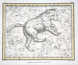
The Constellations (Plate VI) Ursa Major, from A C...
HRM19D86_320
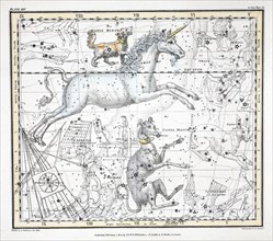
The Constellations (Plate XXV, 1822.
HRM19D86_322
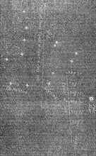
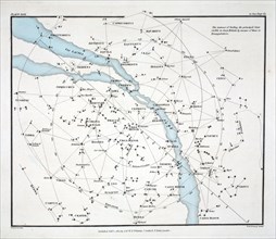
Map showing the principal stars which are visible ...
HRM19B63_285
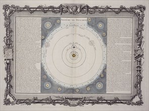
Systeme de Descartes, 1761. Artist: Rene Descartes

HRM19B41_215
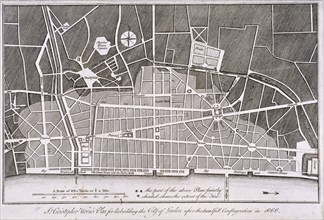
Godinton Park, Great Chart, Kent, 2017
HRM19A94_497