17 résultats pour : topographic
- Page
-
- sur
- 1
Connectez-vous pour plus de résultats
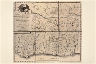
UMG23A66_386
Carte géographique du 19e siècle
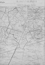
UMG22A33_182
Part of the topographic map of 1892 of the IGM wit...
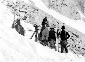
UMG22A33_045
In this photo, taken in August 1905, we see a USGS...
UMG21A17_272
Willes Estate

UMG21A17_215
Willes Estate
UMG21A17_237
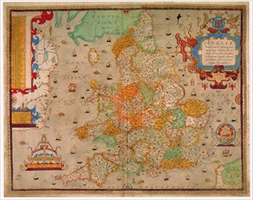
England
UMG21A15_285
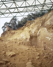
Archeological Site of Atapuerca. 'Railway Trench'.
UMG20A74_102
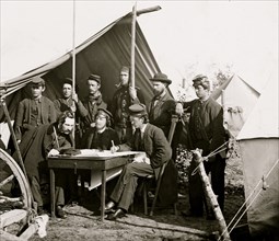
Yorktown, Virginia (vicinity). Topographical Engin...
UMG20A16_080
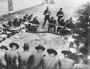
Learning Aeroplane Observation

UMG20A12_341
Aerocartograph Mapping
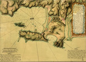
UMG20A01_384
Topographic Map of Concepcion Bay Chile -1782 1782
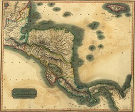
UMG20A01_392
Spanish Central America 1816
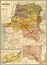
UMG20A02_120
Belgian Congo - 1896 1896
UMG20A01_391
States of Central America - 1862
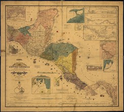
UMG20A01_390
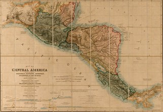
Topographic Map of Central America - 1850 1850
UMG20A03_476
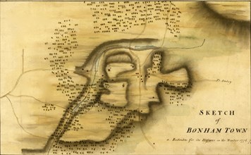
Bonham Town, new Jersey - 1777
UMG20A03_180