104 résultats pour : map
- Page
-
- sur
- 2
Connectez-vous pour plus de résultats

GLS23A02_012
Two hands holding vintage globe of earth
GLS22A06_447
Map I
GLS22A06_464
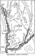
The Region About Nineveh
GLS22A07_003
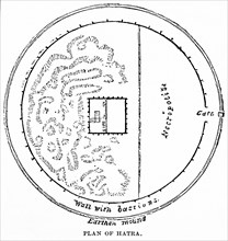
Plan of Hatra
GLS22A06_490
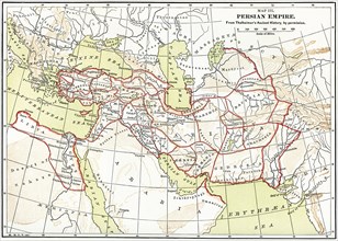
Persian Empire Map
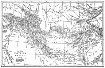
GLS22A07_001
Map of the Parthinian Empire
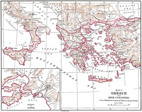
GLS22A07_028
Map V
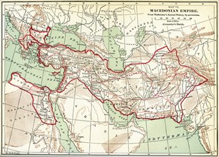
GLS22A07_038
Map VI. Macedonian Empire

GLS22A04_344
Map Reader
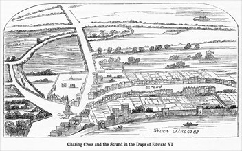
GLS22A05_317
Charing Cross and Strand
GLS22A05_321
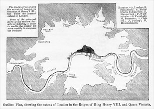
Outline Plan showing the extent of London

GLS22A00_076
Malaria Poster in small Hotel Room

GLS21A03_092
students, children, school, rural, historical,
GLS21A00_075
Map XVII
GLS21A00_238
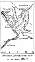
Battles of Trenton and Princeton
GLS21A00_089
Map XIX
GLS20A04_113
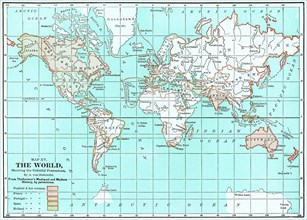
Map XV
GLS20A04_054
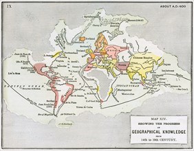
Map XIV showing the progress of Geographical Knowl...
GLS20A04_053
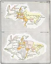
VII Map of Europe
GLS20A04_038
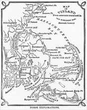
Norse Explorations
GLS20A04_128
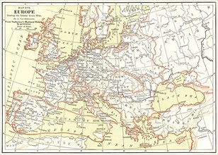
Map XVI

GLS20A04_052
Gerardus Mercator
GLS20A04_055
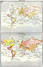
X Map of the World about A.D. 1700
GLS20A01_180
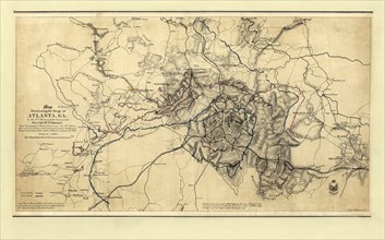
Map illustrating the Siege of Atlanta
GLS20A02_306
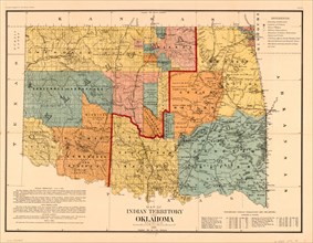
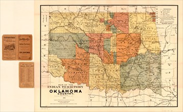
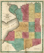
Map of Indian Territory and Oklahoma
GLS20A02_305
Map of the Indian Territory showing Oklahoma Count...
GLS20A00_034
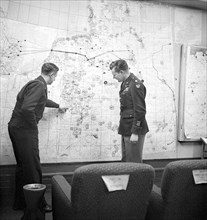
military, officers, headquarter, American, WWII, W...
GLS20A00_035
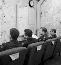
military, officers, headquarter, American, WWII, W...
GLS19A07_016
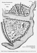
Christian Constantinople, Bird’s eye View 1711, Il...
GLS19A07_080
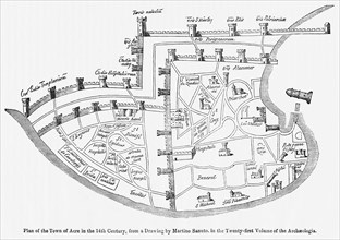
Plan of the Town of Acre in the 14th Century, from...
GLS19A10_179
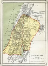
Map of Palestine, early 1800's
GLS19A10_178
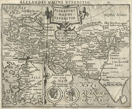
Alexandri Magni Expeditio., Map of Alexander the G...
GLS19A05_439
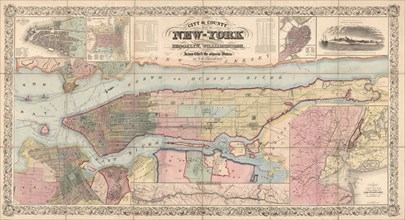
City and County Map of New York, Brooklyn, William...
GLS19A05_186
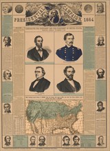
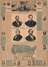
Candidates for President and Vice-President of the...
GLS19A05_440
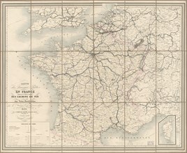
Map of public works in France including the comple...
GLS19A05_441
Map of the County of Erie, by David H. Burr, Publi...
GLS19A06_101
Presidential Campaign, 1864, Candidates for Presid...
GLS19A05_442
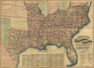
Lloyd's Map of the Southern States showing all the...
GLS19A05_297
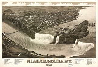
Perspective Map, Niagara-Falls, NY, 1882, Publishe...
GLS19A05_436
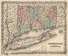
Map of Connecticut with Portions of New York and R...
GLS19A05_435
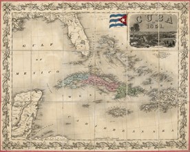
Map of Cuba, Published by J.H. Colton & Co., New Y...
GLS19A05_434
Colton's map of the seat of war in Virginia, Publi...
GLS19A05_433
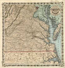
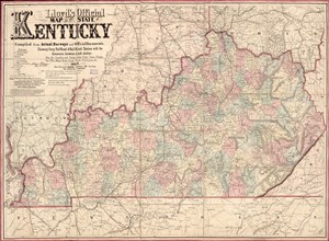
Lloyd's official map of the State of Kentucky, Pub...
GLS19A05_230
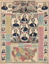
Political Chart, Presidential Campaign, 1860
GLS19A06_106
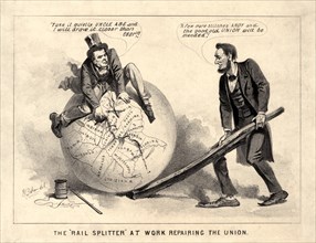
The "Rail Splitter" at Work Repairing the Union", ...
GLS19A05_438
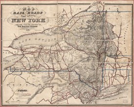
Map of the Rail-Roads of the State of New York, Pr...
GLS19A06_181
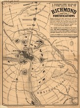
A Complete Map of Richmond and its Fortifications,...
GLS19A05_437
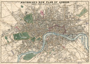
Whitbread's New Plan of London, Drawn from Authent...
GLS19A06_180
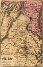
Bacon's Large Print War Map showing 50 miles round...

GLS19A06_384
Indian Territory, Department of the Interior, Gene...
GLS19A03_105
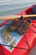
Water Shoes and Map Strapped to Kayak, Close-Up

GLS19A04_443
Man with Globe

GLS19A04_444
Man in Suit with Globe
GLS19A01_216
Bird's Eye View of South Milwaukee, Binner Engravi...
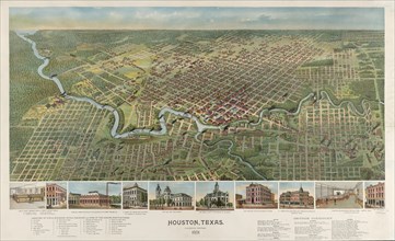
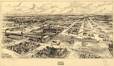
GLS19A01_114
Houston Texas, Looking South, D.W. Ensign, Chicago...
GLS19A01_215
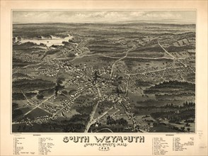
South Weymouth, Norfolk County, Massachusetts, Art...
GLS19A00_360
Bird's Eye View of Guttenberg, Clayton County Iow...
GLS19A00_359
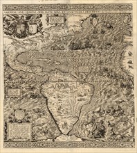
Western Hemisphere Map, "Americae sive qvartae orb...
GLS19A01_210
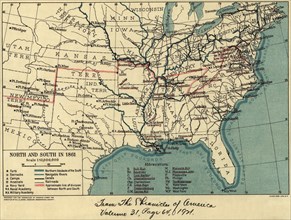
Map during American Civil War, North and South in ...
GLS19A00_362
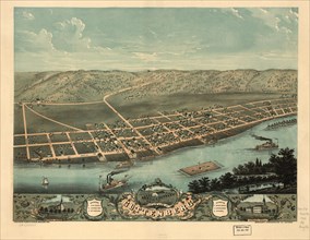
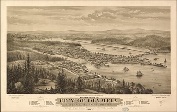
Bird's Eye View of the city of Olympia, East Olymp...
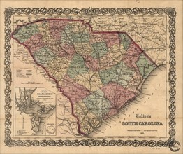
GLS19A01_211
Colton's South Carolina 1865, J.H. Colton
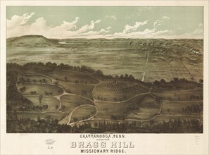
GLS19A00_361
Chattanooga, Tennessee as seen from Bragg Hill, Mi...
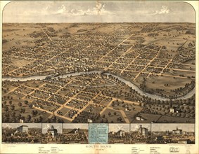
GLS19A01_212
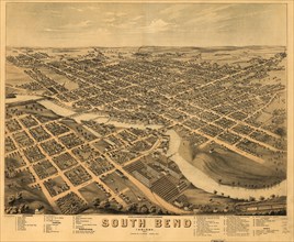
South Bend, Indiana, Drawn and Published by A. Rug...
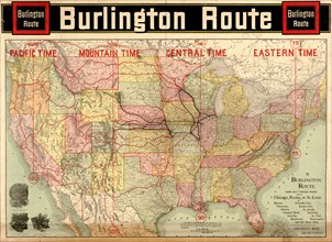
GLS19A00_364
Burlington Railroad Route Map, Rand McNally & Comp...
GLS19A01_213
South Bend, Indiana, Chas. Shober & Co. Proprietor...
GLS19A00_363
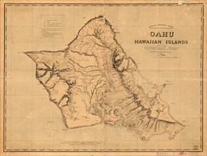
Oahu, Hawaiian Islands, Survey Map, by C.J. Lyons,...
GLS19A01_214
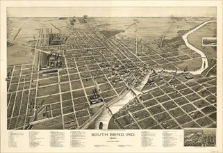
South Bend, Indiana, Drawn and Published by C.J. P...
GLS18A31_455
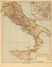
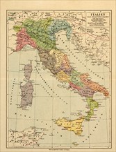
Map of Rome and Old Italy
GLS18A11_041
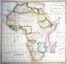
Map of Africa
GLS18A19_292
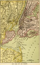
New York and Vicinity Map
GLS18A31_454
Map of Italy and the Islands in the 1st Century A....
GLS18A29_005
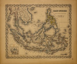
Map of East Indies, 1855
GLS18A31_490
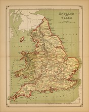
Historical Map of England and Wales

GLS18A23_174
Wallace Beery, Jackie Cooper (right), on-set of th...
GLS18A27_238
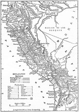
Peru, Bolivia, Map, Harper's New Monthly Magazine,...
GLS18A29_064
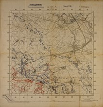
Top Secret World War I Map of Northeastern France ...
GLS18A31_489
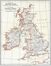
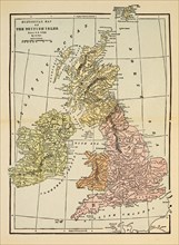
Historical Map of British Isles Since A.D. 1066

GLS18A23_256
Explorer David Livingstone, Engraving from Paintin...
GLS18A29_007
Map of British India, 1895
GLS18A29_060
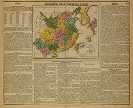
Geographical and Historical Map of China, 1820
GLS18A31_303
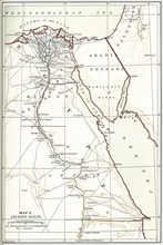
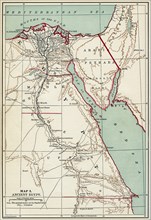
Map of Ancient Egypt, Illustration, Cyclopaedia of...
GLS18A27_288
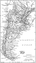
Map, Argentine Republic, Harper's New Monthly Maga...
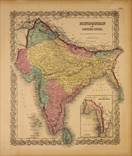
GLS18A29_006
Map of Hindostan or British India, 1855
GLS18A29_061
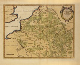
Germaniae Cisrhenanae ut Circa Julii Caesaris Suit...
GLS18A28_496
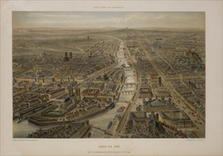
Paris en 1860, Lithograph, from the Book Paris dan...
GLS18A31_413
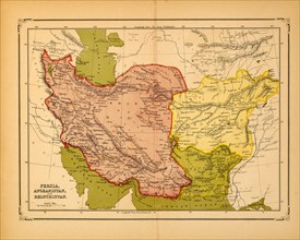
Persia, Afghanistan, Beluchistan, Map, early 1900'...
GLS18A29_063
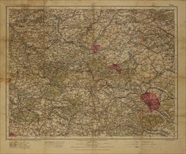
Ubersichtskarte von Mitteleuropa, Overview map of ...
GLS18A26_312
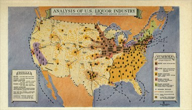
Analysis of U.S. Liquor Industry, 1931
GLS18A31_398
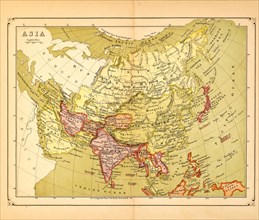
Map of Asia, early 1900's
GLS18A31_407
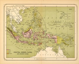
Map of Sumatra, Borneo, Papua and Adjacent Islands...
GLS18A23_352
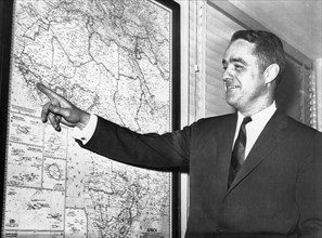
Robert Sargent Shriver, Jr., U.S. Statesman and Ac...
GLS18A24_019
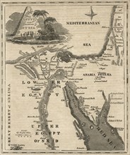
Egypt and Parts of Syria, Map, circa 1850
GLS18A31_399
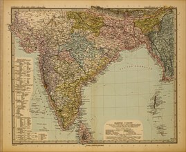
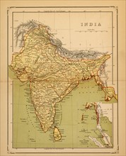
Map of India, early 1900's
GLS18A27_250
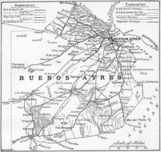
Railway Map, Buenos Aires, Argentina, Harper's New...
GLS18A28_500
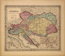
Map of Austria, 1855
GLS18A31_453
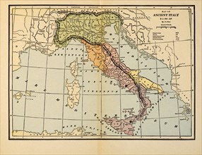
Map of Ancient Italy, B.C. 800-222
GLS18A19_226
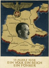
Adolf Hitler Portrait on Map of Germany and Unific...
GLS18A29_001
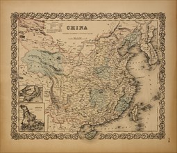
Map of China, 1855
GLS18A29_059
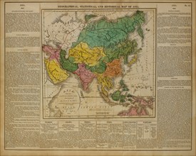
Geographical, Statistical and Historical Map of As...
GLS18A31_452
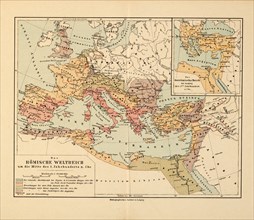
Map, Roman Empire around the middle of the 2nd cen...
- Page
-
- sur
- 2