524 résultats pour : historical maps
- Page
-
- sur
- 6
Connectez-vous pour plus de résultats
UMG26A23_180
Route map of the postal road from Kyakhta (Republi...
UMG26A25_264
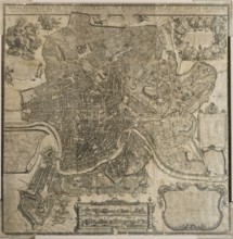
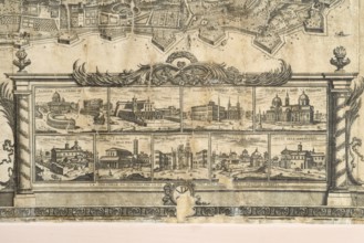
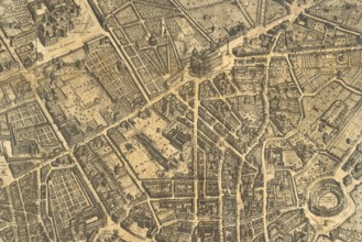
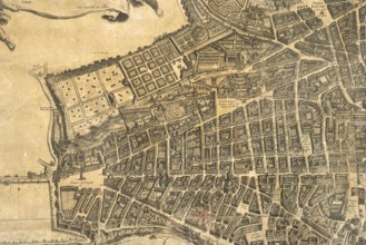
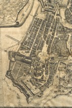
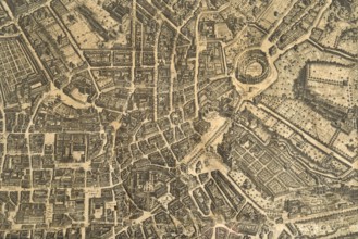
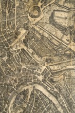
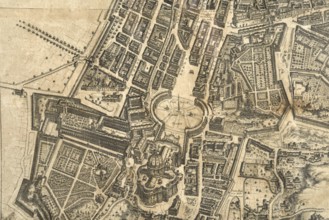
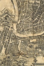
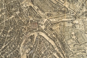
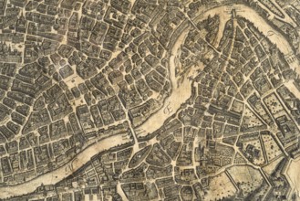
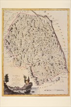
Map of the city of Rome, year 1756, Giovan Battist...
UMG26A25_275
Map of the city of Rome, year 1756, Giovan Battist...
UMG26A25_265
Map of the city of Rome, year 1756, Giovan Battist...
UMG26A25_274
Map of the city of Rome, year 1756, Giovan Battist...
UMG26A25_290
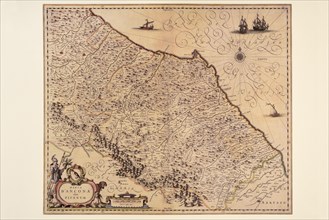
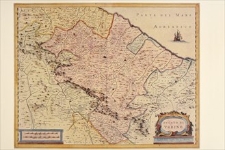
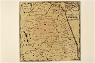
Pierre Mortier, map of Senogallia Ville de l'Etat ...
UMG26A25_273
Map of the city of Rome, year 1756, Giovan Battist...
UMG26A25_272
Map of the city of Rome, year 1756, Giovan Battist...
UMG26A25_268
Map of the city of Rome, year 1756, Giovan Battist...
UMG26A25_285
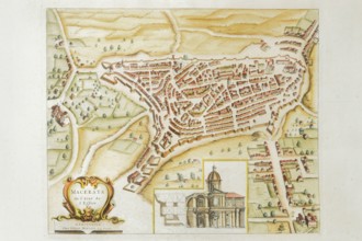
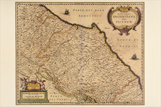
Pierre Mortier, Map of Macerata de l'Etat de l'Egl...
UMG26A25_269
Map of the city of Rome, year 1756, Giovan Battist...
UMG26A25_286
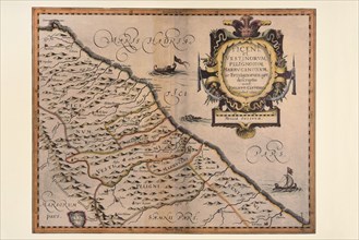
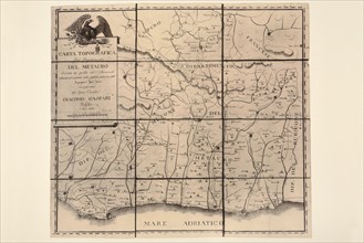
Pierre Mortier, map of Pisaurum vulgo Pesaro de l'...
UMG26A25_266
Map of the city of Rome, year 1756, Giovan Battist...
UMG26A25_277
Map of the city of Rome, year 1756, Giovan Battist...
UMG26A25_267
Map of the city of Rome, year 1756, Giovan Battist...
UMG26A25_276
Map of the city of Rome, year 1756, Giovan Battist...
UMG26A25_270
Map of the city of Rome, year 1756, Giovan Battist...
UMG26A25_271
Map of the city of Rome, year 1756, Giovan Battist...
UMG26A25_284
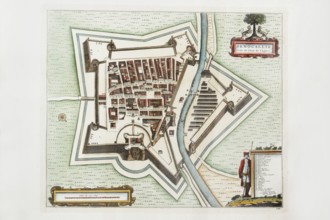
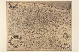
Pierre Mortier, map of Gubbio, ancient royal city ...

UMG26A25_283
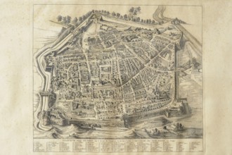
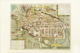
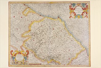
Joan Blaeu, Fanum Fortunae historical map of the c...
UMG26A25_294
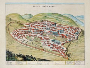
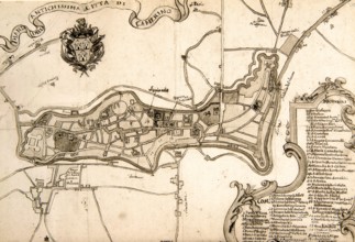
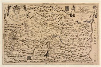
Rocca Contrada, current Arcevia, historical map of...
UMG26A25_306
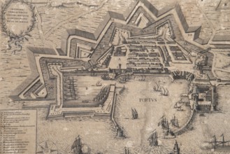
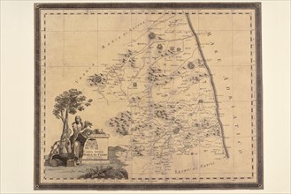
Historical engraving depicting the port and the ci...
UMG26A25_293
Camerino, 17th century historical map of the city,...
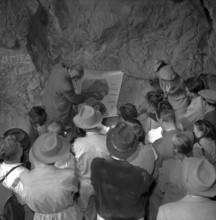
UMG26A13_305
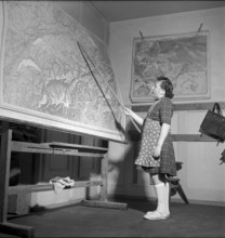
Schoolgirl during geography lesson, La Brevine, 19...
UMG25A41_226
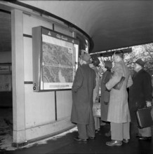
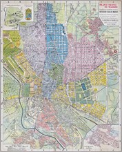
City guide in Zurich, city map, 1954.
UMG25A31_298
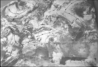
Weather map 1968.

UMG25A30_245
Women military drivers at theoretical training, Br...
UMG25A28_080
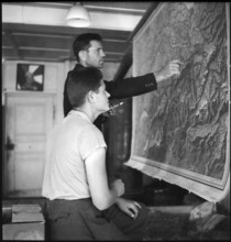
Geodesy-students at surveying exercise, ETH Zurich...
UMG25A28_171
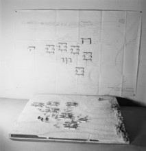
Map and model of Pestalozzi Children's Village 194...
UMG25A24_085
Polish internees look at a map of Switzerland; 194...

UMG25A27_387
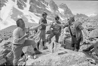
28.7.-5.8. Operation K 659: For the first time, Sw...
UMG25A29_164
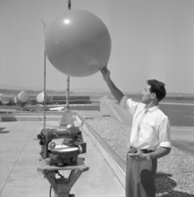
Airport weather service, weather baloon, Zurich-Kl...

UMG25A18_090
Military pilots study tactical exercise, Dübendorf...
UMG25A21_260
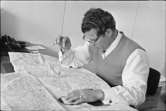
Auxiliary troops; women reading a map; 1942
UMG25A27_381
28.7.-5.8. Operation K 659: For the first time, Sw...
UMG25A08_200
Ricardo Bonetti, radiesthesist, in Blick editorial...
UMG25A13_264
Map of the Schnurenloch grotto in the Simmental, 1...
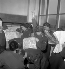
UMG25A10_193
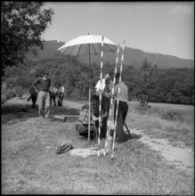
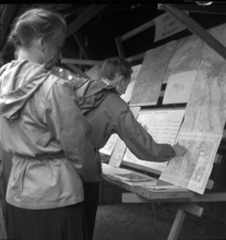
Women soldiers training map reading, Lucerne 1950.
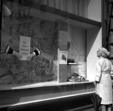
UMG25A10_283
Shop window Ringier publisher: 100 years Bahnhofst...

UMG25A11_122
Airport weather service, weather map, Zurich-Klote...
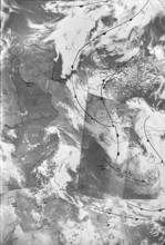
UMG25A15_389
Weather map 1968
UMG25A06_183
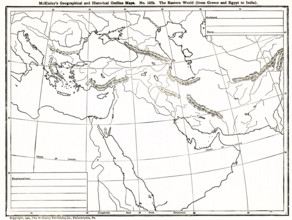
This geographical and historical outline map shows...
UMG25A06_181
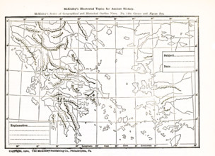
This geogrpahical and historical outline maps show...
UMG25A06_180
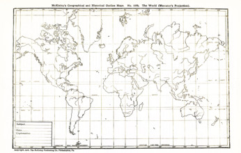
This geographical and historical outline map shows...
UMG25A06_182
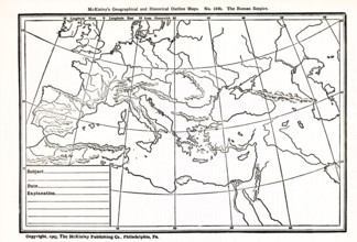
This geographical and historical outline map focus...
UMG24A16_123
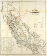
California Resources Map In 1866
UMG24A03_284
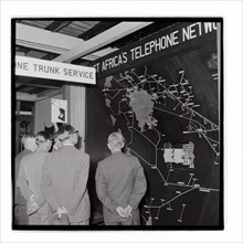
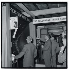
Royal Show East Africa Post and Telecommunications...
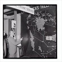
UMG24A03_285
Royal Show East Africa Post and Telecommunications...
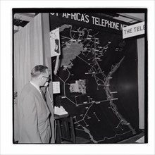
UMG24A03_286
Royal Show East Africa Post and Telecommunications...

UMG24A03_302
Royal Show Settlement Board Stand
UMG24A03_362
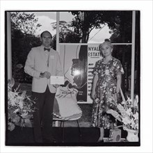
Royal Show Nyali Estate Stand
UMG24A03_383
Royal Show East Africa Post and Telecommunications...
UMG24A03_301
Royal Show Settlement Board Stand
UMG24A01_243
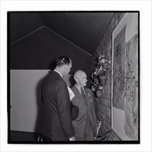
Nairobi P.W.D apprentices with map cabinet
UMG23A66_397
Carte géographique du 17e siècle
UMG23A66_398
Carte géographique du 16e siècle
UMG23A66_399
Carte géographique du 16e siècle
UMG23A66_391
Carte géographique du 17e siècle
UMG23A66_393
Carte géographique du 17e siècle

UMG23A66_392
Carte géographique du 17e siècle
UMG23A66_394
Carte géographique du 17e siècle
UMG23A66_395
Carte géographique du 17e siècle
UMG23A66_396
Carte géographique du 17e siècle
UMG23A66_387
Carte géographique du 19e siècle
UMG23A66_388
Carte géographique du 17e siècle
UMG23A66_389
Carte géographique du 17e siècle
UMG23A66_390
Carte géographique du 17e siècle
UMG23A66_384
Carte géographique du 18e siècle
UMG23A66_385
Carte géographique du 18e siècle
UMG23A66_386
Carte géographique du 19e siècle
UMG23A62_310
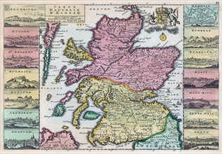
Map of Scotland dating from the early 18th century...
UMG23A62_325
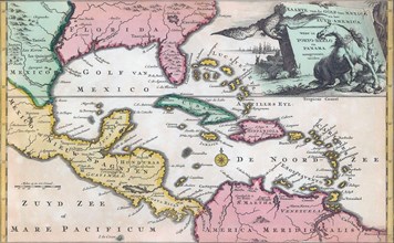
18th century map of Central America and the Gulf o...
UMG23A62_334
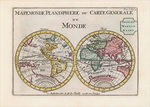
World map dating from the late 17th or early 18th ...
UMG23A58_459
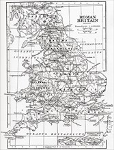
Map of Roman Britain showing the area of the islan...
UMG23A58_100
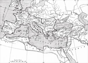
Map of the Roman Empire.
UMG23A58_421
Map of France.
UMG23A60_343
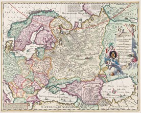
17th century map of Russia and surrounding countri...
UMG23A58_376
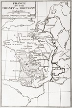
Map of France by the Treaty of Bretigny.
UMG23A61_178
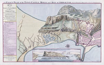
An Exact Plan of the Town Castle Moles and Bay of ...
UMG23A62_060
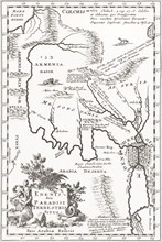
Imagined situation of the Garden of Eden.
UMG23A58_420
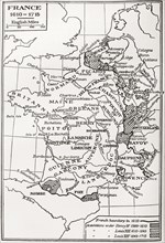
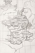
Map of France in 1429.
UMG23A61_201
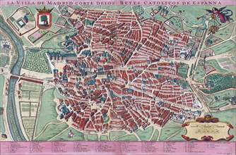
Anonymous map of Madrid dating from late 17th or e...
UMG23A60_110
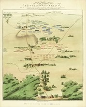
Souvenir Battle of Waterloo map.
UMG23A59_110
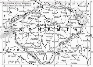
Map of Bohemia at the outbreak of WWI.
UMG23A60_090
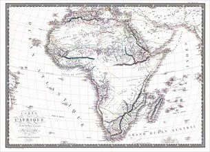
Map of the African continent by the geographer A.H...
UMG23A58_373
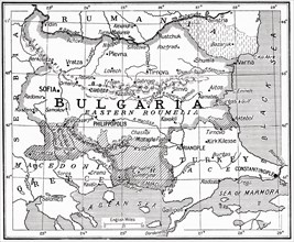
Map of Bulgaria at the outbreak of WWI.
UMG23A62_099
The true and exact Plan of all the Old and New For...
UMG23A62_131
Plan of Madrid.
UMG23A62_270
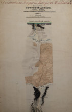
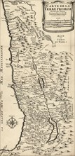
French map from 1720 of Palestine.
UMG23A61_155
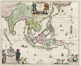
Map of South-East Asia.
UMG23A62_069
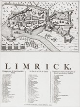
Map of Limerick.
UMG23A60_344
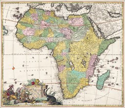
Map of Africa dating from the late 17th century.
UMG23A61_061
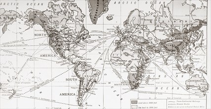
Physical map of the world.

UMG23A62_481
Nathaniel Nye.
UMG23A61_133
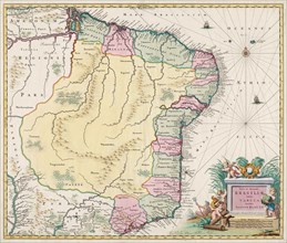
Map of Brazil.
UMG23A58_371
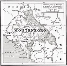
Map of Montenegro at the outbreak of WWI.
UMG23A58_414
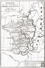
Map of France at the accession of Philip II, aka P...
UMG23A62_411
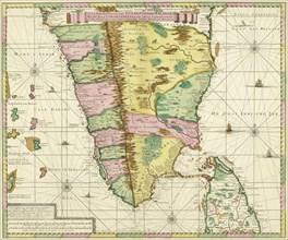
Map of Southern India and Ceylon.
UMG23A61_153
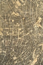
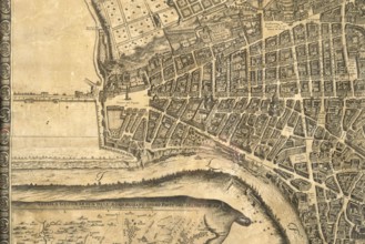
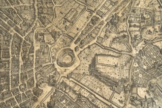
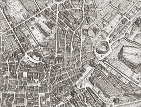
Map of the centre of Rome.

UMG23A61_161
The beheading of Cornelis de Hooghe.
- Page
-
- sur
- 6