58 résultats pour : historical cartographer
- Page
-
- sur
- 1
Connectez-vous pour plus de résultats
UMG26A02_134
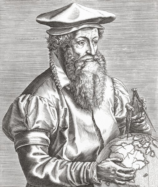
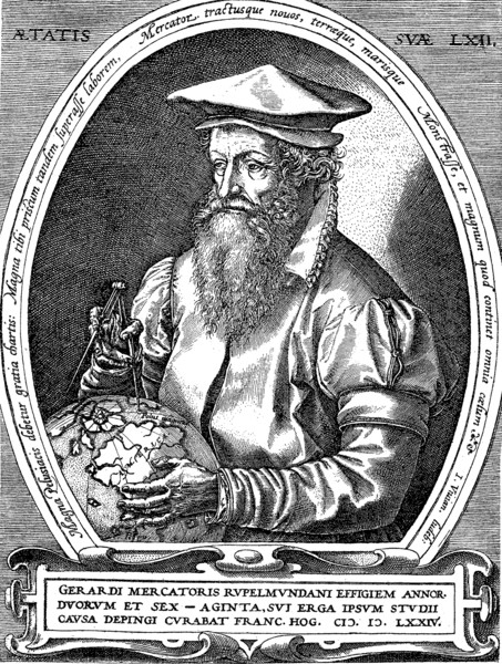
Gerhard Mercator.
UMG26A02_131
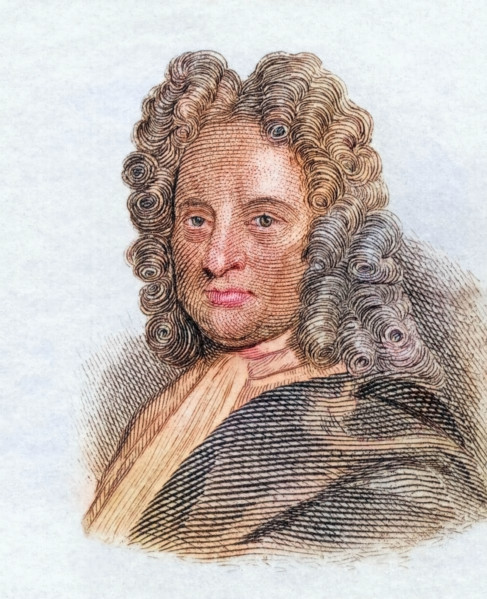
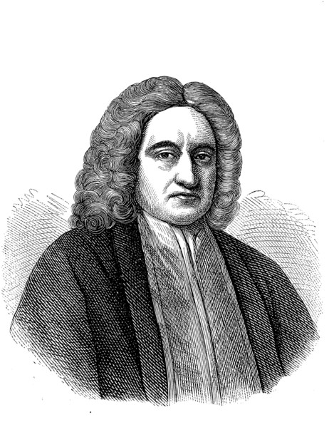
Edmond Halley.
UMG26A02_021
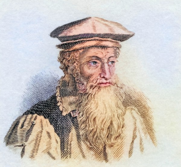
John Speed.
UMG25A04_036
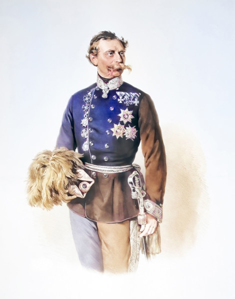
Franz Edler Von Hauslab
UMG23A60_343
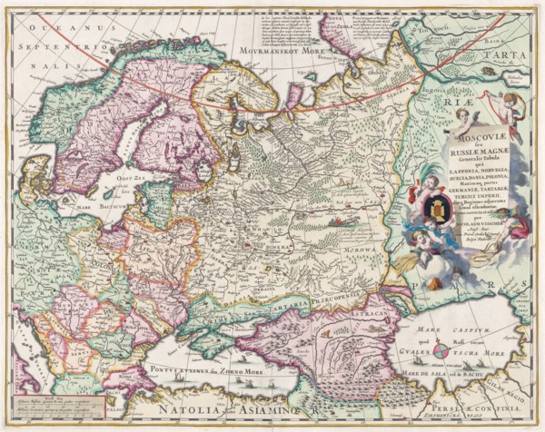
17th century map of Russia and surrounding countri...
UMG23A62_321
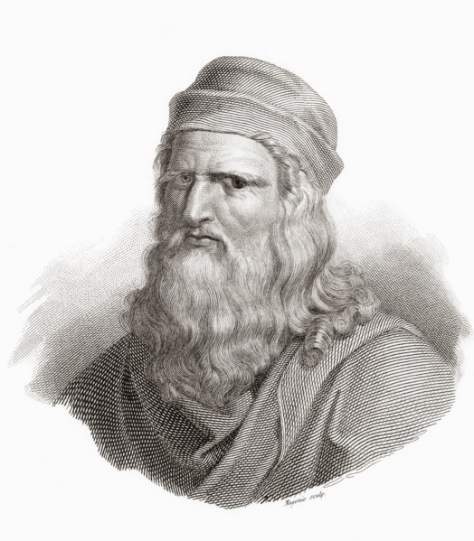
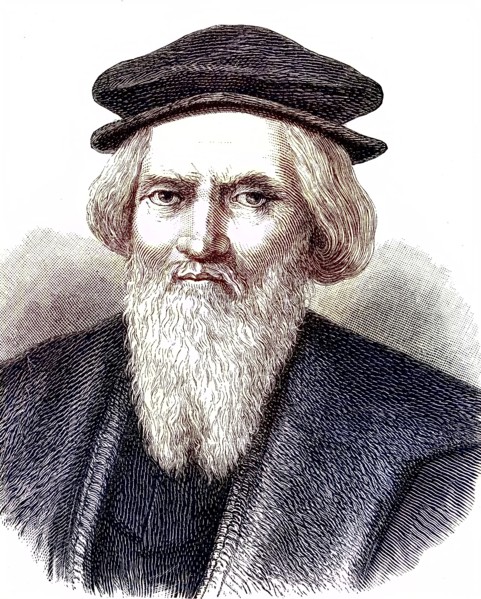
Leonardo di ser Piero da Vinci.
UMG23A62_042
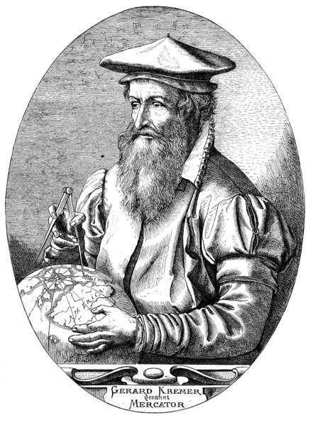
Gerardus Mercator.
UMG23A61_117
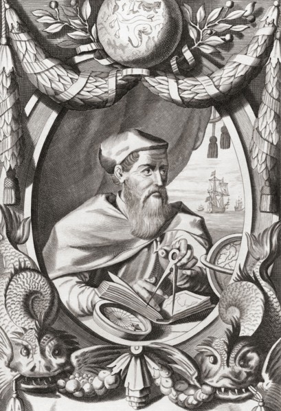
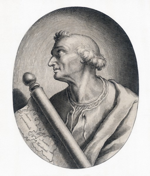
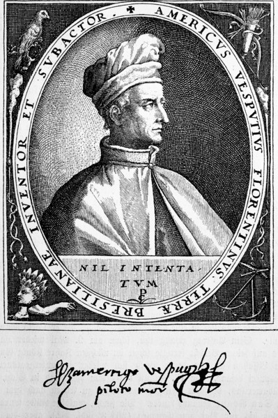
Amerigo Vespucci.
UMG23A62_481
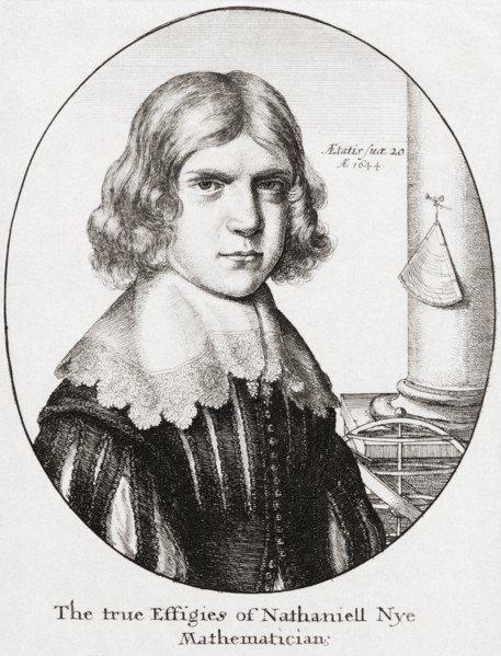
Nathaniel Nye.
UMG23A61_133
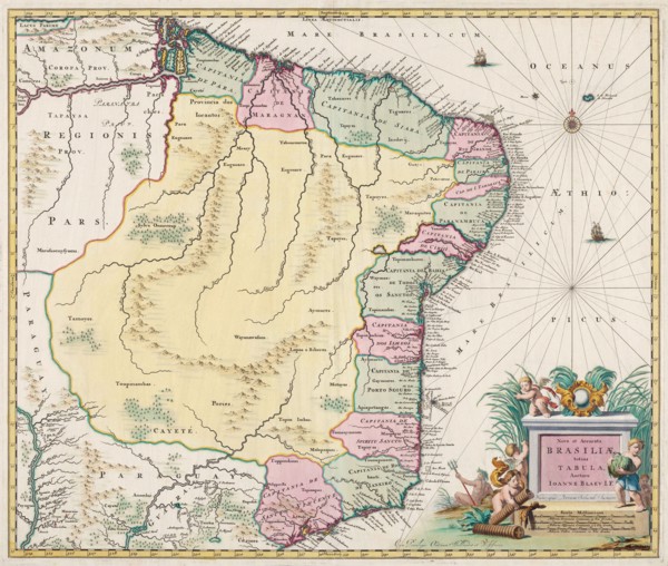
Map of Brazil.
UMG23A62_411
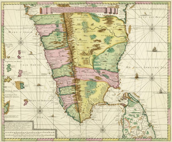
Map of Southern India and Ceylon.
UMG23A62_474
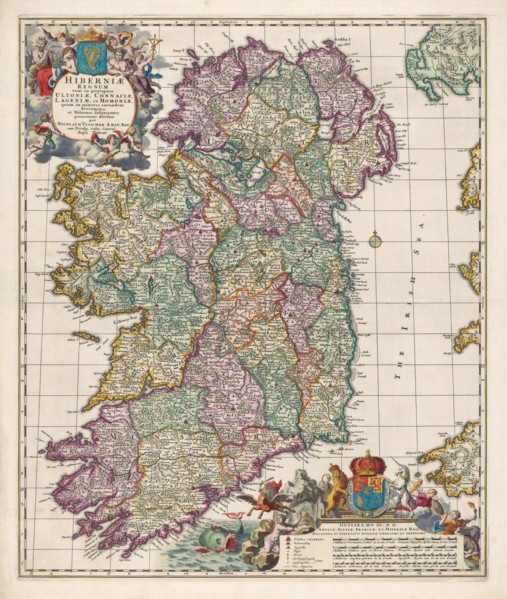
Map of Ireland.
UMG23A63_006
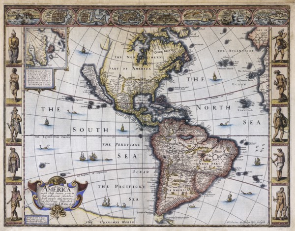
Map of America.
UMG23A60_172
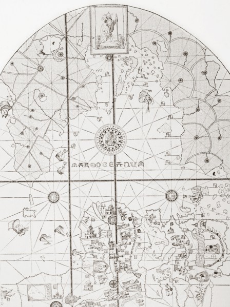
The sea chart of Juan de la Cosa.
UMG23A61_124
Amerigo Vespucci.
UMG22A60_099
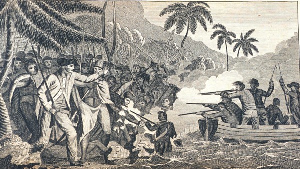
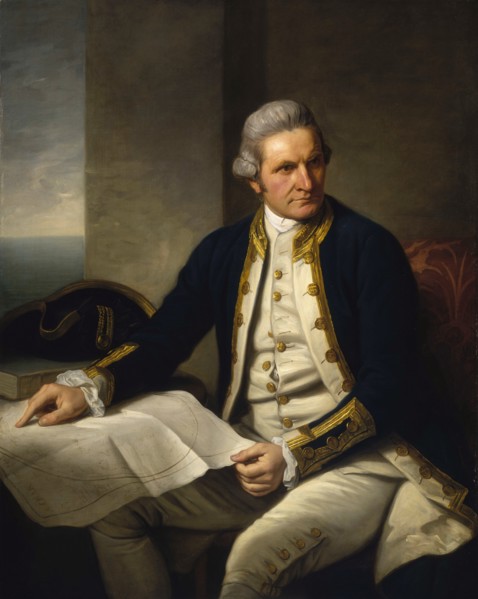
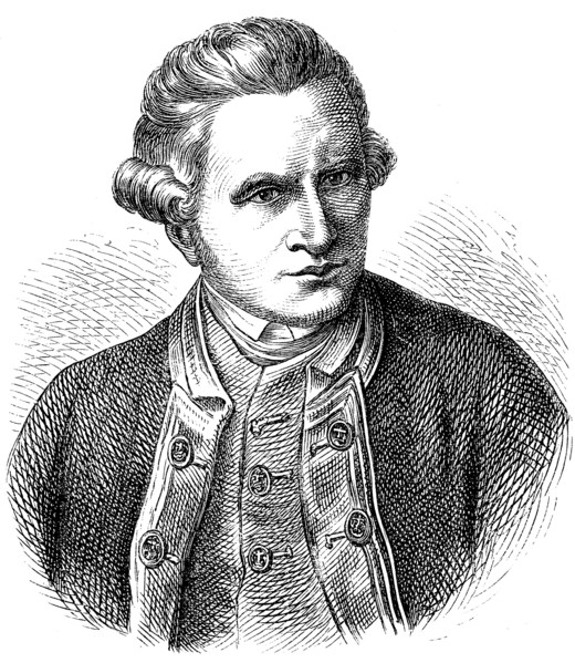
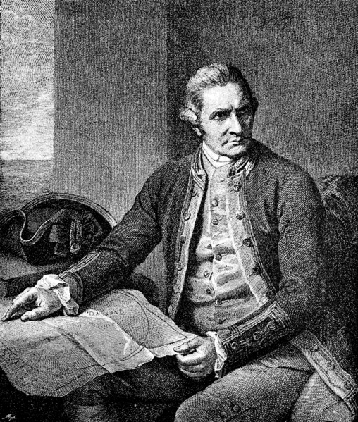
James Cook
UMG22A60_101
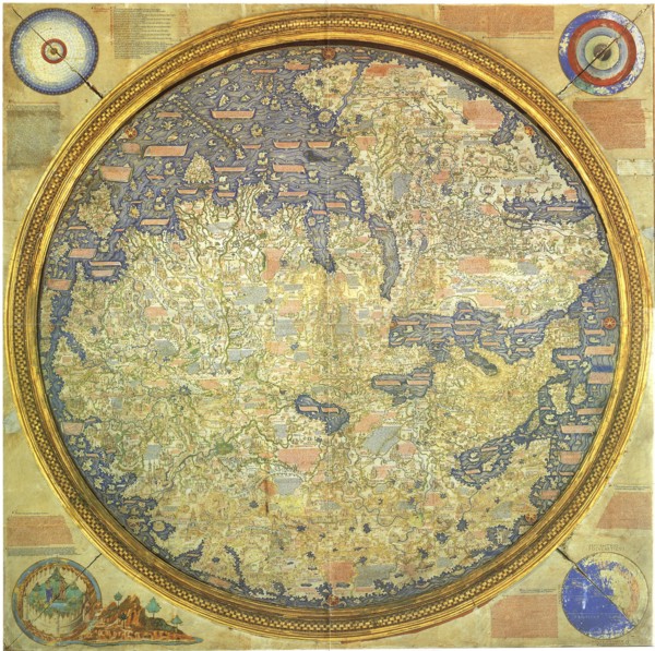
Fra Mauro Map
UMG22A65_214
Jamescook
UMG22A45_458
Edmond Halley
UMG22A43_475
Johann Samuel Heinrich Kiepert (b. July 31
UMG22A47_007
James Cook
UMG22A47_102
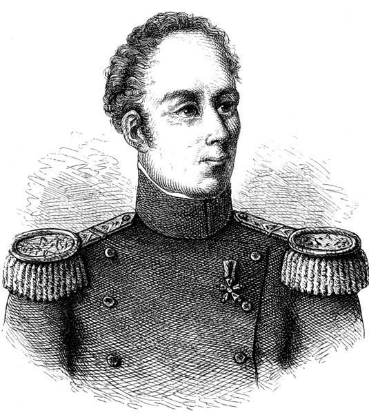
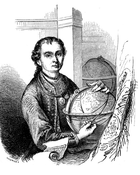
Guillaume Henri Dufour
UMG22A44_166
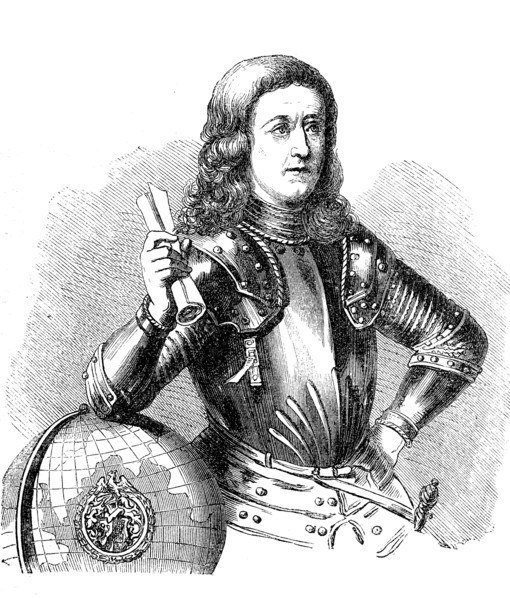
Sebastiano Caboto
UMG22A04_187
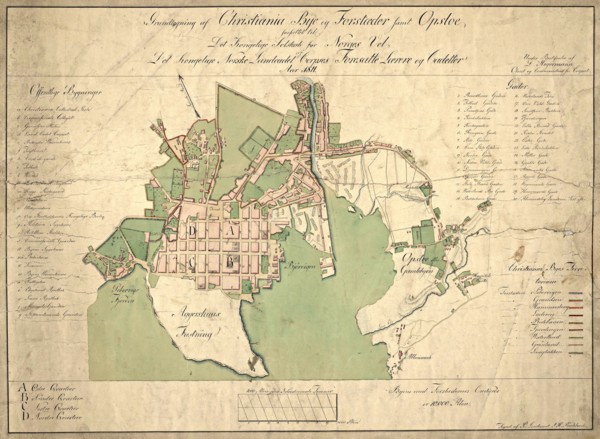
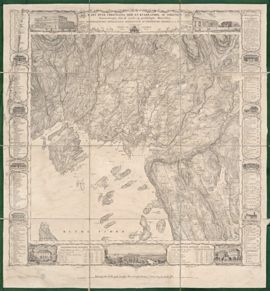
Reichborns kart over Christiania
UMG22A03_495
Geelkercks kart over Christiania
UMG22A03_072
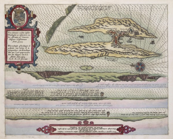
Linschotens kart over Vardø - Cartographer Jan Huy...
UMG22A03_311
Cornelis De Jodes verdenskart
UMG21A22_217
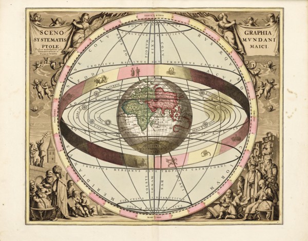
Cellarius' Scenographia Systematis Mundani Ptolema...
UMG21A21_004
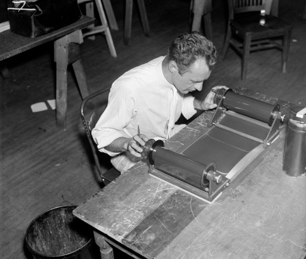
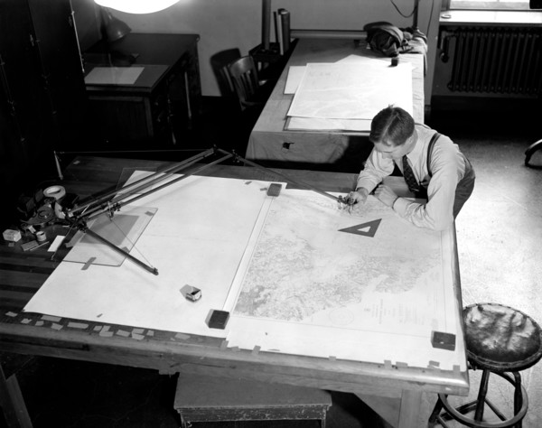
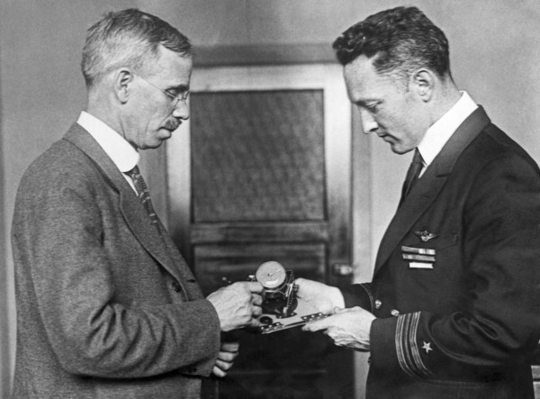
A worker using a planimetor, which measures the ex...
UMG21A22_218
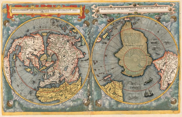
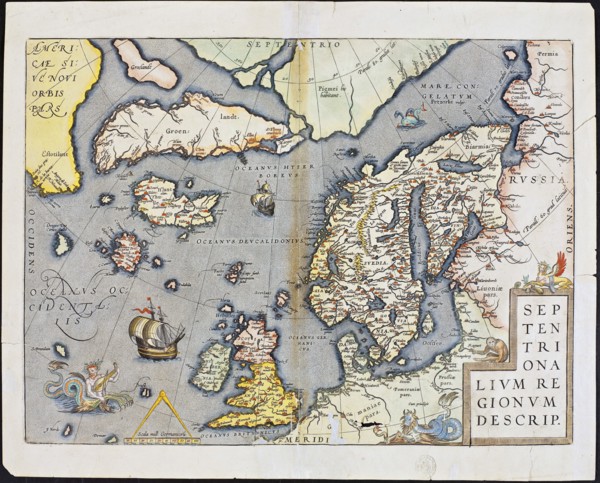
Abraham Ortelius nordenkart, 1601 - Map of Norther...
UMG21A21_003
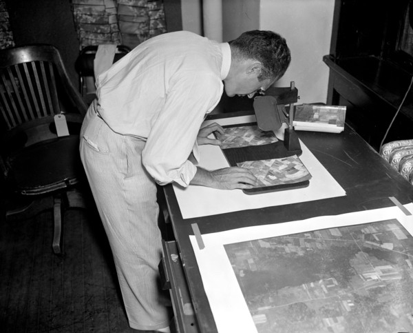
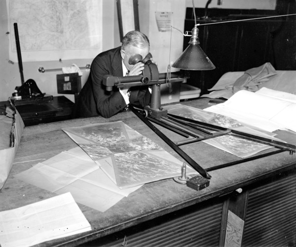
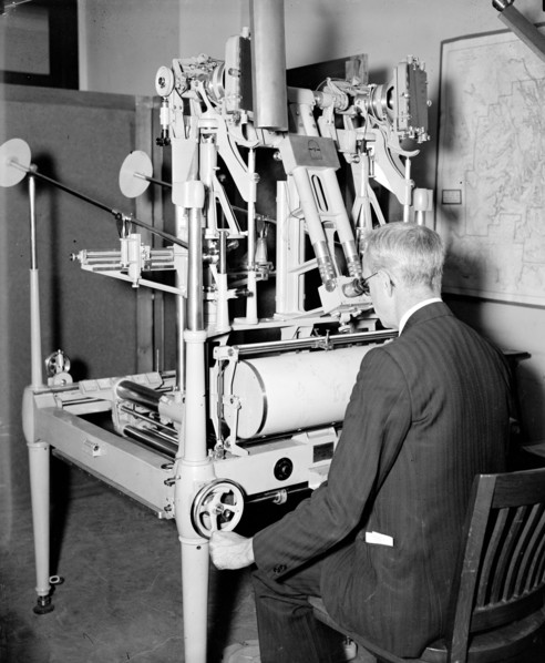
A worker is shown making a stereoscopic examinatio...
UMG21A22_215
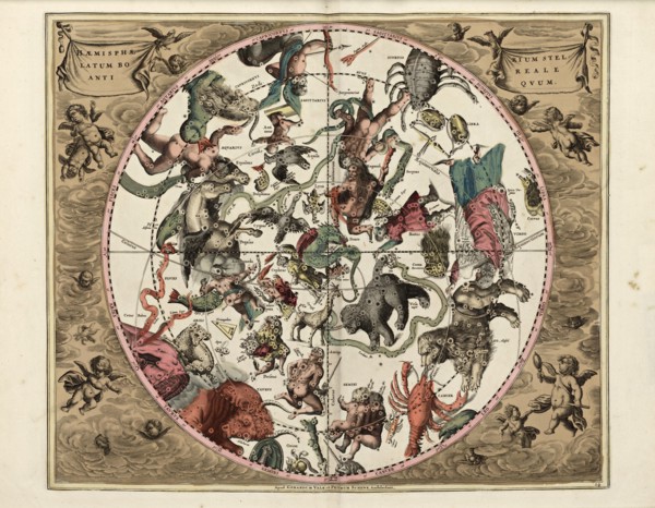
Cellarius' Hæmisphærium Stellatum Boreale Antiqvum...
UMG21A21_002
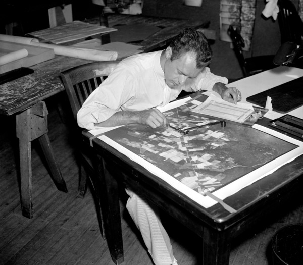
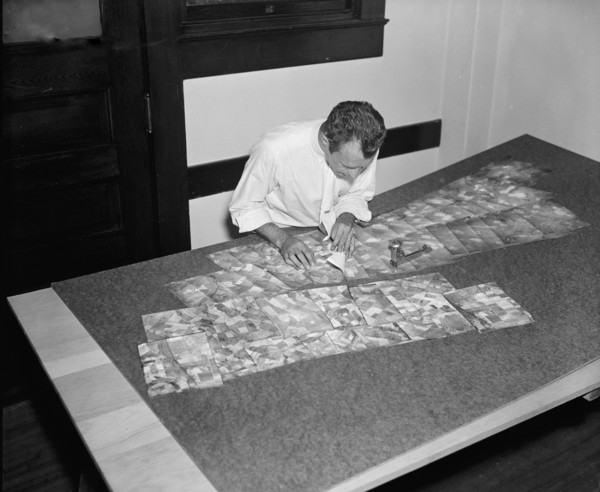
Map maker fitting together photos for the final ma...
UMG21A21_279
Geological Survey. Washington, D.C., March 13. Alb...
UMG21A22_216
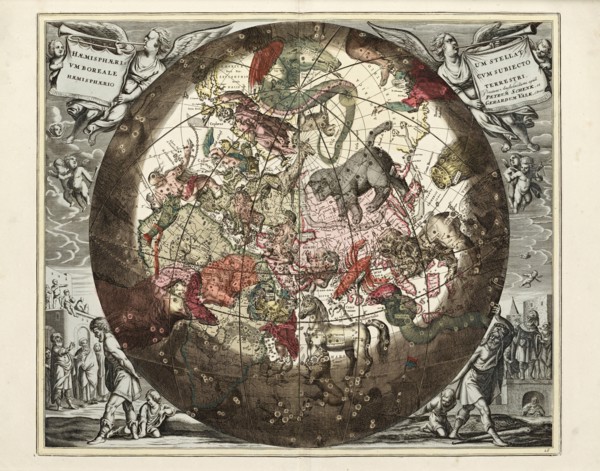
Cellarius' Hæmisphærium Stellatvm Boreale cvm Subi...
UMG21A21_001
A worker is shown inspecting a roll of film for fl...
UMG21A21_280
Geological Survey, Dept. Interior. Washington, D.C...
UMG21A22_213
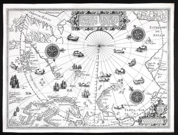
Barentskartet, 1598.
UMG21A22_214
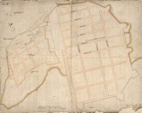
Cartographer Vibe og Irgens - Vibe og Irgens kart ...
UMG21A22_026
Map-making Division of Coast & Geodetic Survey, De...
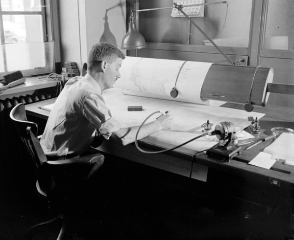
UMG21A22_027
Map-making Division of Coast & Geodetic Survey, De...
UMG21A12_148
Martin Behaim
UMG21A08_312
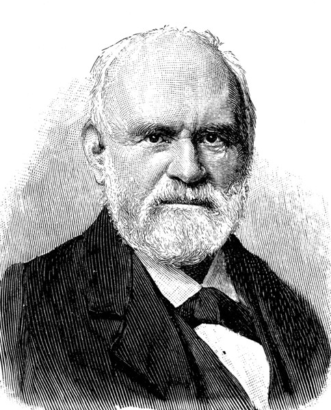
Peter Anich
UMG21A01_296
James Cook
UMG21A02_001
Gerardus Mercator
UMG20B49_436
Martin Behaim
UMG20B49_432
Amerigo Vespucc
UMG20B19_329
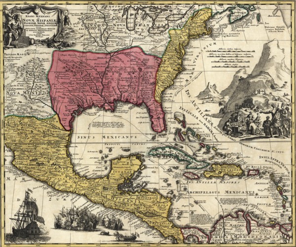
Regni Mexicani seu Novae Hispaniae
UMG20A31_422
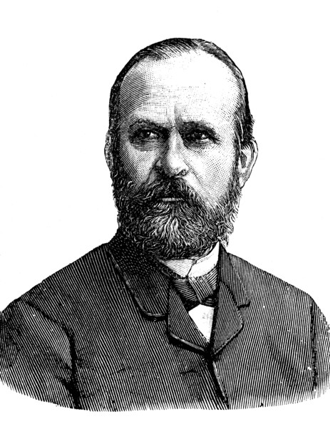
Ferdinand freiherr von richthofen
UMG20A31_433
Johann samuel heinrich kiepert
UMG20A34_424
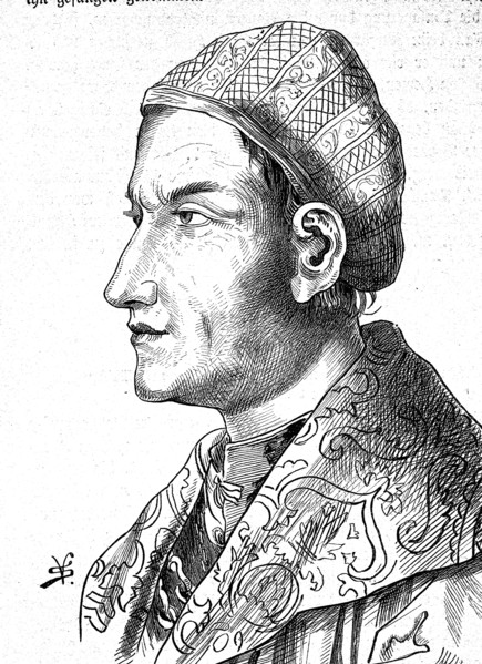
Sebastian von rotenhan
UMG20A32_222
Mercator, gerard de kremer
UMG20A04_138
India & Southeast Asia 1650
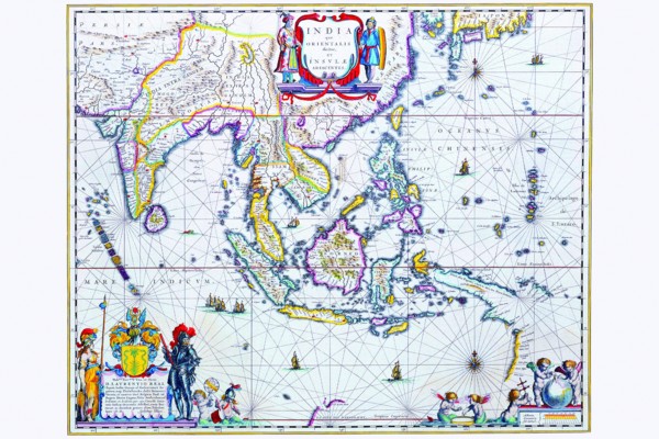
UMG20A04_082
Historical Atlas Title Page 1719
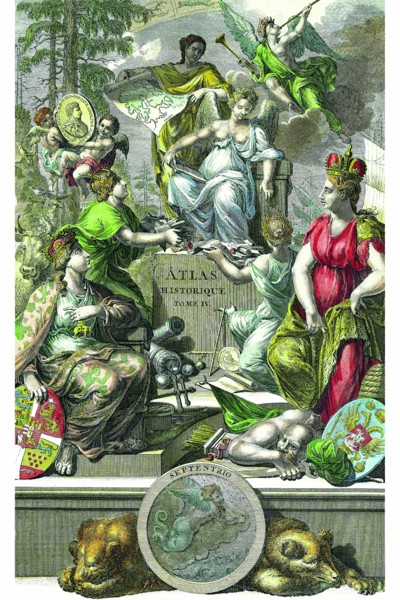
UMG20A04_097
Polar Projection Map of the World 1700
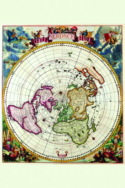
UMG20A04_100
Mappa Monde Carte Universelle de la terre 1755
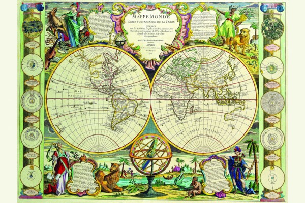
UMG20A04_130
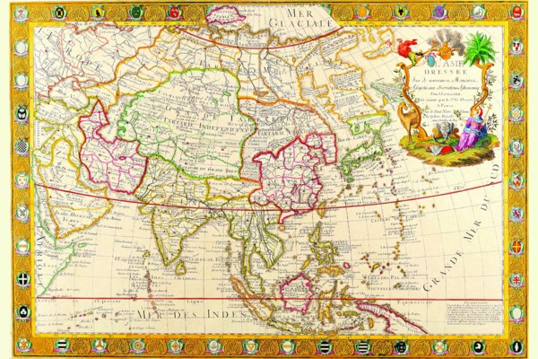
Asia 1732
UMG20A12_361