474 résultats pour : city map
- Page
-
- sur
- 5
Connectez-vous pour plus de résultats
UMG26A24_301
Formula of Spring
UMG26A25_264
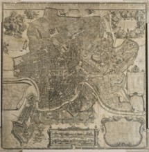
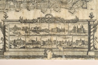
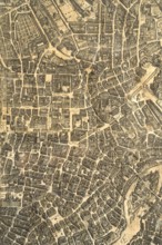
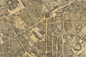
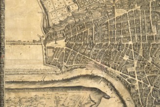
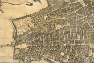
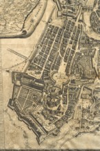
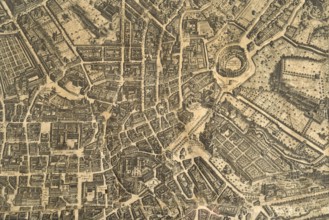
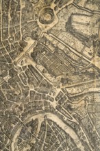
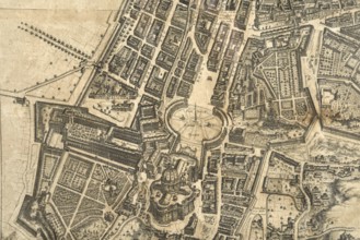
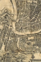
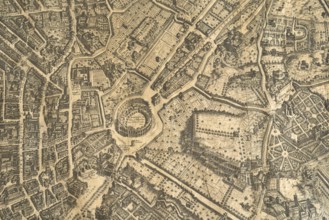
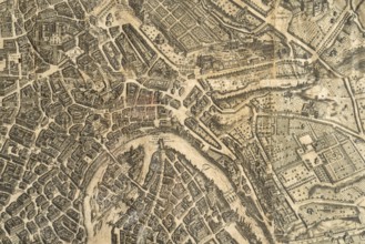
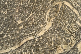
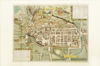
Map of the city of Rome, year 1756, Giovan Battist...
UMG26A25_275
Map of the city of Rome, year 1756, Giovan Battist...
UMG26A25_289
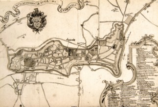
Pianta della cittv† di Senigaglia, proveniente dal...
UMG26A25_265
Map of the city of Rome, year 1756, Giovan Battist...
UMG26A25_274
Map of the city of Rome, year 1756, Giovan Battist...
UMG26A25_273
Map of the city of Rome, year 1756, Giovan Battist...
UMG26A25_272
Map of the city of Rome, year 1756, Giovan Battist...
UMG26A25_268
Map of the city of Rome, year 1756, Giovan Battist...
UMG26A25_269
Map of the city of Rome, year 1756, Giovan Battist...
UMG26A25_266
Map of the city of Rome, year 1756, Giovan Battist...
UMG26A25_277
Map of the city of Rome, year 1756, Giovan Battist...
UMG26A25_267
Map of the city of Rome, year 1756, Giovan Battist...
UMG26A25_276
Map of the city of Rome, year 1756, Giovan Battist...
UMG26A25_270
Map of the city of Rome, year 1756, Giovan Battist...
UMG26A25_271
Map of the city of Rome, year 1756, Giovan Battist...
UMG26A25_284
Pierre Mortier, map of Gubbio, ancient royal city ...

UMG26A25_283
Joan Blaeu, Fanum Fortunae historical map of the c...
UMG26A25_294
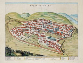
Rocca Contrada, current Arcevia, historical map of...
UMG26A25_306
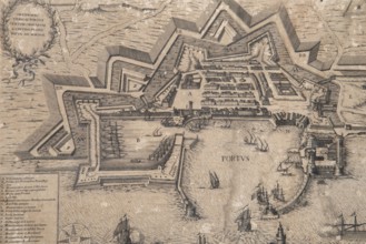
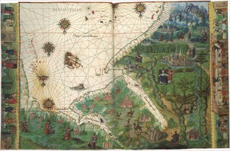
Historical engraving depicting the port and the ci...
UMG26A25_293
Camerino, 17th century historical map of the city,...
UMG25A41_226
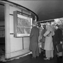
City guide in Zurich, city map, 1954.
UMG25A06_170
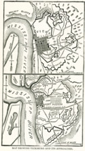
This map dating to late 1800s shows Vicksburg and ...
UMG25A01_182
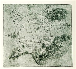
This Babylonian/Chaldaean map of the world was dra...
UMG25A01_202
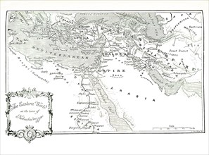
This 1903 illustration shows a map of the eastern ...
UMG24A34_387
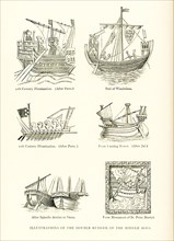
The caption for this map from The Travels of Marco...
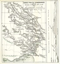
UMG24A34_384
The caption for this map from The Travels of Marco...
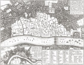
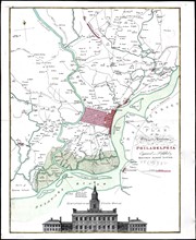
UMG24A06_477
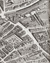
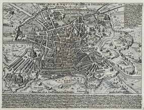
This map of Rome shows the city during the period ...
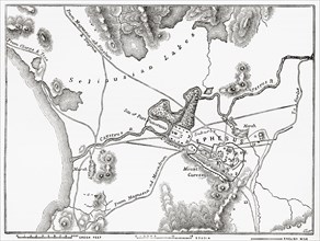
UMG24A04_273
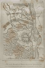
Holy Roman Empire. Plan of the Battle of Vienna, 1...
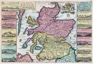
UMG23A62_310
Map of Scotland dating from the early 18th century...
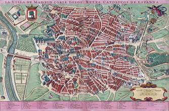
UMG23A61_201
Anonymous map of Madrid dating from late 17th or e...
UMG23A62_099
The true and exact Plan of all the Old and New For...
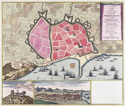
UMG23A62_131
Plan of Madrid.
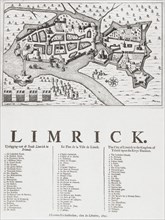
UMG23A62_069
Map of Limerick.
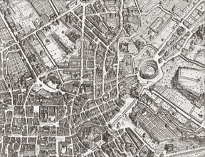
UMG23A61_153
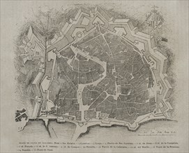
Map of the centre of Rome.
UMG23A62_062
Map showing the extent of the damage caused by the...
UMG23A64_339
Plan of Ephesus.
UMG23A63_080
Fragment of the Turgot Map of Paris.

UMG23A56_183
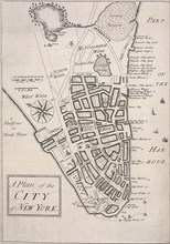
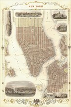
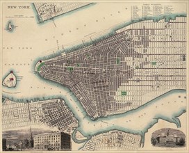
New York
UMG23A44_402
Palma de Mallorca map.

UMG23A44_348
Map of the city of Tarragona.
UMG23A54_488
Long-standing map of the city of Elisavetgrad
UMG23A00_243
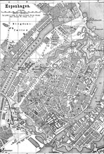
Map of Copenhagen.
UMG23A00_465
Plan of Krakow.
UMG23A02_072
Paris Exhibition.
UMG23A02_073
Vienna Exhibition.
UMG23A02_038
Plan of La Habana.
UMG23A02_039
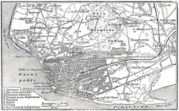
Plan of Le Havre.
UMG23A02_068
Berlin Exhibition.
UMG23A02_069
Paris Exhibition.
UMG23A02_070
Paris Exhibition.
UMG23A02_071
Paris Exhibition.
UMG22A69_243
The Lyne-Bradford Plan.
UMG22A69_244
The Carwitham Plan and Char.
UMG22A69_245
The Tiddeman Chart.
UMG22A69_247
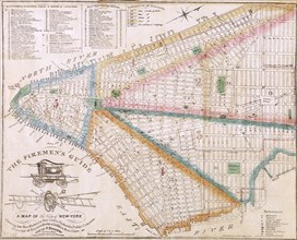
The Fireman's Guide.
UMG22A69_271
New York 1851.
UMG22A67_453
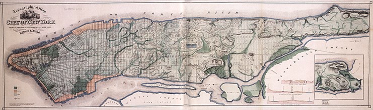
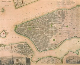
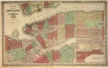
Map of New York City.
UMG22A69_246
The Ratzer Map.
UMG22A69_248
Viele's Water Map.
UMG22A65_276
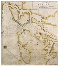
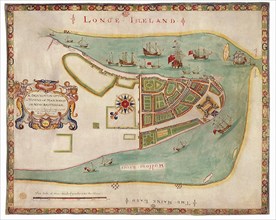
New York Harbor 1664
UMG22A65_278
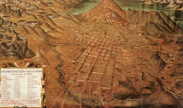
Map of Potosi, Peru 1758
UMG22A69_297
Plan of Athens.
UMG22A63_367
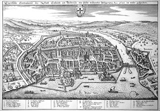
Constance On Lake Constance In The Middle Ages
UMG22A63_380
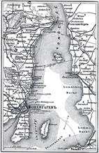
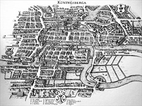
Koenigsberg In The Middle Ages

UMG22A63_361
Augsburg
UMG22A63_383
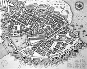
Hamburg In The Middle Ages
UMG22A44_096
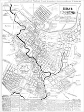
City map of Copenhagen
UMG22A45_486
City map of Hamburg
UMG22A48_399
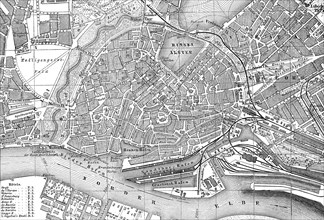
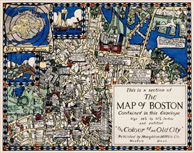
Section of the Map of Boston
UMG22A48_398
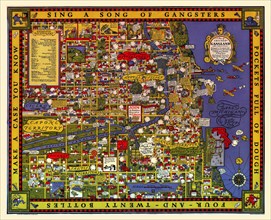
Map of Chicago's Gangland
UMG22A49_194
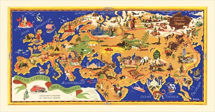
Grand Circuit des Capitales
UMG22A48_400
A map of Boston decorative AND historical
UMG22A41_211
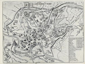
Splendore Dell' Antica Roma, c.1625
UMG22A41_190
Splendore Dell' Antica Roma, c.1625
UMG22A32_376
Vintage Maps / Antique Maps - Map of the city of P...
UMG22A26_052
Vintage Maps / Antique Maps - A survey of the city...
UMG22A30_052
Vintage Maps / Antique Maps - A map of the city an...
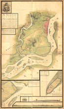
UMG22A30_103
Vintage Maps / Antique Maps - map of the city of Q...
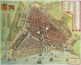
UMG21A17_352
Map of Rotterdam. 1649
UMG21A17_368
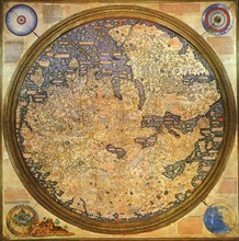
Islamic Renaissance Map 1459
UMG21A17_212
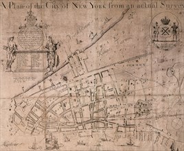
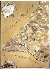
A Plan of the City of New York and Its Environs
UMG21A17_249
New York
UMG21A17_298
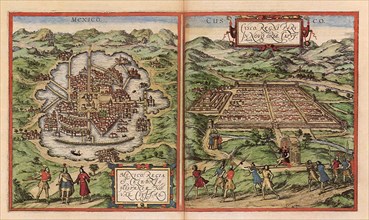
Aztec, Incan Capitals 1528
UMG21A17_250
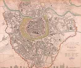
Vienna
UMG21A17_297
Aztec Capital with Water 1528
UMG21A17_105
Washington D.C. 1865
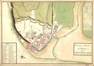
UMG21A17_322
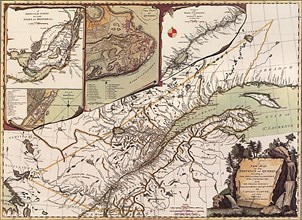
Quebec Map 1776
UMG21A17_373
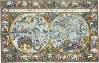
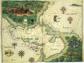
Double Hemisphere Map with Border 1611
UMG21A17_381
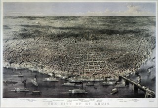
Aerial View of Saint Louis. 1874
UMG21A17_216
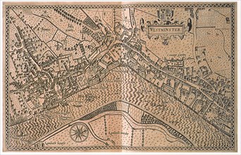
Westminster
UMG21A17_257
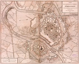
D’Alexandrie
UMG21A18_155
Map of East Africa etc 1547
UMG21A18_164
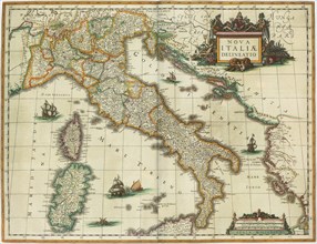
Map of Italy 1631
UMG21A17_059
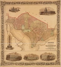
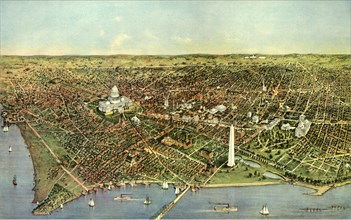
The City of Washington

UMG21A17_077
Europe,1619-1672
UMG21A17_111
New York a Century Ago
UMG21A17_234
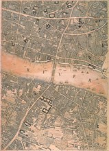
London
UMG21A17_353
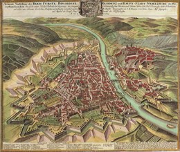
View of Wuzburg City 1735
UMG21A18_154
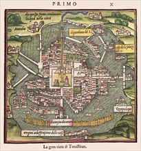
Map of Mexico et al 1547
- Page
-
- sur
- 5