227 résultats pour : antique atlas
- Page
-
- sur
- 3
Connectez-vous pour plus de résultats
UMG23A00_243
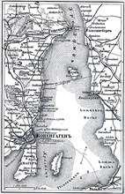
Map of Copenhagen.
UMG23A02_037
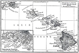
Map of Archipelago Hawaii.
UMG23A02_038
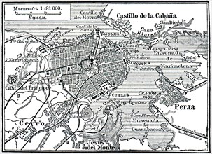
Plan of La Habana.
UMG23A02_039
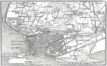
Plan of Le Havre.
UMG22A65_444
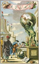
Atlas on Frontispiece
UMG22A69_166
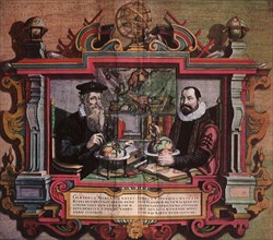
Mapmakers Gerard Mercator & Jodocus Hondius.
UMG22A24_492
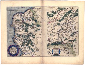
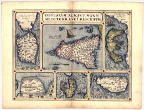
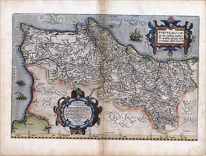
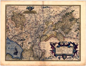
Abraham Ortelius - First World Atlas ca. 1570 - Ze...
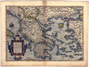
UMG22A24_493
Abraham Ortelius - First World Atlas ca. 1570 - Th...
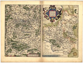
UMG22A24_494
Abraham Ortelius - First World Atlas ca. 1570 - Fr...
UMG22A32_143
Abraham Ortelius - First World Atlas ca. 1570 - An...
UMG22A24_485
Abraham Ortelius - First World Atlas ca. 1570 - Th...
UMG22A24_495
Abraham Ortelius - First World Atlas ca. 1570 - Av...
UMG22A32_142
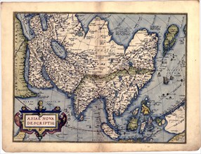
Abraham Ortelius - First World Atlas ca. 1570 - As...
UMG22A24_488
Abraham Ortelius - First World Atlas ca. 1570 - Bi...
UMG22A24_500
Abraham Ortelius - First World Atlas ca. 1570 - Rv...
UMG22A32_145
Abraham Ortelius - First World Atlas ca. 1570 - Ga...
UMG22A24_489
Abraham Ortelius - First World Atlas ca. 1570 - Ca...
UMG22A24_499
Abraham Ortelius - First World Atlas ca. 1570 - Si...
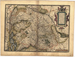
UMG22A32_144
Abraham Ortelius - First World Atlas ca. 1570 - Po...
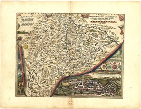
UMG22A24_490
Abraham Ortelius - First World Atlas ca. 1570 - Ge...
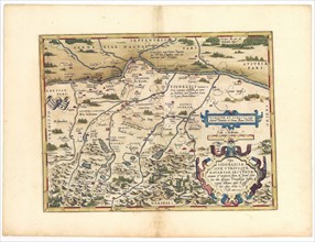
UMG22A25_002
Abraham Ortelius - First World Atlas ca. 1570 - Na...
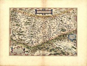
UMG22A32_147
Abraham Ortelius - First World Atlas ca. 1570 - Tr...
UMG22A24_491
Abraham Ortelius - First World Atlas ca. 1570 - Br...
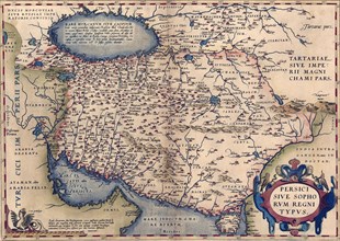
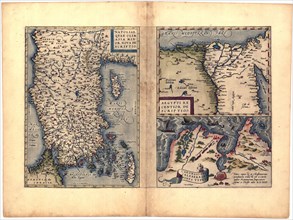
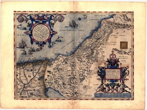
UMG22A25_001
Abraham Ortelius - First World Atlas ca. 1570 - Pe...
UMG22A32_146
Abraham Ortelius - First World Atlas ca. 1570 - Sa...
UMG22A32_149
Abraham Ortelius - First World Atlas ca. 1570 - Pa...
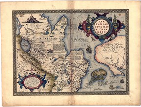
UMG22A32_148
Abraham Ortelius - First World Atlas ca. 1570 - Ta...
UMG22A24_496
Abraham Ortelius - First World Atlas ca. 1570 - Ba...
UMG22A32_238
Abraham Ortelius - First World Atlas ca. 1570 - Gr...
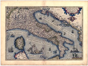
UMG22A24_497
Abraham Ortelius - First World Atlas ca. 1570 - It...
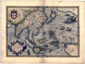
UMG22A25_072
Abraham Ortelius - First World Atlas ca. 1570 - In...
UMG21A17_068
Portolan Atlas
UMG21A17_286
Old World Map 1595
UMG21A17_347
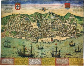
A Town Plan of Lisbon 1598
UMG20B25_205
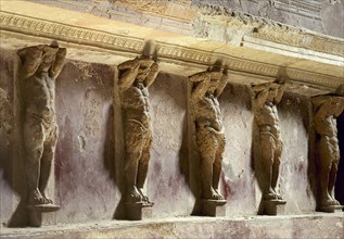
Italy, Pompeii
UMG20A00_132
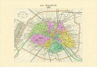
Paris - Capitale de la France 1850
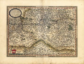
UMG20A00_034
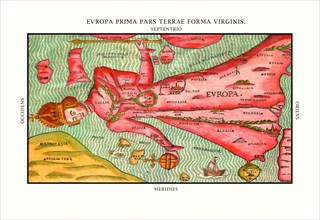
Europa Prima Pars 1580
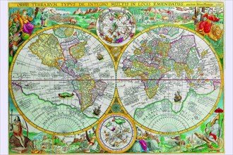
UMG20A00_058
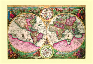
Orbis Terrarum Typus 1596
UMG20A00_164
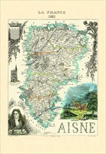
Aisne 1850
UMG20A00_151
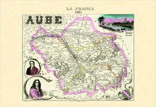
Aube 1850
UMG20A00_117
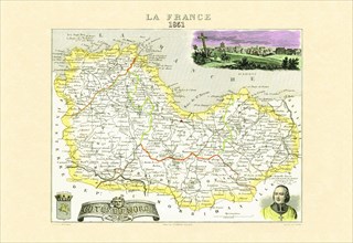
Cotes-du-Nord 1850
UMG20A00_178
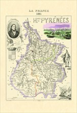
Hautes-Pyrenees 1850
UMG20A00_037
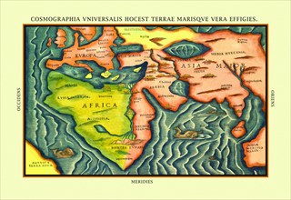
Cosmographia Universalis 1580
UMG20A00_148
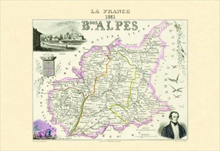
Bses Alpes 1850
UMG20A00_112
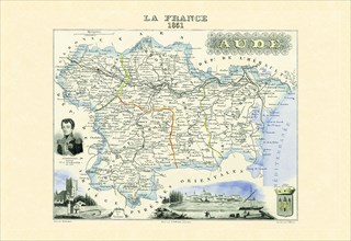
Aude 1850
UMG20A00_055
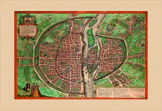
Lutiti Paris 1572
UMG20A00_161
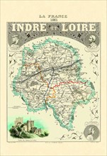
Indre-et-Loire 1850
UMG20A01_108
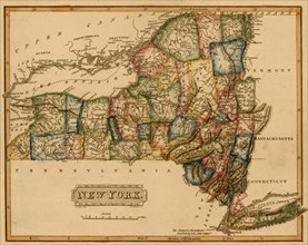
New York - 1817
UMG20A01_119
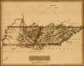
Tennessee - 1817

UMG20A04_083
Atlas Frontispiece by Philip Kilian 1680
UMG20A04_094
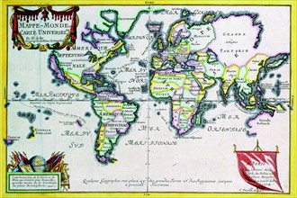
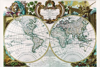
Mappe-Monde or Carte Universel 1724
UMG20A04_101
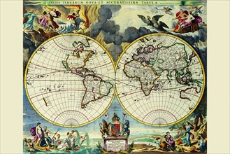
Stereographic Map of the World 1680
UMG20A04_114
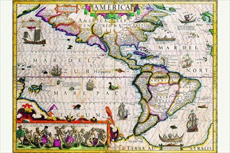
The Americas 1619
UMG20A04_127
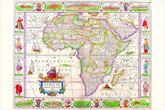
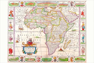
Africa 1690
UMG20A04_138
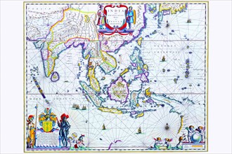
India & Southeast Asia 1650
UMG20A00_338
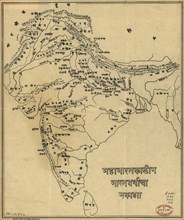
Map of India
UMG20A00_347
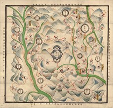
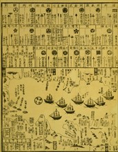
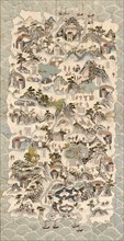
Chinese fortress and existing military deployment ...
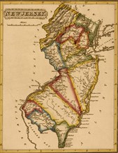
UMG20A01_109
New Jersey - 1817
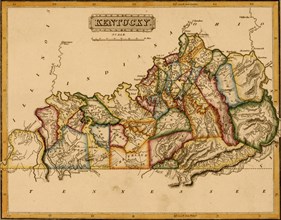
UMG20A01_118
Kentucky - 1817
UMG20A04_084
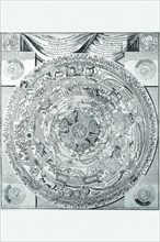
Celestial Map 1603
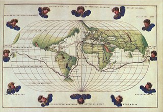
UMG20A04_093
World Map 1599
UMG20A04_102
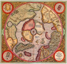
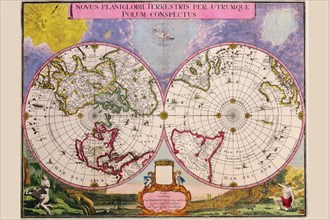
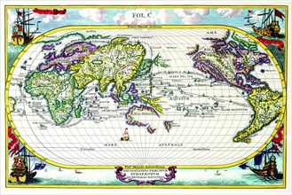
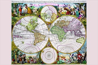
Novus Planiglobii Terrestris Per Utrumque Polum Co...
UMG20A04_113
Map of the Americas 1628
UMG20A04_128
Africa 1691
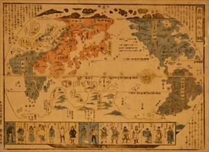
UMG20A04_137
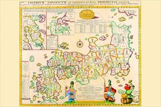
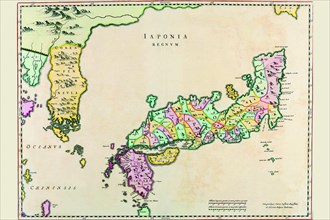
Prefectures & the Peoples of Japan 1727
UMG20A00_332
Perry arrives in Uraga, Soshu Province 1872
UMG20A01_092
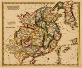
China - 1817
UMG20A01_103
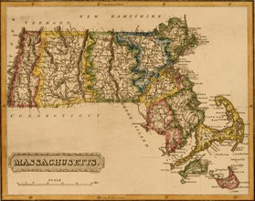
Massachusetts - 1817
UMG20A01_110
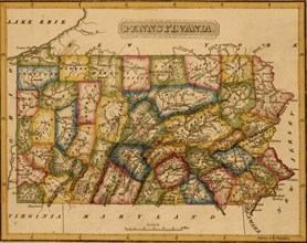
Pennsylvania - 1817
UMG20A01_121
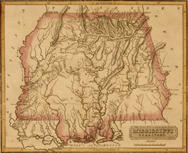
Mississippi Territory - 1817
UMG20A04_092
World Map of lands and waterways 1652
UMG20A04_104
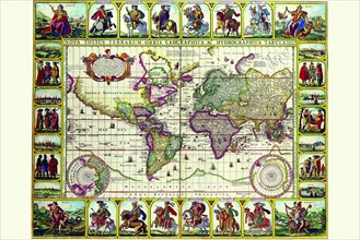
Navigationes Precipae Europorum ad Exteras Natione...
UMG20A04_117
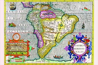
South America 1630
UMG20A04_125
Africa 1658
UMG20A04_136
Japan & Korea 1655
UMG20A00_331
Perry arrives in Uraga, Soshu Province 1871
UMG20A00_349
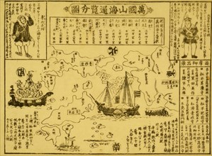
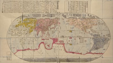
Japanese Woodblock map Based on Matteo Ricci's Wor...
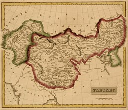
UMG20A01_093
Tartary - Mongolia - 1817
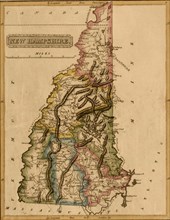
UMG20A01_102
New Hampshire - 1817
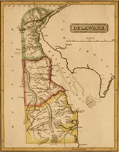
UMG20A01_111
Delaware - 1817
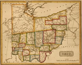
UMG20A01_120
Ohio - 1817
UMG20A04_091
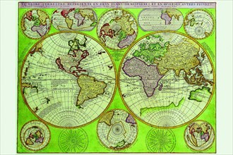
Stereographic World Map with Insets of Polar Proje...
UMG20A04_105
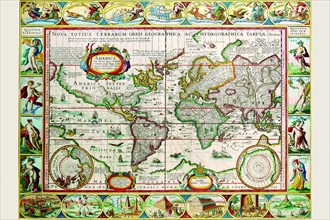
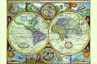
New & Accurate Map of the World; a Stereographic P...
UMG20A04_116
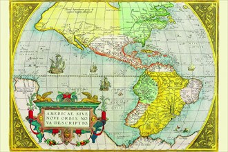
The Americas 1579
UMG20A04_126
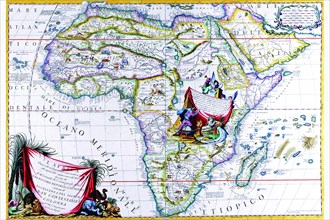
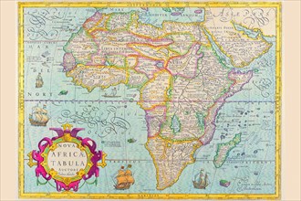
Africa 1610
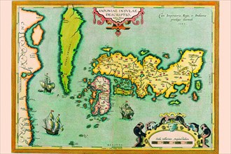
UMG20A04_135
Description of the Japanese Islands 1590
UMG20A00_333
People of Many Nations 1850
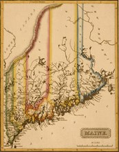
UMG20A01_104
Maine - 1817
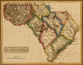
UMG20A01_115
South Carolina - 1817
UMG20A04_087
Stereographic Projection of the World with Latitud...
UMG20A04_098
Mappe Monde Nouvelle 1744
UMG20A04_106
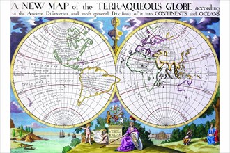
Stereographic Map of the World with Classical Illu...
UMG20A04_119
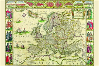
Europe 1650
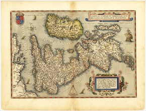
UMG20A04_123
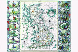
Britannia 1676
UMG20A04_134
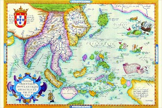
East Indies by Ortelius 1590
UMG20A04_141
Mappe-Monde Celeste Terrestre et Historique; Stere...
UMG20A00_343
Hainan Island 1850
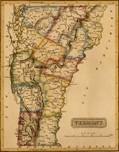
UMG20A01_105
Vermont - 1817
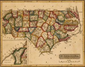
UMG20A01_114
North Carolina - 1817
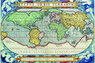
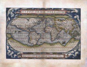
UMG20A04_088
Typus Orbis Terrarum from the Theatre of the World...
- Page
-
- sur
- 3