2717 résultats pour : océans
- Page
-
- sur
- 28
Connectez-vous pour plus de résultats
HRM26A25_258
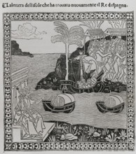
Christopher Columbus, (1451-1506), Navigator, cart...
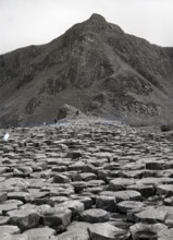
HRM26A28_336
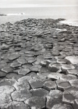
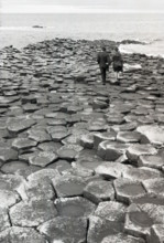
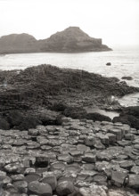
Giant's Causeway, County Antrim, Northern Ireland,...
HRM26A28_238
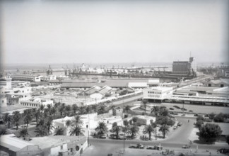
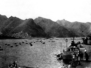
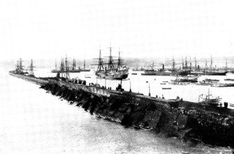
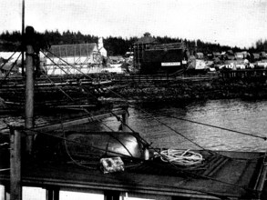
The Harbour, Casablanca, Morocco, c1955. Creator: ...
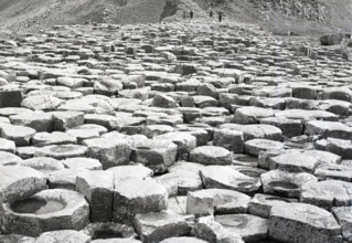
HRM26A28_337
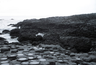
Giant's Causeway, County Antrim, Northern Ireland,...
HRM26A28_338
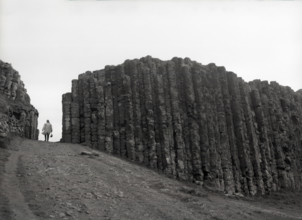
Giant's Causeway, County Antrim, Northern Ireland,...
HRM26A28_339
Giant's Causeway, County Antrim, Northern Ireland,...
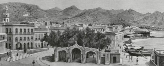
HRM26A25_308
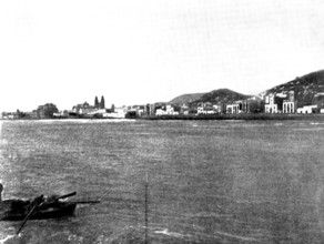
Calle de la Marina, (La Marina Street) and Alameda...
HRM26A26_055
General view of the city of La Coruna, Galicia, Sp...
HRM26A28_333
Giant's Causeway, County Antrim, Northern Ireland,...
HRM26A29_001
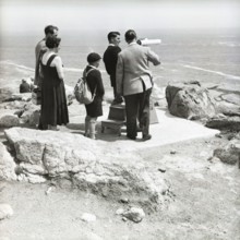
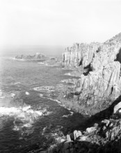
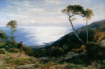
Land's End, Cornwall, c1955. Creator: Arthur Charl...
HRM26A28_335
Giant's Causeway, County Antrim, Northern Ireland,...
HRM26A28_334
Giant's Causeway, County Antrim, Northern Ireland,...
HRM26A22_186
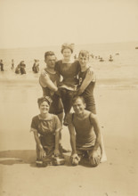
Group portrait on the beach, Block Island, 1912. C...
HRM26A25_320
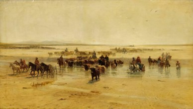
Crossing of the war frigate 'Navas de Tolosa' to t...
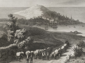
HRM26A26_092
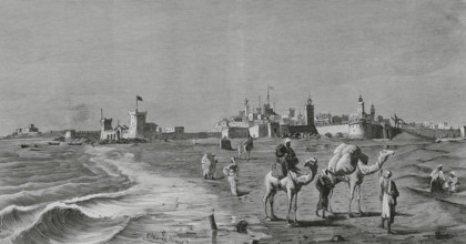
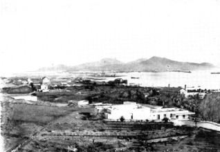
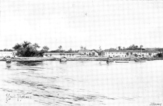
Mogador (now Essaouira), Morocco, 1883. General vi...
HRM26A26_182
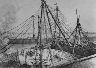
The new Machina at the San Fernando dock, Havana, ...
HRM26A22_153
Einar Sivard, 1914. Creator: Bain News Service.
HRM26A15_242
The Spanish-American Crisis: views of the Islands ...
HRM26A15_427
The Spanish-American War:...Grand Canary Island......
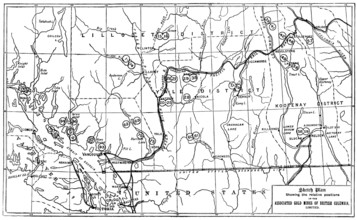
HRM26A15_020
Gold in British Columbia: plan of the associated g...
HRM26A15_416
On the Way to Klondike: views of Wrangel, Alaska, ...
HRM26A15_415
On the Way to Klondike: views of Wrangel, Alaska, ...
HRM26A20_378
Wreck of fishing boats on the coast of the Cantabr...
HRM26A21_090
Basque Provinces, (Vascongadas), Guipuzcoa provinc...
HRM26A10_498
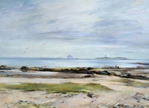
The Edge of the Sea, (Ayrshire Coast), 1877. Crea...
HRM26A18_054
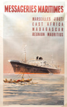
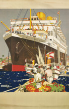
Messageries Maritimes, 1958. Creator: De Gachons, ...
HRM26A14_467
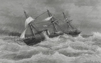
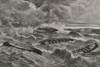
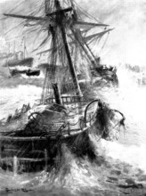
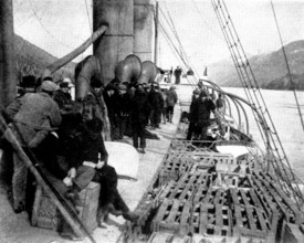
Waterlogged: a rescue in mid-Atlantic, 1898. Creat...
HRM26A16_374
St Agnes, Scilly Isles, c1955. Creator: Arthur Cha...
HRM26A14_488
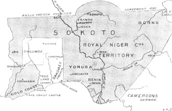
The French in West Africa: map with shaded portion...
HRM26A15_291
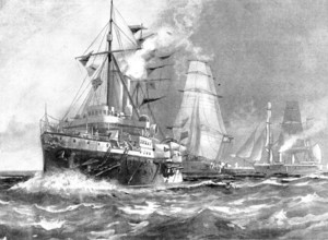
The Spanish-American War: Spanish war-ships - Colu...
HRM26A17_145
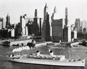
New York City, c1955. Creator: Arthur Charles Kirb...
HRM26A13_311
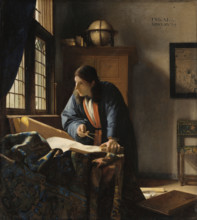
The Geographer, 1669. Creator: Jan Vermeer.
HRM26A21_094
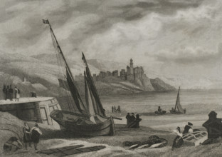
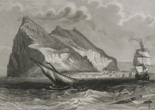
General view of Gibraltar, 1853. Creator: Antonio...
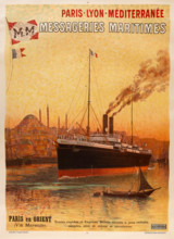
HRM26A18_049
Messageries Maritimes. Paris - Lyon - Méditerranée...
HRM26A17_143
New York City, c1955. Creator: Arthur Charles Kirb...
HRM26A15_189
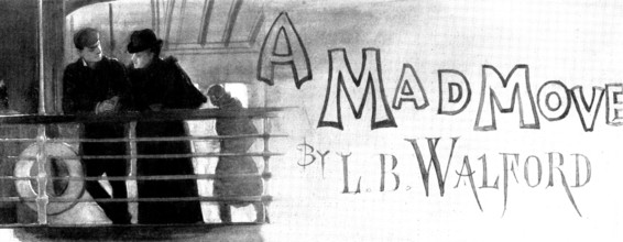
A Mad Move: Sir Robert lifted his cap..."I was loo...
HRM26A15_243
The Spanish-American Crisis: views of the Islands ...
HRM26A15_265
The Spanish-American War Preparations: the America...
HRM26A15_277
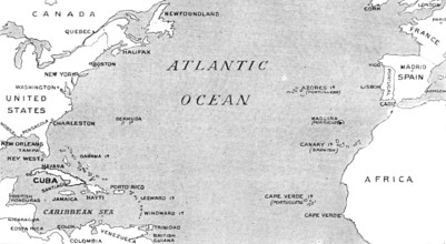
The Spanish-American War: map illustrating the rel...
HRM26A15_116
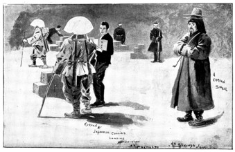
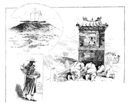
The Far East: Sketches in Korea, 1898. Creator: Un...
HRM26A15_419
On the Way to Klondike: views of Wrangel, Alaska, ...
HRM26A16_136
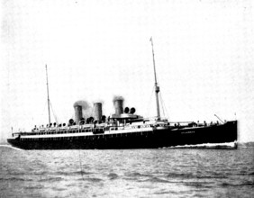
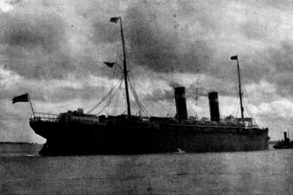
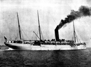
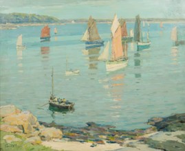
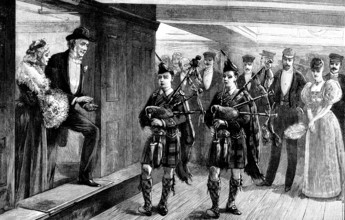
The new Castle Line mail steam-ship "Carisbrook Ca...
HRM26A20_172
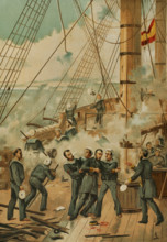
Casto Méndez Núñez wounded during the Battle of Ca...
HRM26A15_115
The Far East: Sketches in Korea, 1898. Creator: Un...
HRM26A15_278
The Spanish-American War: the steam-ship "New York...
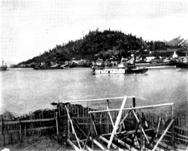
HRM26A15_420
On the Way to Klondike: views of Wrangel, Alaska, ...
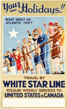
HRM26A19_113
White Star Line - Your Holidays!, c1927. Creator: ...
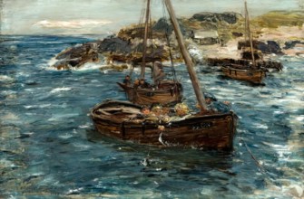
HRM26A10_453
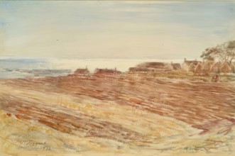
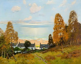
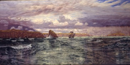
A Ground Swell, Carradale, 1883-1886. Creator: Wil...
HRM26A18_133
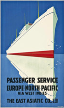
The East Asiatic Company - Passenger Service, c193...
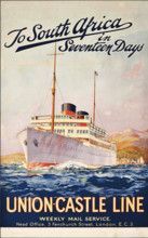
HRM26A19_264
To South Africa in Seventeen Days - Union-Castle L...
HRM26A17_050
Entrance to Tresco Abbey Gardens, Scilly Isles, c1...
HRM26A17_367
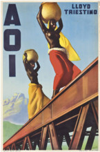
Lloyd Triestino: AOI (Africa Orientale Italiana), ...
HRM26A10_434
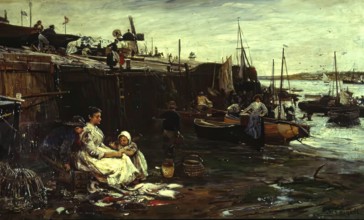
Fisherfolk at St Ives, 1893. Creator: John Roberts...
HRM26A16_319
Land's End, Cornwall, c1955. Creator: Arthur Charl...
HRM26A19_403
The Royal Mail Line, c1930. Creator: Shoesmith, Ke...
HRM26A20_211
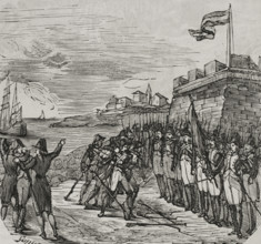
Surrender of San Sebastián, War of Roussillon, (17...
HRM26A15_424
The Spanish-American War: the harbour of Las Palma...
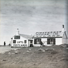
HRM26A16_320
First & Last House in England, Land's End, Cornwal...
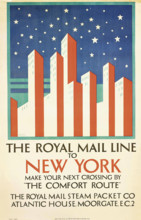
HRM26A19_485
The Royal Mail Line to New York, c1925. Creator: T...
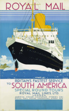
HRM26A19_405
Royal Mail to South America, c1930. Creator: Shoes...
HRM26A15_187
A Mad Move, 1898. Creator: Unknown.
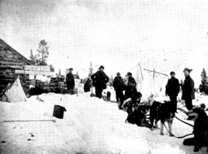
HRM26A15_418
On the Way to Klondike: views of Wrangel, Alaska, ...
HRM26A16_476
Land's End, Cornwall, c1955. Creator: Arthur Charl...
HRM26A19_372
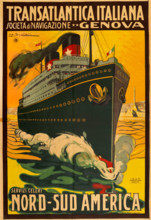
Transatlantica Italiana Società Anonima di Navigaz...
HRM26A15_417
On the Way to Klondike: views of Wrangel, Alaska, ...
HRM26A16_268
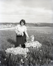
Picking flowers, St Mary's, Scilly Isles, c1955. C...
HRM26A04_227
Corrie, Arran, c1830s. Creator: Robert Houston.
HRM26A08_260
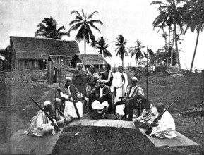
Sakalava Princes, north-west coast of Madagascar, ...
HRM26A00_065
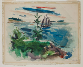
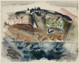
Outward From Deer Isle, Maine, 1922. Creator: John...
HRM26A00_254
At Cape Ann, between 1860 and 1909. Creator: Walte...
HRM26A04_150
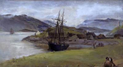
At Kyleakin, Isle of Skye, 1881. Creator: James Cl...
HRM26A04_339
Iona, Pink Rocks, 1920-1934. Creator: Samuel John ...

HRM26A09_174
A Visit to Tafilet: landing in Saffi, 1895. Creato...
HRM26A04_338
The North Ford, Uist, 1894. Creator: Robert Weir A...
HRM26A04_437
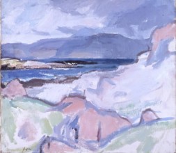
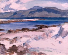
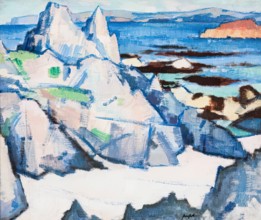
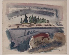
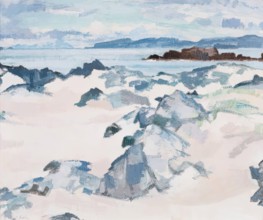
Blue Sea, Iona, 1927. Creator: Samuel John Peploe.
HRM26A06_150
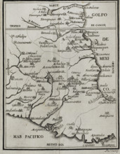
Map of the territory of New Spain, 1771. Creator:...
HRM26A06_168
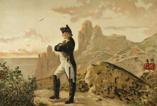
Napoleon Bonaparte, (1769-1821), French military a...
HRM26A06_337
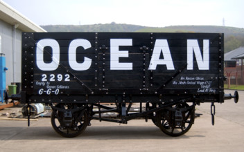
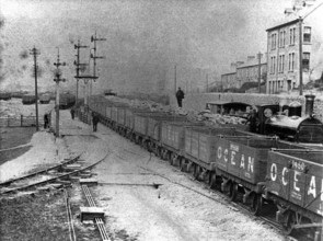
12 ton coal wagon, c1887-1907 Creator: Unknown.
HRM26A00_059
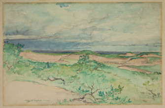
Green Head, Deer Isle, Maine, 1923. Creator: John ...
HRM26A04_399
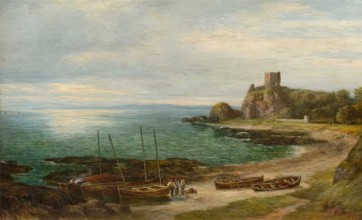
Dunollie Castle, 1865. Creator: George Reid.
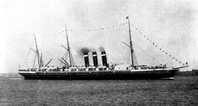
HRM26A09_121
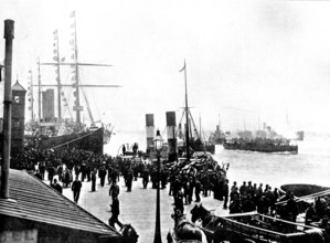
The White Star R.M.S. "Germanic," lying at Liverpo...
HRM26A04_299
Morning - Isle of Arran "All in the Blue Unclouded...
HRM26A00_136
Andrew's Island, Stonington, Maine, 1924. Creator:...
HRM26A04_036
Cathedral Rock, Iona, 1920. Creator: Samuel John P...
HRM26A04_253
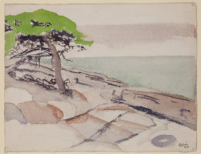
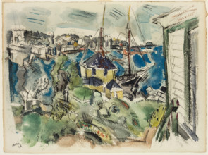
In with the Tide, Concarneau, 1929-30. Creator: Te...
HRM26A06_310
Coal sidings, Taff Vale Railway - Ocean coal wagon...
HRM26A00_060
From Deer Isle, Maine Looking Outward, 1923. Creat...
HRM26A08_074
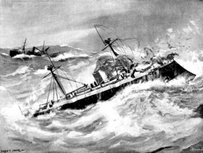
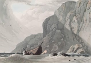
The Spanish war-ship "Reina Regente," reported los...
HRM26A08_281
The Trouble in Nicaragua: Admiral Stephenson's Squ...
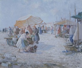
HRM26A04_277
Market on the Atlantic Coast, c1890-1940. Creator:...
HRM26A08_230
Corinto, Nicaragua, 1895. Creator: George Meisenba...
HRM26A09_207
Opening of the Kaiser Wilhelm Canal...: piping to ...
HRM26A02_323
Ardnamurchan Point, Argyllshire, 1818. Creator: Wi...
HRM26A09_206
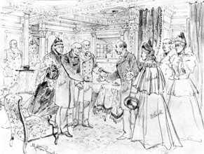
Opening of the Kaiser Wilhelm Canal...: Mr. Gladst...
HRM26A04_246
Kildonan, Arran, 1900-1924. Creator: James Lawton ...
HRM26A00_133
Pertaining to Stonington Harbor, 1926. Creator: Jo...
HRM26A04_166
The Isles of Skomer and Skokholm, just outside Mil...
HRM26A04_445
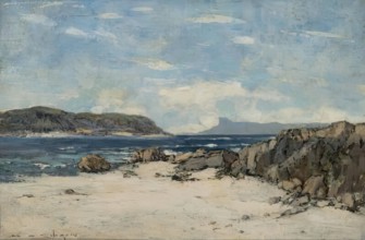
The Scuir of Eigg, 1900-1924. Creator: William Alf...
HRM26A04_021
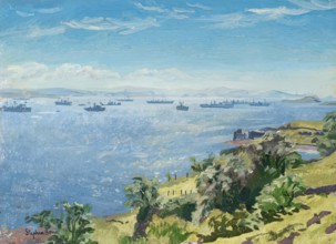
Convoy Anchorage, from Lismore, 1939-1945. Creator...
HRM26A04_434
Iona, Grey Day, 1927. Creator: Samuel John Peploe.
- Page
-
- sur
- 28