7 résultats pour : lord burghley's atlas
- Page
-
- sur
- 1
Connectez-vous pour plus de résultats
![Map of Great Britain and Ireland, c1564-c1570. 'A general description of England & Irelad [sic]](https://lres.photo12.com/th/t-hrm25a14_268.jpg)
HRM25A14_268
Map of Great Britain and Ireland, c1564-c1570. 'A ...
HRM25A16_378
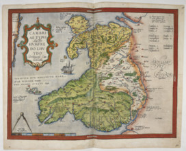
Coloured printed map of Wales and Anglesey, 1579. ...
HRM25A16_377
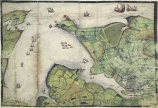
Coloured manuscript plan of Falmouth Haven, or Har...
HRM25A16_379
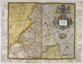
Engraved map of Northumberland, from drawings of C...
HRM25A16_380
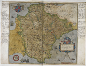
Printed map of Devon, dated 1575, with marginal no...
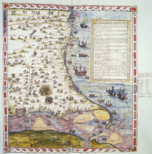
HRM25A15_427
Map of the River Humber and land between Hull and ...
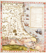
HRM25A14_382