12 résultats pour : christopher saxton
- Page
-
- sur
- 1
Connectez-vous pour plus de résultats
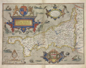
HRM25A23_310
Map of Cornwall, 1579. Creator: Christopher Saxto...
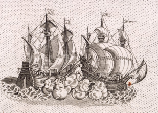
HRM25A15_414
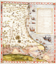
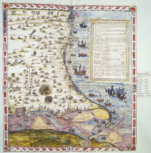
Two warships firing at each other, 1583. A pair of...
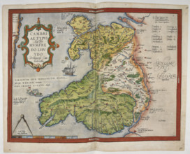
HRM25A16_378
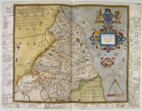
Coloured printed map of Wales and Anglesey, 1579. ...
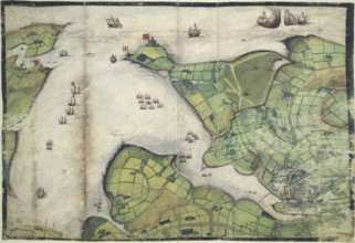
HRM25A16_377
Coloured manuscript plan of Falmouth Haven, or Har...
HRM25A16_379
Engraved map of Northumberland, from drawings of C...
HRM25A16_380
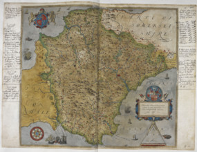
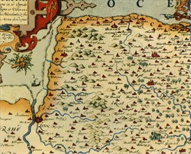
Printed map of Devon, dated 1575, with marginal no...
HRM25A15_427
Map of the River Humber and land between Hull and ...
HRM25A14_382
Top half of Lord Burghley's chart of the Humber, 1...
HRM25A15_332
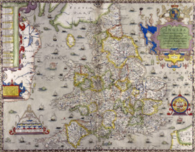
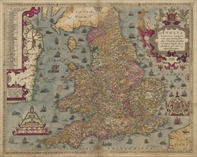
A map of England and Wales, 1583. The various main...
HRM19G32_473
'Saxton's Map of Norfolk, 1574', (1944). Creator:...
HRM19G32_474
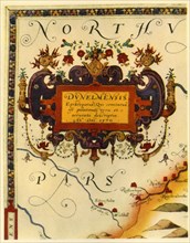
'Cartouche by A. Ryther on Saxton's Map of Durham,...
HRM19E20_133