1709 résultats pour : world map
- Page
-
- sur
- 18
Connectez-vous pour plus de résultats
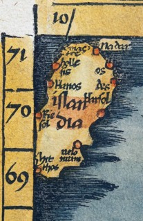
BRK26J67_389
Iceland, detail from antique historical map of Sca...
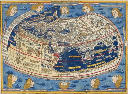
BRK26J82_205
World map by Claudius Ptolemy or Ptolemy, colored ...
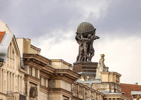
BRK26J27_306
Museum of Communication in the building of the for...
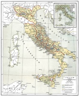
BRK26J18_425
Historical map of Ancient Italy, c. 218 BC
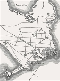
BRK26J18_009
City plan of ancient Phoenician city of Carthage, ...
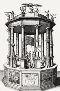
BRK26J20_375
Tabvlæ Rudolphinæ, Rudolphine Tables, a book by Jo...
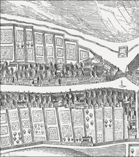
BRK26J42_200
Bird's eye view of the Canongate, Edinburgh, Scotl...
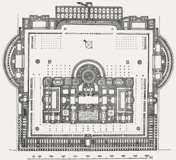
BRK26J31_204
Plan of the Baths of Caracalla in ancient Rome, It...

BRK26J48_496
A cheerful couple sits on a gray sofa, enjoying co...
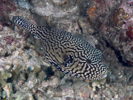
BRK26J33_196
Black-and-white-patterned pufferfish, map pufferfi...
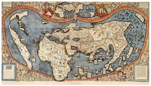
BRK26J02_364
The world map by cartographer Martin Waldseemüller...
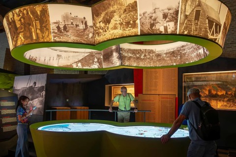
BRK26I82_209
Visitors looking at map in the In Flanders Fields ...
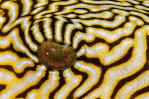
BRK26I69_313
Eye detail of a Map puffer fish, (Arothron mappa),...
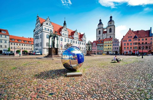
BRK26I63_352
Market square with town hall, city church, town an...
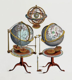
BRK26I92_019
Types of globe: Armillary sphere, terrestial globe...
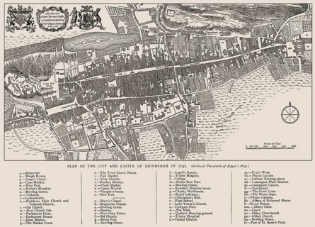
BRK26I87_012
Plan of Edinburgh in 1742, Scotland, United Kingdo...
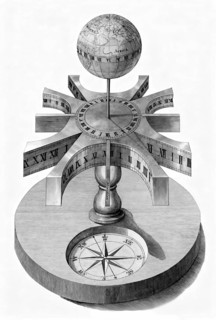
BRK26I69_183
A portable universal sundial with an integrated gl...
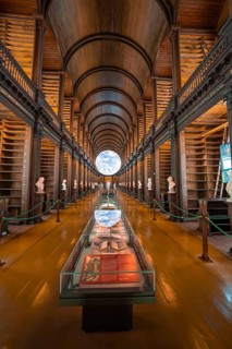
BRK26I04_081
Library room with exhibited globe and old book col...
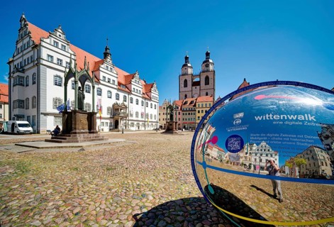
BRK26I25_343
Market square with town hall, city church, town an...
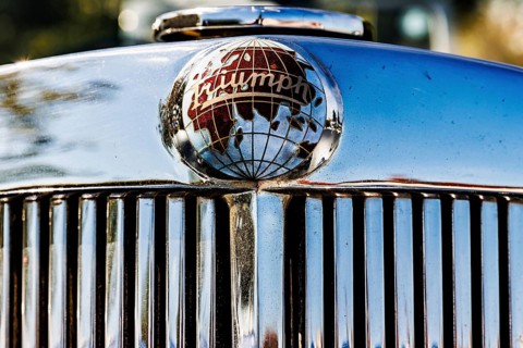
BRK26I52_208
Chrome globe mascot bearing the Triumph name on a ...
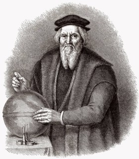
BRK26I41_346
Sebastian Cabot, ca. 1474 - 1557, ein italienische...
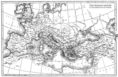
BRK26I47_049
Historical map of the Roman Empire
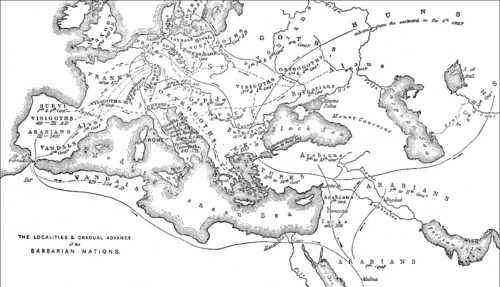
BRK26I38_199
Historical map of the origin or occupation of the ...
BRK26I03_191
Person holding smartphone showing gps navigation a...
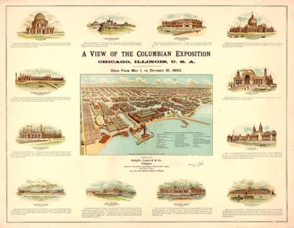
BRK26I17_302
Detailed bird's-eye view of the World's Columbian ...
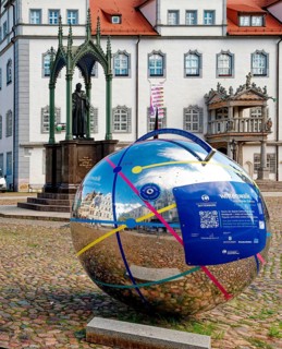
BRK26H67_037
Market square with town hall and globe with QR cod...
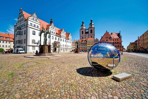
BRK26H79_331
Market square with town hall, city church, town an...
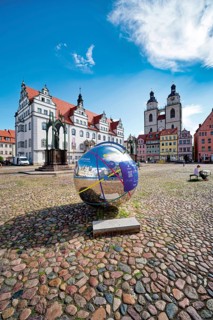
BRK26H57_078
Market square with town hall, city church, town an...
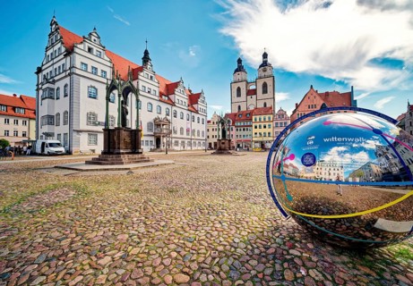
BRK26H60_326
Market square with town hall, city church, town an...
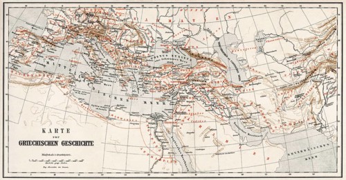
BRK26H84_500
Historical map of ancient Greece
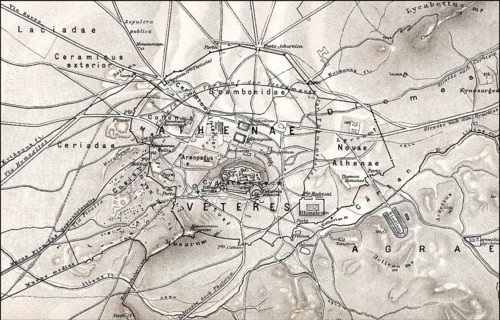
BRK26H82_268
Historical map of ancient Athens, Greece, Europe, ...
BRK26H79_067
A black-and-white-striped Yellowfin Puffer, the ma...
BRK26H92_269
Travel geography navigation concept background, le...
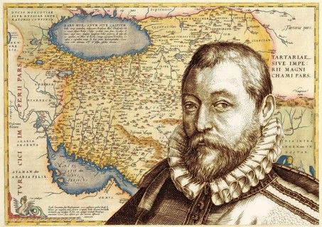
BRK26H67_499
Portrait of Abraham Ortelius, 1527 – 1598, Flemish...
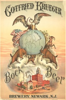
BRK26H69_452
Advertising poster, beverage advertisement, poster...
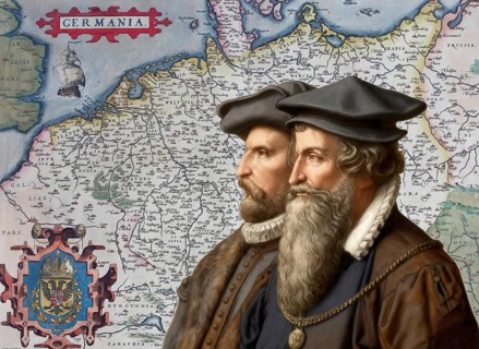
BRK26H55_413
The cartographers Gerhard Mercator and Abraham Ort...
BRK26H97_458
Young woman walking across a crosswalk outside a m...
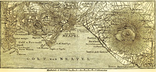
BRK26I02_092
Map of the city of Naples and the surrounding area...
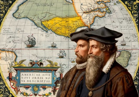
BRK26H55_230
The cartographers Gerhard Mercator and Abraham Ort...
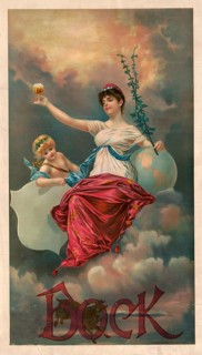
BRK26H56_495
Advertising poster, beverage advertisement, advert...
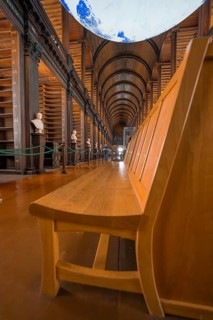
BRK26H10_011
Wooden bench in a historic library with globe and ...
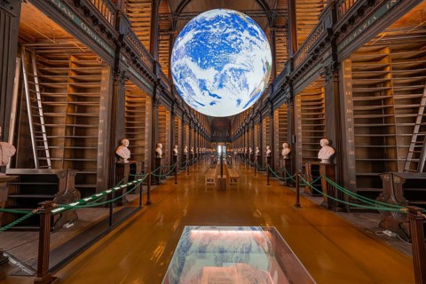
BRK26H05_097
Impressive library with illuminated globe and clas...
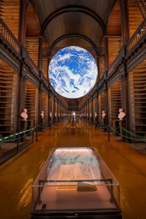
BRK26H05_091
Impressive library with lively globe display and o...
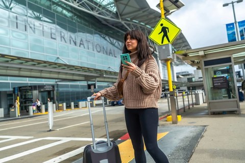
BRK26H48_041
Young woman standing outside an international airp...
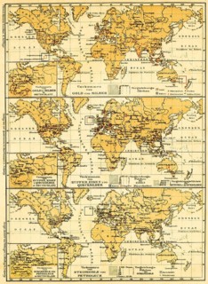
BRK26H35_119
World maps of the continents with their mineral re...
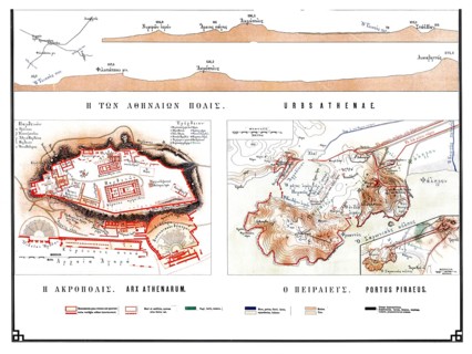
BRK26H31_469
Historical map of ancient Athens from 1906, illust...
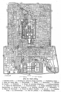
BRK26H01_385
City map, Imperial Palace, Monastery, Gate of Heav...
BRK26G78_371
An employee plays on a retro arcade gaming machine...
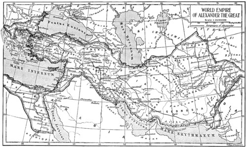
BRK26G67_017
Historical map of the world empire of Alexander th...
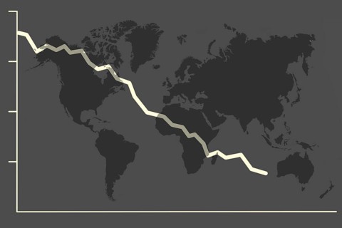
BRK26G93_256
Illustration with falling share price and a world ...
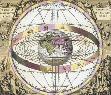
BRK26G76_329
Ptolemy's worldview, the earth as the center of th...
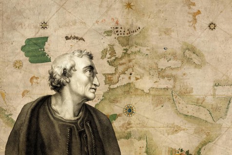
BRK26G40_186
Facsimile of the Kuntsmann II Portolan, Amerigo Ve...
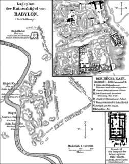
BRK26G13_200
Plan of the ruins of ancient Babylon
BRK26G23_155
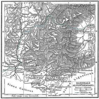
Hannibal Barkas, c. 246-183 BC, Carthaginian milit...
BRK26G11_215
Oberhausen, North Rhine-Westphalia, Germany, Gasom...
BRK26G37_205
Oberhausen, North Rhine-Westphalia, Germany, Gasom...
BRK26G45_490
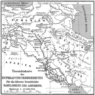
Map of the Assyrian Empire
BRK26G17_136
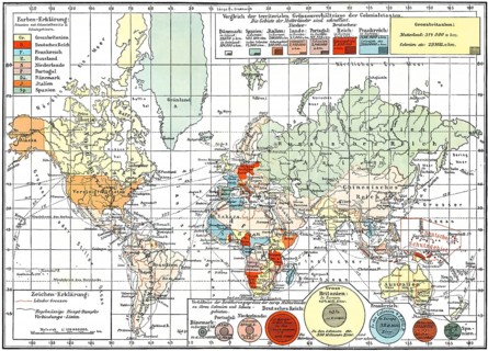
Map of colonial empires throughout the world, end ...
BRK26G40_413
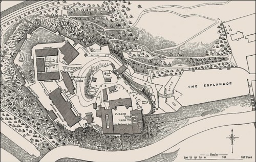
Ground plan of Edinburgh Castle in the 19th centur...
BRK26G25_048
A scenic view from an airplane window highlighting...
BRK26G50_188
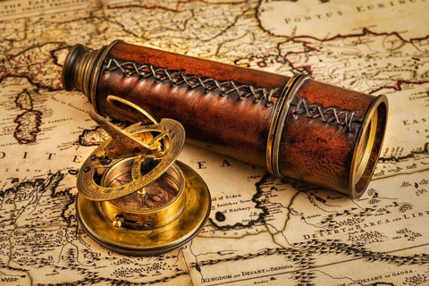
Travel geography navigation concept background, ol...
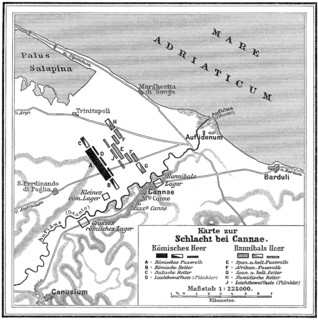
BRK26F79_094
Battle of Cannae, Second Punic War on 2 August 216...
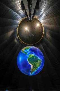
BRK26F65_396
Oberhausen, North Rhine-Westphalia, Germany, Gasom...
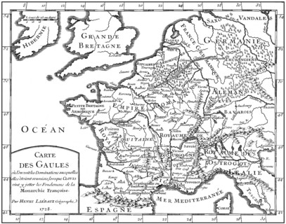
BRK26F59_455
Map of Gaul, 5th century, foundations of the Franç...
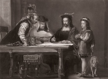
BRK26F78_388
Columbus propounding his theory of a New World
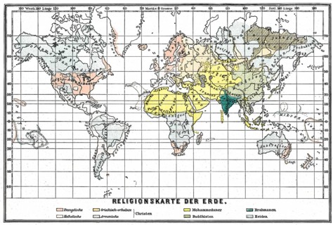
BRK26F85_469
Religions Map of the World, 19th century
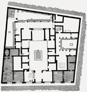
BRK26F83_093
Plan of the House of Sallust, ancient Roman city o...
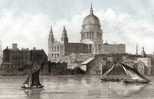
BRK26F61_298
Ansicht der St. Paul's Cathedral, London, 18. Jahr...

BRK26F86_398
A happy couple sits on a cozy couch, looking at a ...
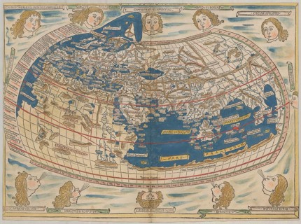
BRK26F58_082
World map by Claudius Ptolemy or Ptolemy, colored ...
BRK26F95_077
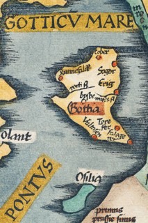
Gotland, detail from an antique historical map of ...

BRK26D06_472
Geography teacher holding globe and pointing at cl...
BRK26D29_333
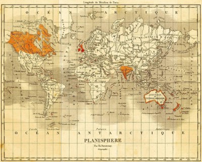
World map with England and the English colonies in...
BRK26D11_486
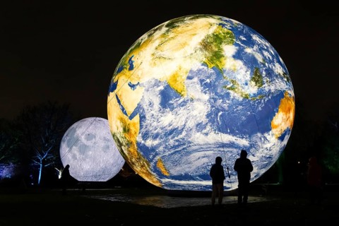
The Winter Lights will take place in the Palmengar...
BRK26D20_293
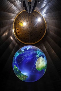
Oberhausen, North Rhine-Westphalia, Germany, Gasom...
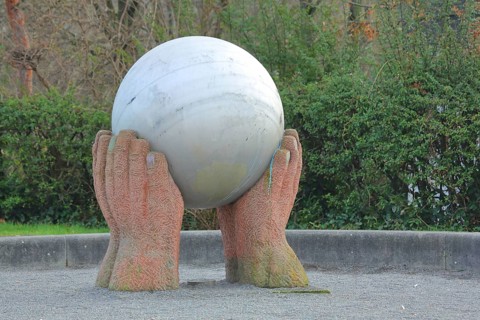
BRK26D12_109
Sculpture The world in my hands by Hans Günther Th...
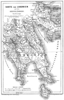
BRK26D35_006
Map of Laconia, a historical and administrative re...
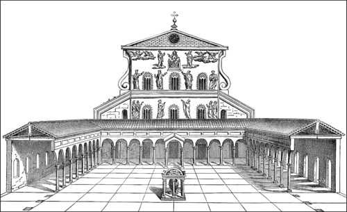
BRK26D54_382
Old St. Peter's Basilica, Vatican, Rome, Italy, 13...
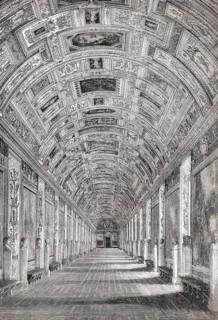
BRK26D21_099
The gallery of maps, Vatican Museums, Vatican City...
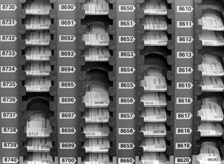
BRK26D17_368
Essen, DEU, 17.11.85 - Stamp cards of the workers ...
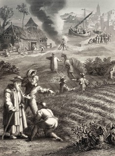
BRK26D18_356
The Parable of the Weeds, New Testament, steel eng...
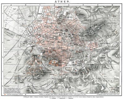
BRK26D49_111
Historical map of Athens, 19th century, 1894, Gree...
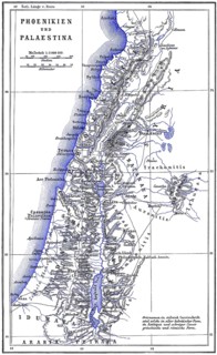
BRK26D19_224
Map of ancient Phoenicia and Palestine
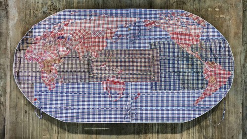
BRK26E47_185
Migration pattern, refugee world map made of plast...
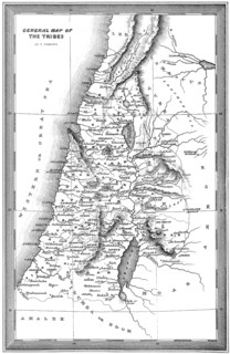
BRK26E19_255
Historical map of the Tribes of Israel, 10th centu...
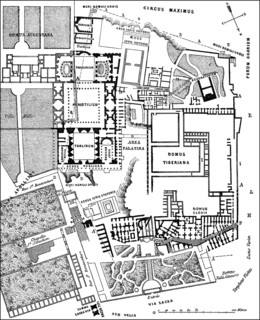
BRK26E40_235
Plan of the excavations at Palatine Hill, Rome, It...
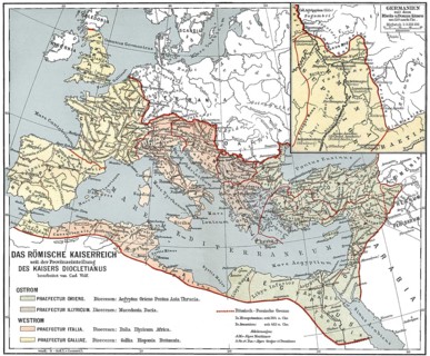
BRK26E07_250
Historical map of the Roman Empire
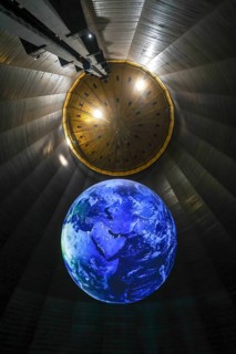
BRK26E13_371
Oberhausen, North Rhine-Westphalia, Germany, Gasom...
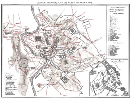
BRK26E50_041
Plan of ancient Rome and Rome in the 19th century
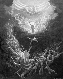
BRK26E43_437
The Last Judgment, the End of the Old World, Revel...
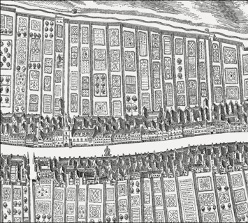
BRK26E19_193
Bird's eye view of the Canongate, Edinburgh, Scotl...
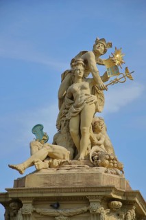
BRK26E55_205
Market fountain with Roman god Mercury with Hermes...
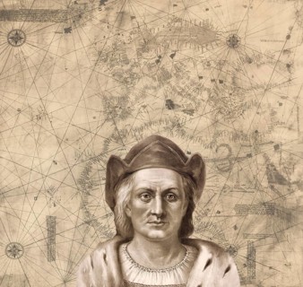
BRK26E49_359
Christopher Columbus, 1451, 1506, Italian navigato...
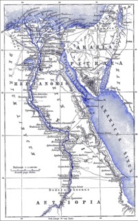
BRK26E25_454
Map of Egypt, 19th century

BRK26E42_213
A couple sits on a sofa analyzing financial docume...

BRK26E41_058
A woman at an airport smiles joyfully, headphones ...
BRK26E16_275
A woman sits contently on a bench in an airport te...
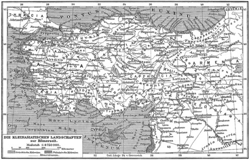
BRK26D81_154
Ancient Map of Asia Minor or Anatolia
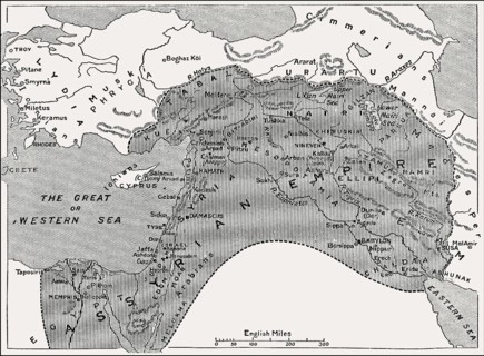
BRK26D59_476
Map of the Assyrian Empire, 1000 BC until 700 BC
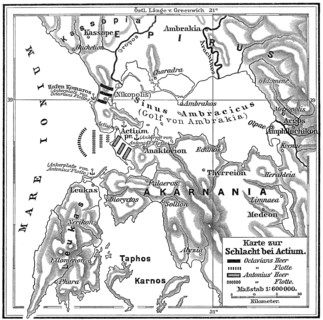
BRK26D80_358
Map of the Battle of Actium on 2 September 31 BC, ...
- Page
-
- sur
- 18