Légende
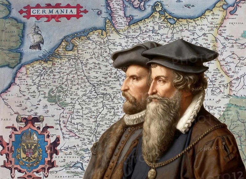
The cartographers Gerhard Mercator and Abraham Ortelius at work, digitally edited based on a historical map by Abraham Ortelius from his world atlas Theatrum Orbis Terrarum published in 1570, showing Germania, Holy Roman Empire of the German Nation
Date
07 août 2026
Crédit
Photo12/ImageBROKER/Heinz-Dieter Falkenstein
Notre référence
BRK26H55_413
Model release
Non
Property release
Non
Licence
Libre de droits
Format disponible
135.9Mo (45.3Mo) / 68.4cm x 49.8cm / 8076 x 5880 (300dpi)